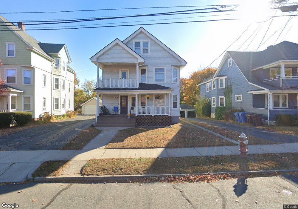
81 Sefton Dr Unit 2 New Britain, CT 06053
Estimated Value: $302,000 - $430,000
4
Beds
2
Baths
1,520
Sq Ft
$248/Sq Ft
Est. Value
About This Home
This home is located at 81 Sefton Dr Unit 2, New Britain, CT 06053 and is currently estimated at $376,315, approximately $247 per square foot. 81 Sefton Dr Unit 2 is a home located in Hartford County with nearby schools including Holmes School, Pulaski Middle School, and Mountain Laurel Sudbury School.
Ownership History
Date
Name
Owned For
Owner Type
Purchase Details
Closed on
Sep 6, 2001
Sold by
Wells Scott
Bought by
Voget Terri L
Current Estimated Value
Create a Home Valuation Report for This Property
The Home Valuation Report is an in-depth analysis detailing your home's value as well as a comparison with similar homes in the area
Home Values in the Area
Average Home Value in this Area
Purchase History
| Date | Buyer | Sale Price | Title Company |
|---|---|---|---|
| Voget Terri L | $114,000 | -- |
Source: Public Records
Mortgage History
| Date | Status | Borrower | Loan Amount |
|---|---|---|---|
| Open | Voget Terri L | $15,500 | |
| Closed | Voget Terri L | $45,000 | |
| Closed | Voget Terri L | $160,000 | |
| Closed | Voget Terri L | $105,000 |
Source: Public Records
Tax History
| Year | Tax Paid | Tax Assessment Tax Assessment Total Assessment is a certain percentage of the fair market value that is determined by local assessors to be the total taxable value of land and additions on the property. | Land | Improvement |
|---|---|---|---|---|
| 2025 | $7,139 | $182,210 | $59,360 | $122,850 |
| 2024 | $7,214 | $182,210 | $59,360 | $122,850 |
| 2023 | $6,975 | $182,210 | $59,360 | $122,850 |
| 2022 | $5,738 | $115,920 | $27,370 | $88,550 |
| 2021 | $5,738 | $115,920 | $27,370 | $88,550 |
| 2020 | $5,854 | $115,920 | $27,370 | $88,550 |
| 2019 | $5,854 | $115,920 | $27,370 | $88,550 |
| 2018 | $5,854 | $115,920 | $27,370 | $88,550 |
| 2017 | $5,264 | $104,230 | $24,850 | $79,380 |
| 2016 | $5,264 | $104,230 | $24,850 | $79,380 |
| 2015 | $5,107 | $104,230 | $24,850 | $79,380 |
| 2014 | $5,107 | $104,230 | $24,850 | $79,380 |
Source: Public Records
Map
Nearby Homes
- 175 Amherst St
- 71 Hatch St
- 497 Commonwealth Ave
- 1634 Stanley St
- 53 Park Dr
- 1320 Stanley St
- 182 Francis St
- 1235 East St Unit C
- 1235 East St Unit B
- 337 Allen St
- 50 Long St Unit 5
- 15 Lester St
- 482 Commonwealth Ave
- 45 Tunxis St
- 198 Oak St
- 255 Lasalle St
- 170 Wilcox St
- 77 Thorniley St
- 76 West St
- 223 Lawlor St
- 81 Sefton Dr
- 75 Sefton Dr
- 85 Sefton Dr
- 71 Sefton Dr
- 93 Sefton Dr
- 65 Sefton Dr
- 65 Sefton Dr Unit 1
- 89 Paul Manafort Dr
- 120 Hillcrest Ave
- 114 Hillcrest Ave
- 57 Sefton Dr
- 126 Hillcrest Ave
- 110 Hillcrest Ave
- 95 Paul Manafort Dr
- 102 Hillcrest Ave
- 132 Hillcrest Ave
- 70 Sefton Dr
- 138 Hillcrest Ave
- 101 Paul Manafort Dr
- 53 Sefton Dr
Your Personal Tour Guide
Ask me questions while you tour the home.