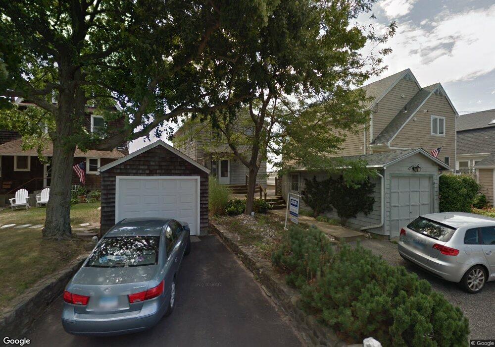
81 Shell Ave Milford, CT 06460
Downtown Milford NeighborhoodEstimated Value: $757,000 - $2,165,000
3
Beds
3
Baths
1,620
Sq Ft
$841/Sq Ft
Est. Value
About This Home
This home is located at 81 Shell Ave, Milford, CT 06460 and is currently estimated at $1,362,522, approximately $841 per square foot. 81 Shell Ave is a home located in New Haven County with nearby schools including Meadowside School, West Shore Middle School, and Jonathan Law High School.
Ownership History
Date
Name
Owned For
Owner Type
Purchase Details
Closed on
Apr 9, 2014
Sold by
Allain Rodney R
Bought by
Rodney R Allain Ret and Allain
Current Estimated Value
Purchase Details
Closed on
Dec 12, 2011
Sold by
Smallwood Donna
Bought by
Allain Rodney
Home Financials for this Owner
Home Financials are based on the most recent Mortgage that was taken out on this home.
Original Mortgage
$660,000
Interest Rate
4.09%
Create a Home Valuation Report for This Property
The Home Valuation Report is an in-depth analysis detailing your home's value as well as a comparison with similar homes in the area
Home Values in the Area
Average Home Value in this Area
Purchase History
| Date | Buyer | Sale Price | Title Company |
|---|---|---|---|
| Rodney R Allain Ret | -- | -- | |
| Rodney R Allain Ret | -- | -- | |
| Allain Rodney | $880,000 | -- | |
| Allain Rodney | $880,000 | -- |
Source: Public Records
Mortgage History
| Date | Status | Borrower | Loan Amount |
|---|---|---|---|
| Previous Owner | Allain Rodney | $660,000 |
Source: Public Records
Tax History Compared to Growth
Tax History
| Year | Tax Paid | Tax Assessment Tax Assessment Total Assessment is a certain percentage of the fair market value that is determined by local assessors to be the total taxable value of land and additions on the property. | Land | Improvement |
|---|---|---|---|---|
| 2025 | $26,538 | $898,060 | $588,000 | $310,060 |
| 2024 | $26,169 | $898,060 | $588,000 | $310,060 |
| 2023 | $24,400 | $898,060 | $588,000 | $310,060 |
| 2022 | $23,933 | $898,060 | $588,000 | $310,060 |
| 2021 | $22,103 | $799,380 | $521,920 | $277,460 |
| 2020 | $22,127 | $799,380 | $521,920 | $277,460 |
| 2019 | $22,151 | $799,380 | $521,920 | $277,460 |
| 2018 | $22,175 | $799,380 | $521,920 | $277,460 |
| 2017 | $22,215 | $799,380 | $521,920 | $277,460 |
| 2016 | $18,957 | $680,930 | $483,000 | $197,930 |
| 2015 | $17,624 | $632,150 | $483,000 | $149,150 |
| 2014 | $17,207 | $632,150 | $483,000 | $149,150 |
Source: Public Records
Map
Nearby Homes
- 66 Shell Ave
- 9 Willow St
- 83 Underhill Rd
- 139 Rogers Ave
- 129 Rogers Ave
- 30 Kinloch St
- 17 Chetwood St
- 9 Mayflower Ct
- 236 Rogers Ave
- 110 Meadowside Rd
- 48 Alden Place
- 84 Cooper Ave
- 70 Robert Treat Dr Unit 19
- 39 Point Lookout
- 49 Overlook Dr
- 91 Shelter Cove Rd
- 16 Elton St
- 50 Washington St
- 36 Shipyard Ln Unit C
- 88 Boston Post Rd