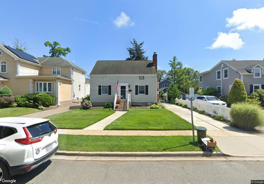
81 Stuyvesant Ave Merrick, NY 11566
Estimated Value: $740,091 - $773,000
4
Beds
2
Baths
1,236
Sq Ft
$612/Sq Ft
Est. Value
About This Home
This home is located at 81 Stuyvesant Ave, Merrick, NY 11566 and is currently estimated at $756,546, approximately $612 per square foot. 81 Stuyvesant Ave is a home located in Nassau County with nearby schools including Merrick Avenue Middle School, Sanford H Calhoun High School, and Grace Christian Academy.
Ownership History
Date
Name
Owned For
Owner Type
Purchase Details
Closed on
Apr 7, 2021
Sold by
Tew Theresa and Cummings Thomas E
Bought by
Murphy Donald and Murphy Karen
Current Estimated Value
Purchase Details
Closed on
Sep 18, 2018
Sold by
Cummings Terrance
Bought by
Tew Theresa and Cumming Thomas E
Purchase Details
Closed on
Apr 5, 2006
Sold by
Cummings Terrance
Purchase Details
Closed on
Jan 20, 2006
Sold by
Cummings Edward
Create a Home Valuation Report for This Property
The Home Valuation Report is an in-depth analysis detailing your home's value as well as a comparison with similar homes in the area
Home Values in the Area
Average Home Value in this Area
Purchase History
| Date | Buyer | Sale Price | Title Company |
|---|---|---|---|
| Murphy Donald | $480,000 | Fidelity National Title | |
| Tew Theresa | -- | Advantage Title | |
| -- | -- | -- | |
| -- | $75,000 | -- |
Source: Public Records
Tax History Compared to Growth
Tax History
| Year | Tax Paid | Tax Assessment Tax Assessment Total Assessment is a certain percentage of the fair market value that is determined by local assessors to be the total taxable value of land and additions on the property. | Land | Improvement |
|---|---|---|---|---|
| 2025 | $12,597 | $415 | $193 | $222 |
| 2024 | $2,669 | $411 | $192 | $219 |
| 2023 | $11,315 | $459 | $214 | $245 |
| 2022 | $11,315 | $459 | $214 | $245 |
| 2021 | $14,063 | $451 | $207 | $244 |
| 2020 | $5,451 | $444 | $443 | $1 |
| 2019 | $2,100 | $476 | $466 | $10 |
| 2018 | $2,002 | $507 | $0 | $0 |
| 2017 | $3,140 | $539 | $469 | $70 |
| 2016 | $5,447 | $570 | $446 | $124 |
| 2015 | $2,389 | $602 | $419 | $183 |
| 2014 | $2,389 | $602 | $419 | $183 |
| 2013 | $2,381 | $634 | $442 | $192 |
Source: Public Records
Map
Nearby Homes
- 2291 Girard Place
- 179 Commonwealth Ave
- 2991 Girard Place
- 25 Babylon Turnpike
- 1931 Miller Place
- 131 Gregory Ave
- 10 Central Pkwy
- 49 Princeton Place
- 96 Thelma Ave
- 1690 Argyle Rd
- 1674 Birch Dr
- 1818 Gormley Ave
- 174 Babylon Turnpike
- 138 Hewlett Ave
- 54 Beverly Rd
- 1729 Gormley Ave
- 19 Margaret Blvd
- 1707 Carroll Ave
- 1938 Meadowbrook Rd
- 1922 Horatio Ave
- 83 Stuyvesant Ave
- 1878 Stuyvesant Ave
- 1860 Stuyvesant Ave
- 72 Bedford Ave
- 73 Stuyvesant Ave
- 70 Bedford Ave
- 1867 Bedford Ave
- 80 Bedford Ave
- 1871 Stuyvesant Ave
- 1875 Stuyvesant Ave
- 93 Stuyvesant Ave
- 1879 Bedford Ave
- 1879 Bedford Ave Unit 1
- 1890 Stuyvesant Ave
- 84 Bedford Ave
- 88 Stuyvesant Ave
- 76 Stuyvesant Ave
- 2203 Washington St
- 1885 Stuyvesant Ave
- 1859 Stuyvesant Ave