81 Tielman Rd Ashland, PA 17921
Estimated Value: $260,000 - $374,523
3
Beds
3
Baths
2,622
Sq Ft
$122/Sq Ft
Est. Value
About This Home
This home is located at 81 Tielman Rd, Ashland, PA 17921 and is currently estimated at $318,841, approximately $121 per square foot. 81 Tielman Rd is a home located in Schuylkill County with nearby schools including North Schuylkill Elementary School and North Schuylkill Junior/Senior High School.
Ownership History
Date
Name
Owned For
Owner Type
Purchase Details
Closed on
Mar 13, 2008
Sold by
Wehry Ralph A and Kimmel Heather L
Bought by
Wehry Ralph A and Kimmel Heather L
Current Estimated Value
Home Financials for this Owner
Home Financials are based on the most recent Mortgage that was taken out on this home.
Original Mortgage
$256,000
Interest Rate
5.75%
Mortgage Type
New Conventional
Create a Home Valuation Report for This Property
The Home Valuation Report is an in-depth analysis detailing your home's value as well as a comparison with similar homes in the area
Home Values in the Area
Average Home Value in this Area
Purchase History
| Date | Buyer | Sale Price | Title Company |
|---|---|---|---|
| Wehry Ralph A | -- | None Available |
Source: Public Records
Mortgage History
| Date | Status | Borrower | Loan Amount |
|---|---|---|---|
| Closed | Wehry Ralph A | $256,000 |
Source: Public Records
Tax History Compared to Growth
Tax History
| Year | Tax Paid | Tax Assessment Tax Assessment Total Assessment is a certain percentage of the fair market value that is determined by local assessors to be the total taxable value of land and additions on the property. | Land | Improvement |
|---|---|---|---|---|
| 2025 | $5,566 | $71,650 | $14,795 | $56,855 |
| 2024 | $5,215 | $71,650 | $14,795 | $56,855 |
| 2023 | $5,215 | $71,650 | $14,795 | $56,855 |
| 2022 | $5,099 | $71,650 | $14,795 | $56,855 |
| 2021 | $5,036 | $71,650 | $14,795 | $56,855 |
| 2020 | $4,942 | $71,650 | $14,795 | $56,855 |
| 2018 | $4,771 | $71,650 | $14,795 | $56,855 |
| 2017 | $4,649 | $71,650 | $14,795 | $56,855 |
| 2015 | -- | $71,650 | $14,795 | $56,855 |
| 2011 | -- | $56,875 | $0 | $0 |
Source: Public Records
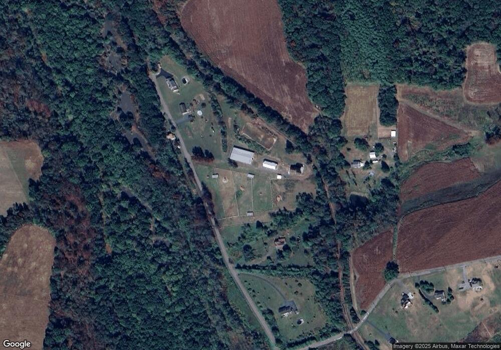
Map
Nearby Homes
- 416 Dutchtown Rd
- 604 Airport Rd
- 572 Airport Rd
- 60 South St
- 505 Mcknight St
- 323 N Hobart St
- 310 Hobart St
- 0 Dutchtown Rd
- 0 Airport Rd Unit PASK2024112
- 0 W Side of Stein Rd
- 2200 Spruce St
- Cambridge Plan at Country Club Estates
- New Yorker Plan at Country Club Estates
- Juniper Plan at Country Club Estates
- Stafford Plan at Country Club Estates
- Iowa Plan at Country Club Estates
- 2134 Centre St
- 1931 Walnut St
- 1713 Walnut St
- 28 N 19th St
- 78 Tielman Rd
- 71 Tielman Rd
- 105 Tielman Rd
- 65 Tielman Rd
- 121 Tielman Rd
- 113 Tielman Rd
- 0 E Side of Gordon Unit 1003618340
- 0 Buckhorn Rd Unit 1002156770
- Twenty S 25th St
- 0 S South Side of Turnpike Rd Unit 1003191200
- Marvin High Rd
- 0 Pauley Ct Unit 1007468346
- LOT 50 Country Club Estates
- LOT 37 Country Club Estates
- LOT 14 Country Club Estates
- LOT 35 Country Club Estates
- LOT 13 Country Club Estates
- LOT 34 Country Club Estates
- Lot 5 Country Club Estates
- Lot 4 Country Club Estates