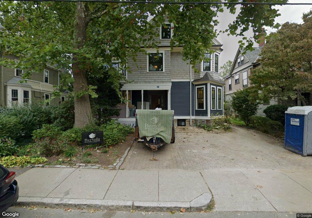
81 Toxteth St Brookline, MA 02446
Coolidge Corner NeighborhoodEstimated Value: $2,572,000 - $3,238,918
7
Beds
5
Baths
3,520
Sq Ft
$824/Sq Ft
Est. Value
About This Home
This home is located at 81 Toxteth St, Brookline, MA 02446 and is currently estimated at $2,900,730, approximately $824 per square foot. 81 Toxteth St is a home located in Norfolk County with nearby schools including Amos A. Lawrence School, Brookline High School, and St. Mary of the Assumption Elementary School.
Ownership History
Date
Name
Owned For
Owner Type
Purchase Details
Closed on
Jun 14, 2018
Sold by
Hogan Margaret A
Bought by
Tam Jenny M and Yoder Nicholas C
Current Estimated Value
Home Financials for this Owner
Home Financials are based on the most recent Mortgage that was taken out on this home.
Original Mortgage
$475,000
Outstanding Balance
$410,795
Interest Rate
4.5%
Mortgage Type
New Conventional
Estimated Equity
$2,489,935
Purchase Details
Closed on
Dec 9, 1983
Bought by
Hogan Margaret A
Create a Home Valuation Report for This Property
The Home Valuation Report is an in-depth analysis detailing your home's value as well as a comparison with similar homes in the area
Home Values in the Area
Average Home Value in this Area
Purchase History
| Date | Buyer | Sale Price | Title Company |
|---|---|---|---|
| Tam Jenny M | $1,800,000 | -- | |
| Hogan Margaret A | -- | -- |
Source: Public Records
Mortgage History
| Date | Status | Borrower | Loan Amount |
|---|---|---|---|
| Open | Tam Jenny M | $475,000 |
Source: Public Records
Tax History
| Year | Tax Paid | Tax Assessment Tax Assessment Total Assessment is a certain percentage of the fair market value that is determined by local assessors to be the total taxable value of land and additions on the property. | Land | Improvement |
|---|---|---|---|---|
| 2025 | $29,893 | $3,028,700 | $1,185,700 | $1,843,000 |
| 2024 | $28,038 | $2,869,800 | $1,140,100 | $1,729,700 |
| 2023 | $21,886 | $2,195,200 | $942,500 | $1,252,700 |
| 2022 | $21,303 | $2,090,600 | $897,600 | $1,193,000 |
| 2021 | $19,700 | $2,010,200 | $863,100 | $1,147,100 |
| 2020 | $18,646 | $1,973,100 | $784,700 | $1,188,400 |
| 2019 | $17,607 | $1,879,100 | $747,300 | $1,131,800 |
| 2018 | $15,756 | $1,665,500 | $597,800 | $1,067,700 |
| 2017 | $15,252 | $1,543,700 | $564,000 | $979,700 |
| 2016 | $14,623 | $1,403,400 | $527,100 | $876,300 |
| 2015 | $13,147 | $1,231,000 | $447,800 | $783,200 |
| 2014 | $12,831 | $1,126,500 | $407,100 | $719,400 |
Source: Public Records
Map
Nearby Homes
- 61 Toxteth St
- 65 Francis St Unit A
- 15 Kent Square
- 216 Aspinwall Ave
- 216 Aspinwall Ave Unit 3
- 60 Longwood Ave Unit 802
- 60 Longwood Ave Unit 307
- 45 Longwood Ave Unit 812
- 50 Longwood Ave Unit 518
- 50 Longwood Ave Unit 611
- 6 Parkway Rd Unit 6
- 100 Sewall Ave Unit 5
- 20 Chapel St Unit APH4
- 20 Chapel St Unit A303
- 20 Chapel St Unit A703
- 58 Kent St Unit 303
- 58 Kent St Unit 301
- 58 Kent St Unit 305
- 58 Kent St Unit 402
- 58 Kent St Unit 404
- 81 Toxteth St
- 81 Toxteth St Unit 1
- 85 Toxteth St
- 77 Toxteth St
- 87 Toxteth St
- 40 Harrison St
- 36 Harrison St
- 38 Harrison St
- 44 Harrison St Unit 2
- 44 Harrison St Unit 1
- 44 Harrison St Unit 1,44
- 71 Toxteth St
- 82 Toxteth St Unit 1
- 48 Harrison St
- 48 Harrison St Unit 1
- 93 Toxteth St
- 30 Harrison St Unit 32
- 30 Harrison St Unit 2
- 80 Toxteth St
- 67 Toxteth St
Your Personal Tour Guide
Ask me questions while you tour the home.