81 Trafalgar Rd Doylestown, PA 18901
Estimated Value: $417,000 - $485,000
3
Beds
3
Baths
1,364
Sq Ft
$320/Sq Ft
Est. Value
About This Home
This home is located at 81 Trafalgar Rd, Doylestown, PA 18901 and is currently estimated at $436,934, approximately $320 per square foot. 81 Trafalgar Rd is a home located in Bucks County with nearby schools including Groveland Elementary School, Tohickon Middle School, and Central Bucks High School-West.
Ownership History
Date
Name
Owned For
Owner Type
Purchase Details
Closed on
Oct 24, 2012
Sold by
Sands Carl H and Sands Reinette M
Bought by
Sands Carl H and Sands Reinette M
Current Estimated Value
Home Financials for this Owner
Home Financials are based on the most recent Mortgage that was taken out on this home.
Original Mortgage
$132,500
Outstanding Balance
$91,362
Interest Rate
3.42%
Mortgage Type
New Conventional
Estimated Equity
$345,572
Purchase Details
Closed on
Feb 9, 1993
Bought by
Sands Carl H and Sands Reinette M
Create a Home Valuation Report for This Property
The Home Valuation Report is an in-depth analysis detailing your home's value as well as a comparison with similar homes in the area
Home Values in the Area
Average Home Value in this Area
Purchase History
| Date | Buyer | Sale Price | Title Company |
|---|---|---|---|
| Sands Carl H | -- | Servicelink | |
| Sands Carl H | $129,400 | -- |
Source: Public Records
Mortgage History
| Date | Status | Borrower | Loan Amount |
|---|---|---|---|
| Open | Sands Carl H | $132,500 |
Source: Public Records
Tax History Compared to Growth
Tax History
| Year | Tax Paid | Tax Assessment Tax Assessment Total Assessment is a certain percentage of the fair market value that is determined by local assessors to be the total taxable value of land and additions on the property. | Land | Improvement |
|---|---|---|---|---|
| 2025 | $4,679 | $26,440 | -- | $26,440 |
| 2024 | $4,679 | $26,440 | $0 | $26,440 |
| 2023 | $4,461 | $26,440 | $0 | $26,440 |
| 2022 | $4,412 | $26,440 | $0 | $26,440 |
| 2021 | $4,321 | $26,440 | $0 | $26,440 |
| 2020 | $4,301 | $26,440 | $0 | $26,440 |
| 2019 | $4,255 | $26,440 | $0 | $26,440 |
| 2018 | $4,242 | $26,440 | $0 | $26,440 |
| 2017 | $4,209 | $26,440 | $0 | $26,440 |
| 2016 | $4,182 | $26,440 | $0 | $26,440 |
| 2015 | -- | $26,440 | $0 | $26,440 |
| 2014 | -- | $26,440 | $0 | $26,440 |
Source: Public Records
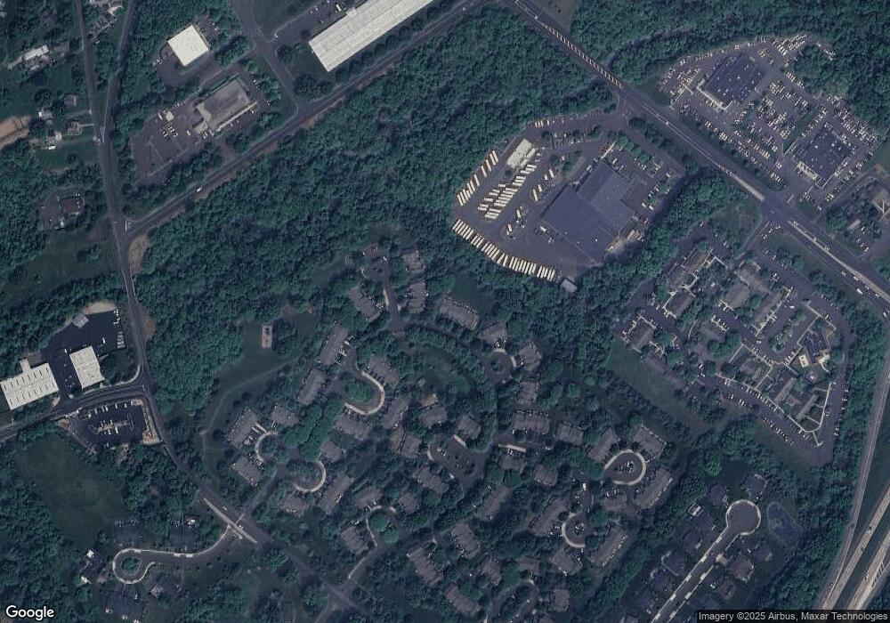
Map
Nearby Homes
- 100 Bishops Gate Ln Unit 67
- 114 Blackfriars Cir
- 194 Victoria Ct Unit 143
- 301 Windy Run Rd
- 3600 Jacob Stout Rd Unit 3
- 3723 William Daves Rd
- 3765 William Daves Rd
- 3711 Jacob Stout Rd Unit 5
- 4748 Bishop Cir
- 3838 Jacob Stout Rd
- 90 Chapman Ave
- 418 North St
- 3923 Ferry Rd
- 1 Gatehouse Ln
- 4 Old Colonial Dr Unit 254
- 333 Dorset Ct Unit 333
- 169 N Main St
- 146 N Church St
- 3867 Charter Club Dr
- 121 Cottage St
- 82 Trafalgar Rd Unit 49
- 80 Trafalgar Rd Unit 47
- 83 Trafalgar Rd Unit 50
- 78 Charing Cross Rd
- 78 Charing Cross Rd Unit 46
- 77 Charing Cross Rd Unit 45
- 76 Charing Cross Rd Unit 44
- 86 Trafalgar Rd
- 75 Charing Cross Rd Unit 43
- 74 Charing Cross Rd
- 73 Charing Cross Rd Unit 40
- 87 Abbey Cir
- 87 Abbey Cir Unit 54
- 72 Charing Cross Rd
- 88 Abbey Cir Unit 55
- 89 Abbey Cir Unit 56
- 71 Charing Cross Rd Unit 38
- 90 Abbey Cir
- 70 Charing Cross Rd
- 63 Charing Cross Rd Unit 30