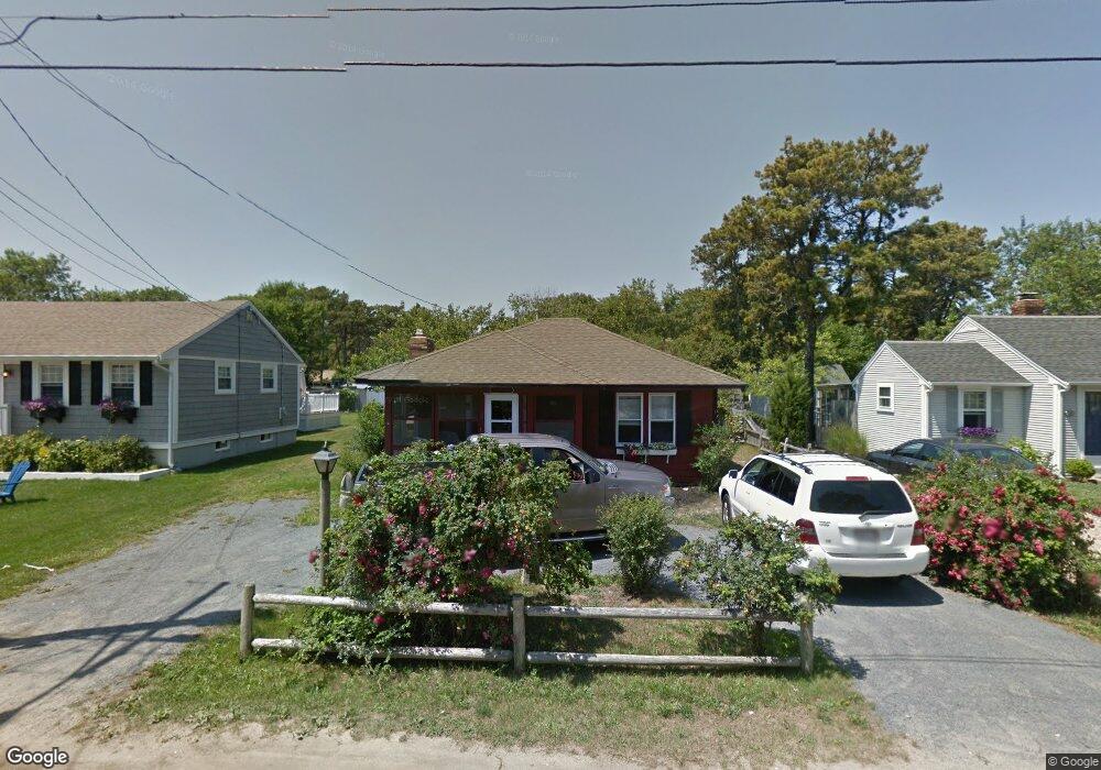
81 Uncle Rolf Rd Dennis Port, MA 02639
Dennis Port NeighborhoodEstimated Value: $546,000 - $600,000
3
Beds
1
Bath
600
Sq Ft
$960/Sq Ft
Est. Value
About This Home
This home is located at 81 Uncle Rolf Rd, Dennis Port, MA 02639 and is currently estimated at $575,740, approximately $959 per square foot. 81 Uncle Rolf Rd is a home located in Barnstable County with nearby schools including Dennis-Yarmouth Regional High School and St. Pius X. School.
Ownership History
Date
Name
Owned For
Owner Type
Purchase Details
Closed on
May 26, 2011
Sold by
Delmonico Derek
Bought by
Delmonico Derek J and Delmonico Tracey J
Current Estimated Value
Purchase Details
Closed on
Mar 25, 2005
Sold by
Prothro Barby H
Bought by
Delmonico Derek
Home Financials for this Owner
Home Financials are based on the most recent Mortgage that was taken out on this home.
Original Mortgage
$306,800
Interest Rate
5.56%
Mortgage Type
Purchase Money Mortgage
Purchase Details
Closed on
Jun 18, 2003
Sold by
James Judith E
Bought by
Prothro Barby H
Home Financials for this Owner
Home Financials are based on the most recent Mortgage that was taken out on this home.
Original Mortgage
$216,000
Interest Rate
5.71%
Mortgage Type
Purchase Money Mortgage
Create a Home Valuation Report for This Property
The Home Valuation Report is an in-depth analysis detailing your home's value as well as a comparison with similar homes in the area
Home Values in the Area
Average Home Value in this Area
Purchase History
| Date | Buyer | Sale Price | Title Company |
|---|---|---|---|
| Delmonico Derek J | -- | -- | |
| Delmonico Derek | $323,000 | -- | |
| Prothro Barby H | $270,000 | -- |
Source: Public Records
Mortgage History
| Date | Status | Borrower | Loan Amount |
|---|---|---|---|
| Previous Owner | Delmonico Derek | $306,800 | |
| Previous Owner | Prothro Barby H | $216,000 |
Source: Public Records
Tax History Compared to Growth
Tax History
| Year | Tax Paid | Tax Assessment Tax Assessment Total Assessment is a certain percentage of the fair market value that is determined by local assessors to be the total taxable value of land and additions on the property. | Land | Improvement |
|---|---|---|---|---|
| 2025 | $2,200 | $508,100 | $279,000 | $229,100 |
| 2024 | $2,037 | $464,100 | $268,300 | $195,800 |
| 2023 | $1,972 | $422,200 | $243,900 | $178,300 |
| 2022 | $1,811 | $323,400 | $192,200 | $131,200 |
| 2021 | $3,155 | $294,400 | $188,400 | $106,000 |
| 2020 | $1,736 | $284,600 | $188,400 | $96,200 |
| 2019 | $2,728 | $286,200 | $200,600 | $85,600 |
| 2018 | $2,684 | $268,000 | $191,000 | $77,000 |
| 2017 | $1,540 | $250,400 | $175,900 | $74,500 |
| 2016 | $1,495 | $229,000 | $165,800 | $63,200 |
| 2015 | $1,466 | $229,000 | $165,800 | $63,200 |
| 2014 | $1,391 | $219,000 | $155,800 | $63,200 |
Source: Public Records
Map
Nearby Homes
- 112 Old Wharf Rd Unit E4
- 112 Old Wharf Rd Unit E1
- 64 Beaten Rd
- 120 Old Wharf Rd Unit 11
- 154 Old Wharf Rd Unit 26
- 154 Old Wharf Rd Unit 14
- 37 Ocean Dr Unit 2
- 217 Old Wharf Rd Unit 64
- 241 Old Wharf Rd Unit 82
- 241 Old Wharf Rd Unit 127
- 241 Old Wharf Rd Unit 90
- 262 Old Wharf Rd Unit 67
- 262 Old Wharf Rd Unit 5
- 262 Old Wharf Rd Unit 5
- 262 Old Wharf Rd Unit 20
- 262 Old Wharf Rd Unit 87
- 37 Beach Hills Rd
- 37-A Beach Hills Rd
- 80 Michaels Ave
- 31 Easy St
- 83 Uncle Rolf Rd
- 79 Uncle Rolf Rd
- 85 Uncle Rolf Rd
- 75 Uncle Rolf Rd
- 84 Uncle Rolf Rd
- 80 Bain Rd
- 80 Uncle Rolf Rd
- 84 Bain Rd
- 87 Uncle Rolf Rd
- 78 Bain Rd
- 88 Uncle Rolf Rd
- 73 Uncle Rolf Rd
- 89,89A Uncle Rolf
- 89 Uncle Rolf Rd
- 78 Uncle Rolf Rd
- 91 Uncle Rolf Rd
- 74 Bain Rd
- 197 Captain Chase Rd
- 90 Uncle Rolf Rd
- 88 Bain Rd