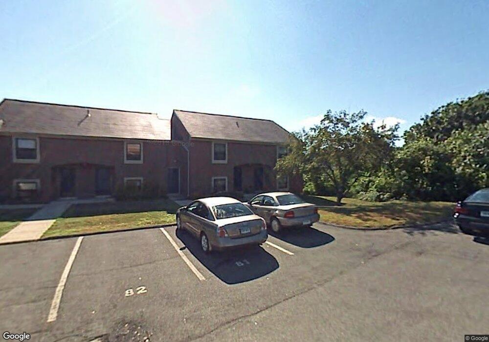
81 Victoria St Windsor, CT 06095
Estimated Value: $172,359 - $322,000
2
Beds
2
Baths
1,071
Sq Ft
$209/Sq Ft
Est. Value
About This Home
This home is located at 81 Victoria St, Windsor, CT 06095 and is currently estimated at $223,590, approximately $208 per square foot. 81 Victoria St is a home located in Hartford County with nearby schools including Oliver Ellsworth School, John F. Kennedy School, and Sage Park Middle School.
Ownership History
Date
Name
Owned For
Owner Type
Purchase Details
Closed on
Mar 22, 2023
Sold by
Teg Rivers Bend Llc and Teg Rivers Bend Tet Llc
Bought by
Rb Condos Llc and Teg Rivers Bend Llc
Current Estimated Value
Home Financials for this Owner
Home Financials are based on the most recent Mortgage that was taken out on this home.
Original Mortgage
$61,000,000
Outstanding Balance
$59,194,038
Interest Rate
6.65%
Mortgage Type
Stand Alone Refi Refinance Of Original Loan
Estimated Equity
-$58,970,448
Purchase Details
Closed on
Feb 26, 2019
Sold by
Rivers Bend Acquisition
Bought by
Teg Rivers Bend Llc and Teg Rivers Bend Tet Llc
Create a Home Valuation Report for This Property
The Home Valuation Report is an in-depth analysis detailing your home's value as well as a comparison with similar homes in the area
Home Values in the Area
Average Home Value in this Area
Purchase History
We collect this data history from publicly available records. To have your information removed, we recommend requesting removal directly through your county’s website.
| Date | Buyer | Sale Price | Title Company |
|---|---|---|---|
| Rb Condos Llc | -- | None Available | |
| Teg Rivers Bend Llc | $47,200,000 | -- |
Source: Public Records
Mortgage History
We collect this data history from publicly available records. To have your information removed, we recommend requesting removal directly through your county’s website.
| Date | Status | Borrower | Loan Amount |
|---|---|---|---|
| Open | Rb Condos Llc | $61,000,000 |
Source: Public Records
Tax History
| Year | Tax Paid | Tax Assessment Tax Assessment Total Assessment is a certain percentage of the fair market value that is determined by local assessors to be the total taxable value of land and additions on the property. | Land | Improvement |
|---|---|---|---|---|
| 2025 | $2,918 | $102,550 | $0 | $102,550 |
| 2024 | $3,109 | $102,550 | $0 | $102,550 |
| 2023 | $2,715 | $80,802 | $0 | $80,802 |
| 2022 | $2,688 | $80,802 | $0 | $80,802 |
| 2021 | $2,688 | $80,802 | $0 | $80,802 |
| 2020 | $2,846 | $85,960 | $0 | $85,960 |
| 2019 | $2,783 | $85,960 | $0 | $85,960 |
| 2018 | $1,624 | $49,280 | $0 | $49,280 |
| 2017 | $1,599 | $49,280 | $0 | $49,280 |
| 2016 | $1,553 | $49,280 | $0 | $49,280 |
| 2015 | $1,524 | $49,280 | $0 | $49,280 |
| 2014 | $1,502 | $49,280 | $0 | $49,280 |
Source: Public Records
Map
Nearby Homes
- 9 Jay Cir
- 269 Poquonock Ave
- 37 Pilgrim Dr
- 36 Pilgrim Dr
- 490 Old Day Hill Rd
- 371 Dunfey Ln
- 65 Winthrop Rd
- 8 Whitward Place
- 268 High Path Rd Unit 268
- 85 Winthrop Rd
- 40 Prospect St
- 16 Brown Ave
- 1221 Poquonock Ave
- 914 High Path Rd
- 158 High Path Rd
- 943 High Path Rd Unit 943
- 4 Winthrop Rd
- 625 Palisado Ave Unit 219
- 66 Maple Ave
- 246 Kenswick Ln Unit 246
- 152 Conestoga St
- 151 Conestoga St
- 150 Conestoga St
- 149 Conestoga St
- 148 Conestoga St
- 153 Conestoga St
- 147 Conestoga St
- 154 Conestoga St
- 91 Victoria St
- 91 Victoria St Unit 91
- 92 Victoria St
- 146 Conestoga St
- 93 Victoria St
- 90 Victoria St
- 155 Conestoga St
- 145 Conestoga St
- 94 Victoria St
- 89 Victoria St
- 144 Conestoga St
- 156 Conestoga St
Your Personal Tour Guide
Ask me questions while you tour the home.