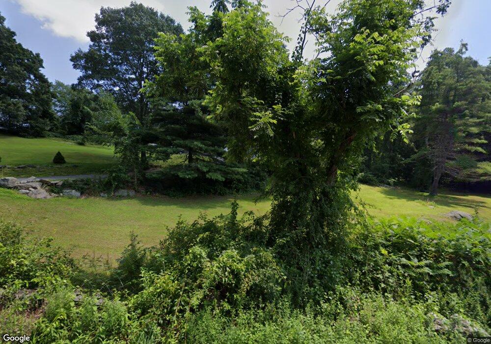
81 Walnut St Berlin, MA 01503
Estimated Value: $941,537 - $1,229,000
4
Beds
5
Baths
3,038
Sq Ft
$341/Sq Ft
Est. Value
About This Home
This home is located at 81 Walnut St, Berlin, MA 01503 and is currently estimated at $1,037,134, approximately $341 per square foot. 81 Walnut St is a home located in Worcester County with nearby schools including Tahanto Regional High School, First Steps Children's Center, and Darnell School For Educational & Behavioral Service.
Ownership History
Date
Name
Owned For
Owner Type
Purchase Details
Closed on
Sep 24, 2019
Sold by
Phipps John D and Phipps Lisa M
Bought by
Monahan Joseph G and Monahan Lias A
Current Estimated Value
Home Financials for this Owner
Home Financials are based on the most recent Mortgage that was taken out on this home.
Original Mortgage
$375,000
Outstanding Balance
$324,894
Interest Rate
3.4%
Mortgage Type
New Conventional
Estimated Equity
$712,240
Create a Home Valuation Report for This Property
The Home Valuation Report is an in-depth analysis detailing your home's value as well as a comparison with similar homes in the area
Home Values in the Area
Average Home Value in this Area
Purchase History
| Date | Buyer | Sale Price | Title Company |
|---|---|---|---|
| Monahan Joseph G | $625,000 | -- |
Source: Public Records
Mortgage History
| Date | Status | Borrower | Loan Amount |
|---|---|---|---|
| Open | Monahan Joseph G | $375,000 |
Source: Public Records
Tax History Compared to Growth
Tax History
| Year | Tax Paid | Tax Assessment Tax Assessment Total Assessment is a certain percentage of the fair market value that is determined by local assessors to be the total taxable value of land and additions on the property. | Land | Improvement |
|---|---|---|---|---|
| 2025 | $119 | $839,500 | $267,400 | $572,100 |
| 2024 | $10,704 | $839,500 | $267,400 | $572,100 |
| 2023 | $10,294 | $743,800 | $232,100 | $511,700 |
| 2022 | $9,578 | $612,800 | $193,700 | $419,100 |
| 2021 | $9,593 | $615,700 | $184,100 | $431,600 |
| 2020 | $8,809 | $557,900 | $170,500 | $387,400 |
| 2019 | $7,904 | $525,500 | $170,500 | $355,000 |
| 2018 | $7,509 | $514,300 | $159,300 | $355,000 |
| 2017 | $8,440 | $532,500 | $159,300 | $373,200 |
| 2016 | $7,632 | $480,600 | $144,900 | $335,700 |
| 2015 | $7,374 | $458,300 | $137,700 | $320,600 |
| 2014 | $7,523 | $451,300 | $137,700 | $313,600 |
Source: Public Records
Map
Nearby Homes
- 56 Carter St
- 146 Randall Rd
- 104 Randall Rd
- 118 Randall Rd
- 339 Old Central St
- 315 Central St
- 244 Crosby Rd
- 25 Collins Rd
- 25 Old Stone Cir
- 343 Newton St
- 3 Highland Park Ave
- 167 Lancaster Rd
- 449 Berlin St
- 18 Alden Dr Unit 3
- 3 Gerry Dr Unit 15
- 168 River Rd E Unit Lot 15A
- 168 River Rd E Unit Lot 5
- 168 River Rd E Unit Lot 3
- 168 River Rd E Unit Lot 11
- 168 River Rd E Unit Lot 2
- 65 Walnut St
- 83 Walnut St
- 64 Walnut St
- 104 Walnut St
- OFF West St
- Lot 1 & 2 Boylston Rd
- Lot 2B Randall Rd
- Lot 14A Central St
- 136 Central St
- Lot - B River Rd
- 0 W Street "Lot 3" Unit 70661059
- 128 Central St
- 122 Walnut St
- 127 Central St
- 144 Central St
- 144 Central St Unit 2
- 102 Central St
- 96 Central St
- 72 Central St
- 39 Walnut St
