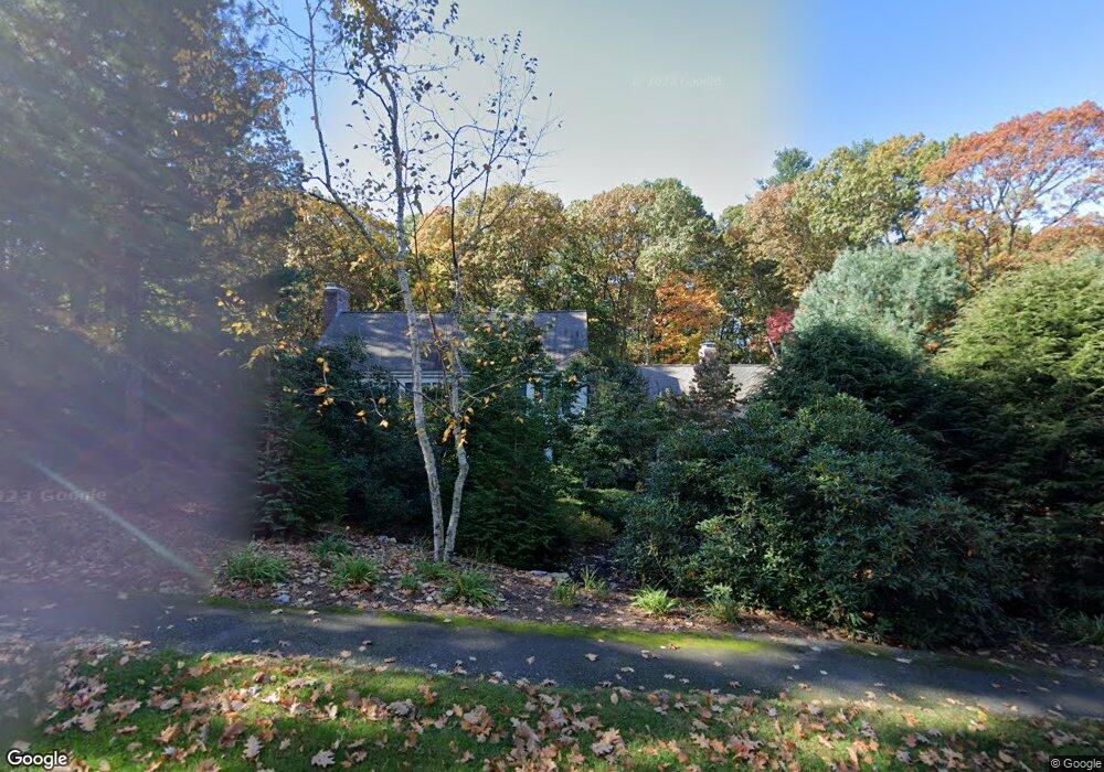
81 Westerly Rd Weston, MA 02493
Estimated Value: $2,751,315 - $3,219,000
5
Beds
4
Baths
4,655
Sq Ft
$644/Sq Ft
Est. Value
About This Home
This home is located at 81 Westerly Rd, Weston, MA 02493 and is currently estimated at $3,000,105, approximately $644 per square foot. 81 Westerly Rd is a home located in Middlesex County with nearby schools including Country Elementary School, Woodland Elementary School, and Field Elementary School.
Ownership History
Date
Name
Owned For
Owner Type
Purchase Details
Closed on
May 1, 1995
Sold by
Phildius Peter P and Phildius Marlene D
Bought by
Slotpole Robert S and Slotpole Deborah L
Current Estimated Value
Create a Home Valuation Report for This Property
The Home Valuation Report is an in-depth analysis detailing your home's value as well as a comparison with similar homes in the area
Home Values in the Area
Average Home Value in this Area
Purchase History
| Date | Buyer | Sale Price | Title Company |
|---|---|---|---|
| Slotpole Robert S | $1,050,000 | -- |
Source: Public Records
Mortgage History
| Date | Status | Borrower | Loan Amount |
|---|---|---|---|
| Previous Owner | Slotpole Robert S | $650,000 | |
| Previous Owner | Slotpole Robert S | $504,000 |
Source: Public Records
Tax History
| Year | Tax Paid | Tax Assessment Tax Assessment Total Assessment is a certain percentage of the fair market value that is determined by local assessors to be the total taxable value of land and additions on the property. | Land | Improvement |
|---|---|---|---|---|
| 2025 | $25,548 | $2,301,600 | $1,156,100 | $1,145,500 |
| 2024 | $25,023 | $2,250,300 | $1,156,100 | $1,094,200 |
| 2023 | $25,167 | $2,125,600 | $1,156,100 | $969,500 |
| 2022 | $25,369 | $1,980,400 | $1,105,800 | $874,600 |
| 2021 | $24,452 | $1,883,800 | $1,050,600 | $833,200 |
| 2020 | $23,456 | $1,828,200 | $1,050,600 | $777,600 |
| 2019 | $22,957 | $1,823,400 | $1,050,600 | $772,800 |
| 2018 | $22,948 | $1,834,400 | $1,050,600 | $783,800 |
| 2017 | $22,692 | $1,830,000 | $1,050,600 | $779,400 |
| 2016 | $22,388 | $1,841,100 | $1,050,600 | $790,500 |
| 2015 | $21,720 | $1,768,700 | $1,000,800 | $767,900 |
Source: Public Records
Map
Nearby Homes
- 10 Audubon Rd
- 23 Covered Bridge Ln
- 21 Westerly Rd
- 9 Sanderson Ln
- 253 Highland St
- 180 Highland St
- 19 Old Connecticut Path
- 4 Essex
- 1605 Wisteria Way
- 286 Country Dr
- 823 Boston Post Rd
- 13 Rich Valley Rd
- 1 Pine Summit Cir
- 16 Coltsway Unit 16CW
- 6 Steepletree Ln
- 741 Boston Post Rd
- 12 Cutting Cross Way
- 156 Boston Post Rd
- 620 South Ave
- 5 Pickwick Way
- 77 Westerly Rd
- 85 Westerly Rd
- 84 Westerly Rd
- 142 Buckskin Dr
- 142 Buckskin Dr
- 142 Buckskin Dr
- 138 Buckskin Dr
- 138 Buckskin Dr
- 90 Westerly Rd
- 91 Westerly Rd
- 73 Westerly Rd
- 74 Westerly Rd
- 134 Buckskin Dr
- 134 Buckskin Dr
- 148 Buckskin Dr
- 126 Buckskin Dr
- 4 Audubon Rd
- 3 Audubon Rd
- 85 Nobscot Rd
- 146 Buckskin Dr
Your Personal Tour Guide
Ask me questions while you tour the home.