Estimated Value: $451,000 - $511,000
3
Beds
3
Baths
2,721
Sq Ft
$177/Sq Ft
Est. Value
About This Home
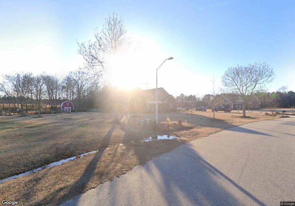
This home is located at 81 White Tail Path Unit 12, Erwin, NC 28339 and is currently estimated at $480,528, approximately $176 per square foot. 81 White Tail Path Unit 12 is a home located in Harnett County with nearby schools including Buies Creek Elementary School, Harnett Central Middle School, and Harnett Central High School.
Ownership History
Date
Name
Owned For
Owner Type
Purchase Details
Closed on
Sep 30, 2011
Sold by
Carroll David B and Carroll Tiffany D
Bought by
Mitchell Kenneth Scott and Mitchell Elizabeth Magdalene
Current Estimated Value
Home Financials for this Owner
Home Financials are based on the most recent Mortgage that was taken out on this home.
Original Mortgage
$246,000
Outstanding Balance
$168,910
Interest Rate
4.24%
Mortgage Type
VA
Estimated Equity
$311,618
Purchase Details
Closed on
Dec 16, 2009
Sold by
Starner Catherine Y and Starner Darryl
Bought by
Carroll David B and Carroll Tiffany D
Home Financials for this Owner
Home Financials are based on the most recent Mortgage that was taken out on this home.
Original Mortgage
$31,500
Interest Rate
5.01%
Mortgage Type
Purchase Money Mortgage
Create a Home Valuation Report for This Property
The Home Valuation Report is an in-depth analysis detailing your home's value as well as a comparison with similar homes in the area
Home Values in the Area
Average Home Value in this Area
Purchase History
| Date | Buyer | Sale Price | Title Company |
|---|---|---|---|
| Mitchell Kenneth Scott | $246,000 | None Available | |
| Carroll David B | $35,000 | -- |
Source: Public Records
Mortgage History
| Date | Status | Borrower | Loan Amount |
|---|---|---|---|
| Open | Mitchell Kenneth Scott | $246,000 | |
| Previous Owner | Carroll David B | $31,500 |
Source: Public Records
Tax History
| Year | Tax Paid | Tax Assessment Tax Assessment Total Assessment is a certain percentage of the fair market value that is determined by local assessors to be the total taxable value of land and additions on the property. | Land | Improvement |
|---|---|---|---|---|
| 2025 | $2,391 | $330,195 | $0 | $0 |
| 2024 | $2,367 | $330,195 | $0 | $0 |
| 2023 | $2,367 | $330,195 | $0 | $0 |
| 2022 | $2,935 | $330,195 | $0 | $0 |
| 2021 | $2,935 | $335,290 | $0 | $0 |
| 2020 | $2,935 | $335,290 | $0 | $0 |
| 2019 | $2,920 | $335,290 | $0 | $0 |
| 2018 | $2,920 | $335,290 | $0 | $0 |
| 2017 | $2,920 | $335,290 | $0 | $0 |
| 2016 | $2,406 | $274,830 | $0 | $0 |
| 2015 | $2,406 | $274,830 | $0 | $0 |
| 2014 | $2,406 | $274,830 | $0 | $0 |
Source: Public Records
Map
Nearby Homes
- 140 Thorntons Creek Dr
- 79 Ramble Falls Ln
- 0 L N McKoy Unit 10138667
- 109 Hawks Croft Ct
- 0 Us 421 S Unit 10064168
- 2451 Brick Mill Rd
- 3237 Old Stage Rd S
- 1 Erwin Chapel Rd
- 128 Highland Dr
- 3431 Old Stage Rd S
- 71 Gillis Ct
- 3906 Old Stage Rd S
- 89 Vic McLeod Ct
- 2190 Keith Hills Rd
- 392 Monroe Ln
- 344 Braddock Dr
- 26 Strickland Ln
- 0 Old Stage Rd S Unit 10046621
- 45 Braddock Dr
- 13 Broward Ln
- 81 White Tail Path
- 101 White Tail Path
- Lot 7 White Tail Path
- 31 White Tail Path Unit 13
- 121 White Tail Path
- 32 White Tail Path
- 32 Deer Path Farm Dr
- 32 Deer Path Farm Dr Unit 7
- 30 Deer Path Farm Rd
- 30 Deer Path Farm Rd Unit 14
- 2 Deer Path Farms Rd
- O Deer Path Farms Rd
- Lot 2 Deer Path Farms Rd
- 188 Deer Path Farms Rd
- 30 Deer Path Farms Rd Unit 14
- 80 Deer Path Farm Rd
- 80 Deer Farms Path
- 278 Thorntons Creek Dr
- 130 Deer Path Farms Rd
- 255 Deer Path Farms Rd
