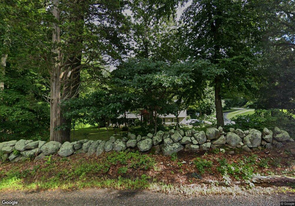
81 Williams Rd Oakdale, CT 06370
Estimated Value: $327,000 - $397,000
3
Beds
2
Baths
1,194
Sq Ft
$313/Sq Ft
Est. Value
About This Home
This home is located at 81 Williams Rd, Oakdale, CT 06370 and is currently estimated at $374,204, approximately $313 per square foot. 81 Williams Rd is a home located in New London County with nearby schools including Leonard J. Tyl Middle School and Montville High School.
Ownership History
Date
Name
Owned For
Owner Type
Purchase Details
Closed on
Jul 27, 2016
Sold by
Chelsey Hensel
Bought by
Rosen David
Current Estimated Value
Home Financials for this Owner
Home Financials are based on the most recent Mortgage that was taken out on this home.
Original Mortgage
$204,250
Outstanding Balance
$162,810
Interest Rate
3.45%
Estimated Equity
$211,394
Purchase Details
Closed on
Jan 27, 2011
Sold by
Cassell James
Bought by
Rosen David M and Elliott Chelsey A
Purchase Details
Closed on
Aug 16, 2010
Sold by
Us Bk
Bought by
Cassell James
Purchase Details
Closed on
Sep 10, 1990
Sold by
Hoegemann Lynn
Bought by
Whitaker James
Create a Home Valuation Report for This Property
The Home Valuation Report is an in-depth analysis detailing your home's value as well as a comparison with similar homes in the area
Home Values in the Area
Average Home Value in this Area
Purchase History
| Date | Buyer | Sale Price | Title Company |
|---|---|---|---|
| Rosen David | -- | -- | |
| Rosen David M | $231,000 | -- | |
| Rosen David M | $231,000 | -- | |
| Cassell James | $124,000 | -- | |
| Cassell James | $124,000 | -- | |
| Whitaker James | $145,000 | -- |
Source: Public Records
Mortgage History
| Date | Status | Borrower | Loan Amount |
|---|---|---|---|
| Open | Whitaker James | $204,250 | |
| Closed | Whitaker James | -- |
Source: Public Records
Tax History
| Year | Tax Paid | Tax Assessment Tax Assessment Total Assessment is a certain percentage of the fair market value that is determined by local assessors to be the total taxable value of land and additions on the property. | Land | Improvement |
|---|---|---|---|---|
| 2025 | $4,854 | $168,140 | $36,330 | $131,810 |
| 2024 | $4,669 | $168,140 | $36,330 | $131,810 |
| 2023 | $4,669 | $168,140 | $36,330 | $131,810 |
| 2022 | $4,491 | $168,140 | $36,330 | $131,810 |
| 2021 | $4,617 | $145,410 | $37,190 | $108,220 |
| 2020 | $4,708 | $145,410 | $37,190 | $108,220 |
| 2019 | $4,727 | $145,410 | $37,190 | $108,220 |
| 2018 | $4,614 | $145,410 | $37,200 | $108,210 |
| 2017 | $4,609 | $145,410 | $37,200 | $108,210 |
| 2016 | $4,251 | $138,880 | $44,640 | $94,240 |
| 2015 | $4,179 | $138,880 | $44,640 | $94,240 |
| 2014 | $4,079 | $138,880 | $44,640 | $94,240 |
Source: Public Records
Map
Nearby Homes
- 489 Chapel Hill Rd
- 33D Laurel Point Dr
- 33A Laurel Point Dr
- 901 Old Colchester Rd
- 1486 Route 163
- 406 Cherry Ln
- 394 Cherry Ln
- 111 Meeting House Ln
- 2 Syleo Ln
- 455 Chesterfield Rd
- 29 Church Rd
- 79 Cottonwood Ln
- 51 Beechwood Rd
- 8 Hickory Dr
- 2 Lorrie Anne Dr
- 82C Pires Dr
- 63 Velgouse Rd
- 115 Cottage Rd
- 52 Lake View Ave
- 527 Route 163
Your Personal Tour Guide
Ask me questions while you tour the home.