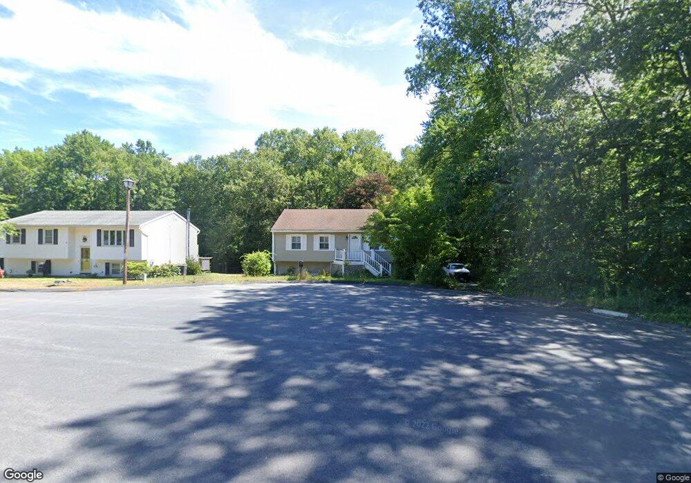
81 Winesap Run Torrington, CT 06790
Estimated Value: $247,000 - $291,000
3
Beds
1
Bath
936
Sq Ft
$291/Sq Ft
Est. Value
About This Home
This home is located at 81 Winesap Run, Torrington, CT 06790 and is currently estimated at $272,768, approximately $291 per square foot. 81 Winesap Run is a home located in Litchfield County with nearby schools including Torrington Middle School, Torrington High School, and St. John Paul the Great Academy.
Ownership History
Date
Name
Owned For
Owner Type
Purchase Details
Closed on
Apr 5, 2004
Sold by
Pulica John D
Bought by
Secor Jon J
Current Estimated Value
Home Financials for this Owner
Home Financials are based on the most recent Mortgage that was taken out on this home.
Original Mortgage
$143,800
Outstanding Balance
$67,198
Interest Rate
5.56%
Estimated Equity
$205,570
Purchase Details
Closed on
Mar 31, 1995
Sold by
Kirk Susan L
Bought by
Pulica John D and Pulica Lisa J
Home Financials for this Owner
Home Financials are based on the most recent Mortgage that was taken out on this home.
Original Mortgage
$103,900
Interest Rate
8.8%
Mortgage Type
Unknown
Create a Home Valuation Report for This Property
The Home Valuation Report is an in-depth analysis detailing your home's value as well as a comparison with similar homes in the area
Home Values in the Area
Average Home Value in this Area
Purchase History
| Date | Buyer | Sale Price | Title Company |
|---|---|---|---|
| Secor Jon J | $145,000 | -- | |
| Pulica John D | $104,000 | -- |
Source: Public Records
Mortgage History
| Date | Status | Borrower | Loan Amount |
|---|---|---|---|
| Open | Pulica John D | $39,000 | |
| Open | Pulica John D | $143,800 | |
| Previous Owner | Pulica John D | $103,900 |
Source: Public Records
Tax History Compared to Growth
Tax History
| Year | Tax Paid | Tax Assessment Tax Assessment Total Assessment is a certain percentage of the fair market value that is determined by local assessors to be the total taxable value of land and additions on the property. | Land | Improvement |
|---|---|---|---|---|
| 2025 | $6,061 | $157,640 | $35,490 | $122,150 |
| 2024 | $3,905 | $81,400 | $29,030 | $52,370 |
| 2023 | $3,904 | $81,400 | $29,030 | $52,370 |
| 2022 | $3,837 | $81,400 | $29,030 | $52,370 |
| 2021 | $3,758 | $81,400 | $29,030 | $52,370 |
| 2020 | $3,758 | $81,400 | $29,030 | $52,370 |
| 2019 | $3,827 | $82,900 | $32,260 | $50,640 |
| 2018 | $3,789 | $82,070 | $32,260 | $49,810 |
| 2017 | $3,755 | $82,070 | $32,260 | $49,810 |
| 2016 | $3,755 | $82,070 | $32,260 | $49,810 |
| 2015 | $3,755 | $82,070 | $32,260 | $49,810 |
| 2014 | $3,728 | $102,650 | $43,660 | $58,990 |
Source: Public Records
Map
Nearby Homes
- 361 Heights Dr
- 271 Heights Dr
- 5 Zappulla Dr
- 237 Wyoming Ave
- 136 Wyoming Ave
- 130 Oakbrook Ln
- 244 Hawthorne Terrace
- 206 Martha St
- 0 Peck Rd
- 0 Highland Ave Unit 24088105
- 152 Funston Ave
- 231 Beechwood Ave
- 77 Chestnut Ave
- 971 New Litchfield St
- 69 Johnson St
- 264 Allen Rd
- 75 Maple St
- 49 Chestnut Ave
- 229 Wimbledon Gate N
- 21 Roosevelt Ave