81 Wonnum Rd Culloden, GA 31016
Estimated Value: $214,000 - $283,121
2
Beds
2
Baths
1,948
Sq Ft
$120/Sq Ft
Est. Value
About This Home
This home is located at 81 Wonnum Rd, Culloden, GA 31016 and is currently estimated at $234,530, approximately $120 per square foot. 81 Wonnum Rd is a home located in Upson County with nearby schools including Upson-Lee South Elementary School, Upson-Lee North Elementary School, and Upson-Lee Middle School.
Ownership History
Date
Name
Owned For
Owner Type
Purchase Details
Closed on
Dec 3, 2020
Sold by
Wonnum Cynthia D
Bought by
Corbin Cynthia Wonnum and Corbin Tony
Current Estimated Value
Home Financials for this Owner
Home Financials are based on the most recent Mortgage that was taken out on this home.
Original Mortgage
$30,000
Outstanding Balance
$14,069
Interest Rate
2.7%
Mortgage Type
New Conventional
Estimated Equity
$220,461
Create a Home Valuation Report for This Property
The Home Valuation Report is an in-depth analysis detailing your home's value as well as a comparison with similar homes in the area
Purchase History
| Date | Buyer | Sale Price | Title Company |
|---|---|---|---|
| Corbin Cynthia Wonnum | -- | -- |
Source: Public Records
Mortgage History
| Date | Status | Borrower | Loan Amount |
|---|---|---|---|
| Open | Corbin Cynthia Wonnum | $30,000 |
Source: Public Records
Tax History
| Year | Tax Paid | Tax Assessment Tax Assessment Total Assessment is a certain percentage of the fair market value that is determined by local assessors to be the total taxable value of land and additions on the property. | Land | Improvement |
|---|---|---|---|---|
| 2025 | $2,419 | $100,252 | $8,439 | $91,813 |
| 2024 | $2,419 | $96,540 | $7,033 | $89,507 |
| 2023 | $2,404 | $91,091 | $7,033 | $84,058 |
| 2022 | $1,926 | $71,445 | $3,882 | $67,563 |
| 2021 | $1,448 | $56,971 | $3,882 | $53,089 |
| 2020 | $1,350 | $49,857 | $3,152 | $46,705 |
| 2019 | $1,357 | $46,286 | $3,152 | $43,134 |
| 2018 | $1,358 | $46,286 | $3,152 | $43,134 |
| 2017 | $1,335 | $41,704 | $3,152 | $38,552 |
| 2016 | $1,299 | $40,010 | $2,627 | $37,383 |
| 2015 | $1,300 | $40,010 | $2,627 | $37,383 |
| 2014 | $1,311 | $40,280 | $2,897 | $37,383 |
Source: Public Records
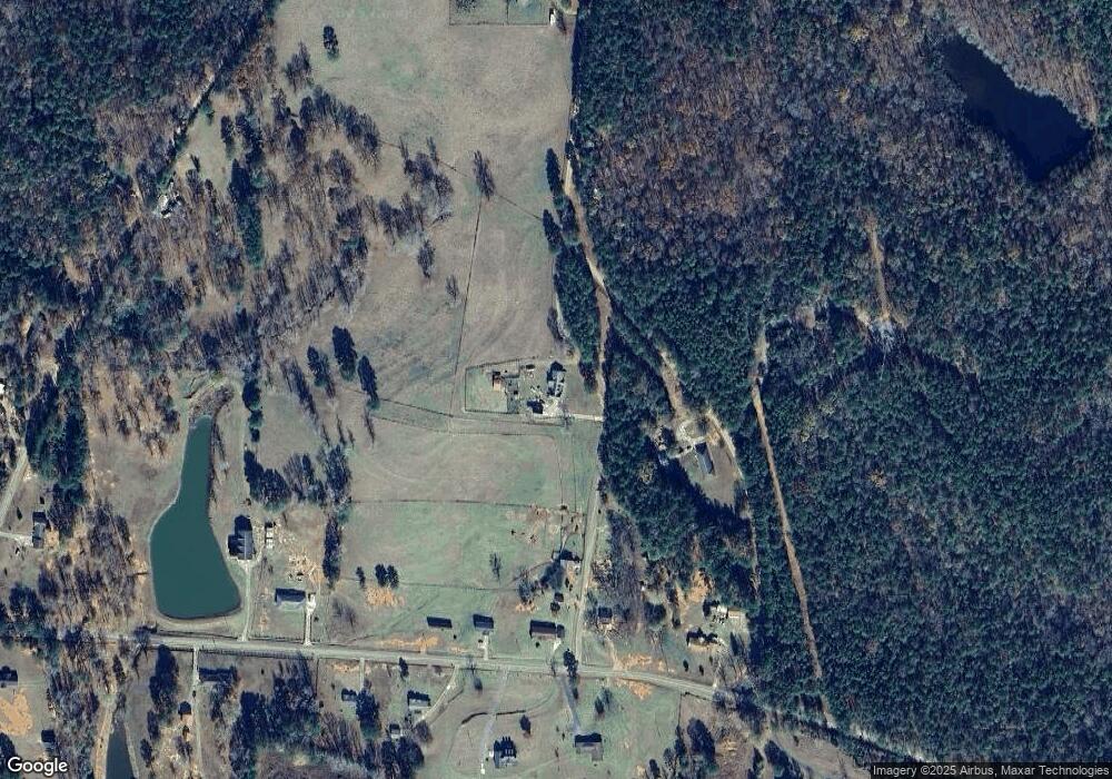
Map
Nearby Homes
- 1638 Old Minor Rd
- LOT 7.5 U S Highway 19
- LOT 8 U S Highway 19
- 0 Minor Rd Unit 10712241
- 0 Chatfield Rd Unit Track A, B & PB2/53
- Logtown Rd
- 9245 U S 80
- 0 Logtown Rd Unit 10700247
- 3595 Logtown Rd
- 0 Charlie Reeves Rd Unit 24268557
- 0 Charlie Reeves Rd Unit 24279256
- 0 Charlie Reeves Rd Unit 24268567
- 0 Charlie Reeves Rd Unit 21882758
- 0 Charlie Reeves Rd Unit 24279258
- 0 Charlie Reeves Rd Unit 24268563
- 0 Whitaker Rd Unit 260341
- 0 Whitaker Rd Unit 182756
- 0 Whitaker Rd Unit 10673006
- TBD E Old Wire Rd Unit 18
- TBD E Old Wire Rd Unit 12
Your Personal Tour Guide
Ask me questions while you tour the home.