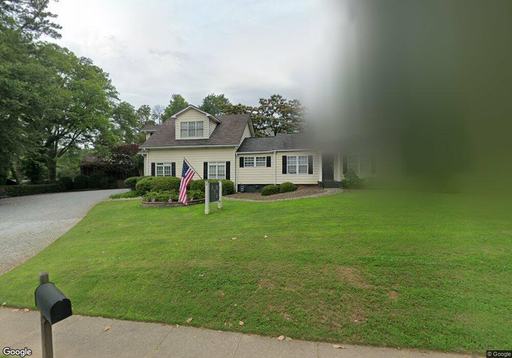
81 Woodstock Rd Roswell, GA 30075
Estimated Value: $743,000 - $937,000
2
Beds
2
Baths
2,694
Sq Ft
$310/Sq Ft
Est. Value
About This Home
This home is located at 81 Woodstock Rd, Roswell, GA 30075 and is currently estimated at $833,913, approximately $309 per square foot. 81 Woodstock Rd is a home located in Fulton County with nearby schools including Roswell North Elementary School, Crabapple Middle School, and Roswell High School.
Ownership History
Date
Name
Owned For
Owner Type
Purchase Details
Closed on
Aug 26, 2021
Sold by
Ruskin Theodore W
Bought by
Tr Investment Co Llc
Current Estimated Value
Purchase Details
Closed on
Sep 9, 2009
Sold by
Dvl Land Llc
Bought by
Ruskin Theodore W
Home Financials for this Owner
Home Financials are based on the most recent Mortgage that was taken out on this home.
Original Mortgage
$280,000
Interest Rate
5.01%
Mortgage Type
New Conventional
Purchase Details
Closed on
Jul 31, 2000
Sold by
Green Geraldine
Bought by
Devictor D J
Home Financials for this Owner
Home Financials are based on the most recent Mortgage that was taken out on this home.
Original Mortgage
$162,000
Interest Rate
8.12%
Mortgage Type
New Conventional
Purchase Details
Closed on
Apr 29, 1994
Sold by
Carter Beatrice D
Bought by
Green Geraldine
Create a Home Valuation Report for This Property
The Home Valuation Report is an in-depth analysis detailing your home's value as well as a comparison with similar homes in the area
Home Values in the Area
Average Home Value in this Area
Purchase History
| Date | Buyer | Sale Price | Title Company |
|---|---|---|---|
| Tr Investment Co Llc | -- | -- | |
| Ruskin Theodore W | $350,000 | -- | |
| Devictor D J | $180,000 | -- | |
| Green Geraldine | $62,500 | -- |
Source: Public Records
Mortgage History
| Date | Status | Borrower | Loan Amount |
|---|---|---|---|
| Previous Owner | Ruskin Theodore W | $280,000 | |
| Previous Owner | Devictor D J | $162,000 | |
| Closed | Green Geraldine | -- |
Source: Public Records
Tax History Compared to Growth
Tax History
| Year | Tax Paid | Tax Assessment Tax Assessment Total Assessment is a certain percentage of the fair market value that is determined by local assessors to be the total taxable value of land and additions on the property. | Land | Improvement |
|---|---|---|---|---|
| 2025 | $1,284 | $392,160 | $203,480 | $188,680 |
| 2023 | $5,470 | $193,800 | $32,600 | $161,200 |
| 2022 | $5,099 | $193,800 | $32,600 | $161,200 |
| 2021 | $5,993 | $188,160 | $31,640 | $156,520 |
| 2020 | $6,088 | $185,920 | $31,280 | $154,640 |
| 2019 | $905 | $182,640 | $30,720 | $151,920 |
| 2018 | $5,034 | $178,360 | $30,000 | $148,360 |
| 2017 | $3,817 | $130,840 | $42,480 | $88,360 |
| 2016 | $3,818 | $130,840 | $42,480 | $88,360 |
| 2015 | $4,548 | $130,840 | $42,480 | $88,360 |
| 2014 | $4,011 | $130,840 | $42,480 | $88,360 |
Source: Public Records
Map
Nearby Homes
- 79 Woodstock Rd
- 69 Fowler Ave
- 65 Fowler Ave
- 73 Woodstock Rd
- 86 Woodstock Rd
- 88 Woodstock Rd
- 84 Woodstock Rd
- 36 Fowler Ave
- 15 Fowler Ave
- 80 Fowler Ave
- 100 Fowler Ave
- 82 Woodstock Rd
- 1256 Coleman St
- 70 Fowler Ave
- 0 Fowler Ave Unit 7246734
- 0 Fowler Ave Unit 7029109
- 0 Fowler Ave Unit 8574875
- 0 Fowler Ave Unit 8645442
- 0 Fowler Ave Unit 7029101
- 1266 Coleman St