810 1st St Scotts Mills, OR 97375
Estimated Value: $634,000 - $766,482
1
Bed
1
Bath
3,676
Sq Ft
$190/Sq Ft
Est. Value
About This Home
This home is located at 810 1st St, Scotts Mills, OR 97375 and is currently estimated at $700,241, approximately $190 per square foot. 810 1st St is a home with nearby schools including Scotts Mills Elementary School and Silverton High School.
Ownership History
Date
Name
Owned For
Owner Type
Purchase Details
Closed on
Apr 28, 2025
Sold by
Bielenberg Ryan
Bought by
Bielenberg Living Trust and Bielenberg
Current Estimated Value
Purchase Details
Closed on
Oct 29, 2021
Sold by
Bielenberg Cheryl L
Bought by
Bielenberg Ryan and Bielenberg Crystal
Home Financials for this Owner
Home Financials are based on the most recent Mortgage that was taken out on this home.
Original Mortgage
$548,000
Interest Rate
2.8%
Mortgage Type
New Conventional
Purchase Details
Closed on
Oct 6, 2021
Sold by
Bielenberg Cheryl L
Bought by
Biclenberg Ryan and Biclenberg Crystal
Home Financials for this Owner
Home Financials are based on the most recent Mortgage that was taken out on this home.
Original Mortgage
$548,000
Interest Rate
2.8%
Mortgage Type
New Conventional
Create a Home Valuation Report for This Property
The Home Valuation Report is an in-depth analysis detailing your home's value as well as a comparison with similar homes in the area
Home Values in the Area
Average Home Value in this Area
Purchase History
| Date | Buyer | Sale Price | Title Company |
|---|---|---|---|
| Bielenberg Living Trust | -- | None Listed On Document | |
| Bielenberg Ryan | $685,000 | Amerititle | |
| Biclenberg Ryan | $685,000 | Amerititle |
Source: Public Records
Mortgage History
| Date | Status | Borrower | Loan Amount |
|---|---|---|---|
| Previous Owner | Bielenberg Ryan | $548,000 | |
| Previous Owner | Biclenberg Ryan | $548,000 |
Source: Public Records
Tax History Compared to Growth
Tax History
| Year | Tax Paid | Tax Assessment Tax Assessment Total Assessment is a certain percentage of the fair market value that is determined by local assessors to be the total taxable value of land and additions on the property. | Land | Improvement |
|---|---|---|---|---|
| 2025 | $4,506 | $354,860 | -- | -- |
| 2024 | $4,506 | $344,530 | -- | -- |
| 2023 | $4,391 | $334,500 | $0 | $0 |
| 2022 | $4,160 | $324,760 | $0 | $0 |
| 2021 | $4,047 | $315,310 | $0 | $0 |
| 2020 | $4,069 | $306,130 | $0 | $0 |
| 2019 | $3,702 | $287,530 | $0 | $0 |
| 2018 | $3,715 | $0 | $0 | $0 |
| 2017 | $4,038 | $0 | $0 | $0 |
| 2016 | $3,940 | $0 | $0 | $0 |
| 2015 | $3,756 | $0 | $0 | $0 |
| 2014 | $3,646 | $0 | $0 | $0 |
Source: Public Records
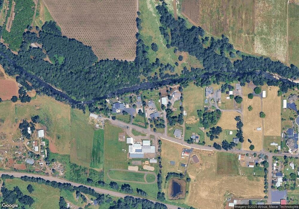
Map
Nearby Homes
- 551 6th St
- 0 Crooked Finger Rd NE Unit 827344
- 0 Crooked Finger Rd NE Unit 265826977
- Lot 1600 Crooked Finger Rd NE
- 000 Crooked Finger Rd NE
- 0 Off of Crooked Finge Rd
- 7138 Grandview Ave
- 7118 Grandview Ave
- 37486 S Highway 213 (Adj To)
- 37486 S Hwy 213 (Adj To)
- 37658 S Highway 213
- 0 Hazelnut Ridge Rd
- 0 Address Undisclosed NE Unit 834166
- 8438 Cascade Hwy NE
- 0 Peak View Unit Lots 24 & 46
- 17616 Abiqua Rd NE
- 17576 Abiqua Rd NE
- 6627 Mary Ln NE
- 36175 S Highway 213
- 5632 Mac Way NE