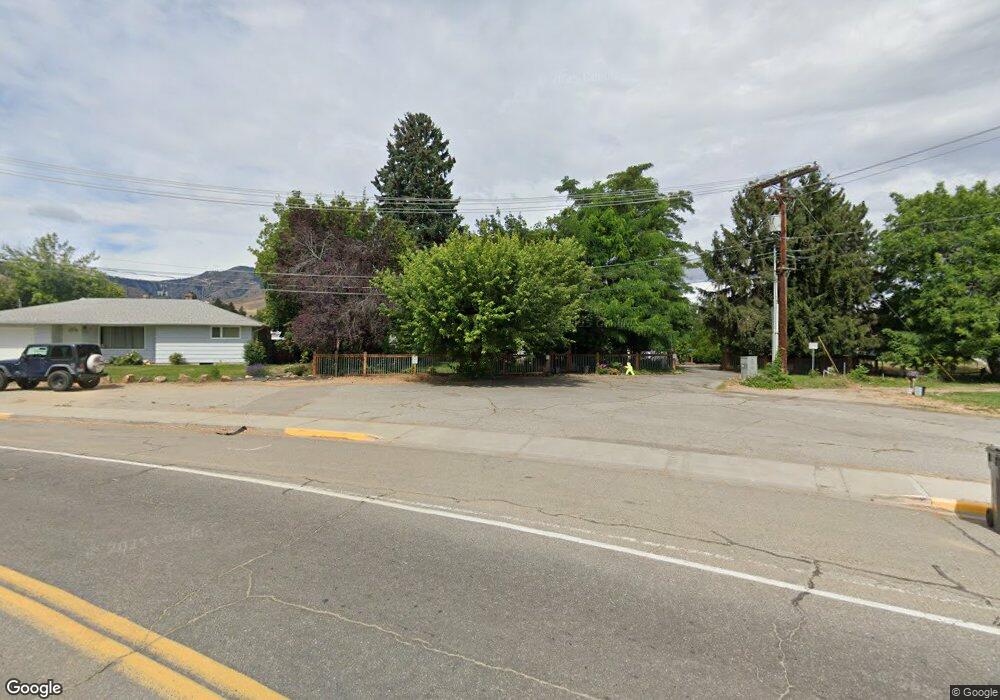
810 Elliott Ave N Wenatchee, WA 98801
Estimated Value: $580,000 - $748,000
5
Beds
2
Baths
2,127
Sq Ft
$299/Sq Ft
Est. Value
About This Home
This home is located at 810 Elliott Ave N, Wenatchee, WA 98801 and is currently estimated at $637,018, approximately $299 per square foot. 810 Elliott Ave N is a home located in Chelan County with nearby schools including Lewis & Clark Elementary School, Foothills Middle School, and Wenatchee High School.
Ownership History
Date
Name
Owned For
Owner Type
Purchase Details
Closed on
Jun 11, 2010
Sold by
King Donavon D and King Susan J
Bought by
Broome George L and Broome Sara L
Current Estimated Value
Home Financials for this Owner
Home Financials are based on the most recent Mortgage that was taken out on this home.
Original Mortgage
$212,000
Outstanding Balance
$142,501
Interest Rate
5.03%
Mortgage Type
New Conventional
Estimated Equity
$494,517
Purchase Details
Closed on
Mar 10, 2006
Sold by
Bratton Stanely B and Bratton Patricia D
Bought by
King Donavon D and King Susan J
Home Financials for this Owner
Home Financials are based on the most recent Mortgage that was taken out on this home.
Original Mortgage
$51,000
Interest Rate
6.19%
Mortgage Type
New Conventional
Create a Home Valuation Report for This Property
The Home Valuation Report is an in-depth analysis detailing your home's value as well as a comparison with similar homes in the area
Home Values in the Area
Average Home Value in this Area
Purchase History
| Date | Buyer | Sale Price | Title Company |
|---|---|---|---|
| Broome George L | $265,000 | First Amer Title Wenatchee | |
| King Donavon D | $239,900 | Transnation Title Insurance |
Source: Public Records
Mortgage History
| Date | Status | Borrower | Loan Amount |
|---|---|---|---|
| Open | Broome George L | $212,000 | |
| Previous Owner | King Donavon D | $51,000 |
Source: Public Records
Tax History Compared to Growth
Tax History
| Year | Tax Paid | Tax Assessment Tax Assessment Total Assessment is a certain percentage of the fair market value that is determined by local assessors to be the total taxable value of land and additions on the property. | Land | Improvement |
|---|---|---|---|---|
| 2021 | $3,710 | $366,382 | $106,200 | $260,182 |
| 2020 | $3,282 | $323,917 | $106,200 | $217,717 |
| 2019 | $3,249 | $306,451 | $106,200 | $200,251 |
| 2018 | $3,215 | $320,471 | $69,000 | $251,471 |
| 2017 | $3,016 | $259,466 | $78,966 | $180,500 |
| 2016 | $1,748 | $264,833 | $66,000 | $198,833 |
| 2015 | $1,748 | $253,100 | $60,000 | $193,100 |
| 2013 | $1,748 | $137,931 | $60,000 | $77,931 |
Source: Public Records
Map
Nearby Homes
- 1525 Westwood Ave
- 936 Vassar Ave
- 909 Meadow Ridge Dr Unit 37
- 1625 Pleasant Ave
- 1013 Amherst Ave
- 1628 Pleasant Ave
- 1030 Finch Ln Unit D2
- 1030 Finch Ln Unit A3
- 1030 Finch Ln Unit H1
- 914 Meadow Ridge Dr
- 1020 Harvard Ave
- 204 Pershing Cir
- 1311 Maple St Unit 18
- 1610 Twin Peaks Dr
- 1705 Twin Peaks Dr
- 1306 Glacier Place Unit 68
- 1701 Clark Dr Unit 66
- 2132 N Western Ave
- 9 Elliott Ave N
- 512 4th St