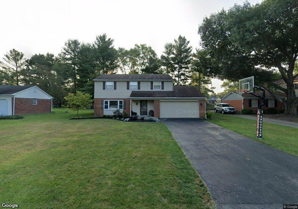
810 Kipp Dr Cincinnati, OH 45255
Estimated Value: $401,914 - $460,000
4
Beds
3
Baths
2,446
Sq Ft
$176/Sq Ft
Est. Value
About This Home
This home is located at 810 Kipp Dr, Cincinnati, OH 45255 and is currently estimated at $430,229, approximately $175 per square foot. 810 Kipp Dr is a home located in Hamilton County with nearby schools including Ayer Elementary School, Nagel Middle School, and Anderson High School.
Ownership History
Date
Name
Owned For
Owner Type
Purchase Details
Closed on
Dec 30, 2002
Sold by
Poe Kenneth B and Poe Ann Jo
Bought by
Dorko Andrew and Rhein Andrea
Current Estimated Value
Home Financials for this Owner
Home Financials are based on the most recent Mortgage that was taken out on this home.
Original Mortgage
$162,880
Interest Rate
6.23%
Create a Home Valuation Report for This Property
The Home Valuation Report is an in-depth analysis detailing your home's value as well as a comparison with similar homes in the area
Home Values in the Area
Average Home Value in this Area
Purchase History
| Date | Buyer | Sale Price | Title Company |
|---|---|---|---|
| Dorko Andrew | $203,600 | Technetitle Agency Inc |
Source: Public Records
Mortgage History
| Date | Status | Borrower | Loan Amount |
|---|---|---|---|
| Closed | Dorko Andrew | $162,880 |
Source: Public Records
Tax History
| Year | Tax Paid | Tax Assessment Tax Assessment Total Assessment is a certain percentage of the fair market value that is determined by local assessors to be the total taxable value of land and additions on the property. | Land | Improvement |
|---|---|---|---|---|
| 2025 | $6,893 | $110,219 | $17,780 | $92,439 |
| 2024 | $6,699 | $110,219 | $17,780 | $92,439 |
| 2023 | $6,372 | $110,219 | $17,780 | $92,439 |
| 2022 | $5,314 | $81,823 | $15,505 | $66,318 |
| 2021 | $5,188 | $81,823 | $15,505 | $66,318 |
| 2020 | $5,248 | $81,823 | $15,505 | $66,318 |
| 2019 | $5,115 | $72,408 | $13,720 | $58,688 |
| 2018 | $4,792 | $72,408 | $13,720 | $58,688 |
| 2017 | $4,519 | $72,408 | $13,720 | $58,688 |
| 2016 | $3,874 | $60,480 | $13,993 | $46,487 |
| 2015 | $3,761 | $60,480 | $13,993 | $46,487 |
| 2014 | $3,764 | $60,480 | $13,993 | $46,487 |
| 2013 | $3,491 | $59,297 | $13,720 | $45,577 |
Source: Public Records
Map
Nearby Homes
- 7988 Woodruff Rd
- 8016 Hignite Ct
- 7926 Causeway Ln
- 881 Asbury Rd
- 7978 Nagel Village Dr
- 7754 Forest Rd
- 792 Farmsworth Ct
- 1125 Wittshire Ln Unit 130
- 559 Asbury Rd
- 8372 Benton Ridge Ln
- 8303 Tidewater Ct
- 906 Woodlyn Dr N Unit 4
- 854 Woodlyn Dr S
- 965 Woodlyn Dr N
- 771 Woodlyn Dr S Unit 190
- 1357 Oak Ct
- 1363 Oak Ct
- 8345 Cherry Ln
- 8022 Stonegate Dr
- 1400 Sigma Cir
- 800 Kipp Dr
- 818 Kipp Dr
- 7949 Asbury Hills Dr
- 793 Ackley Rd
- 799 Ackley Rd
- 7929 Asbury Hills Dr
- 787 Ackley Rd
- 801 Kipp Dr
- 7971 Asbury Hills Dr
- 780 Kipp Dr
- 805 Ackley Rd
- 791 Kipp Dr
- 7987 Asbury Hills Dr
- 779 Ackley Rd
- 7919 Asbury Hills Dr
- 7940 Asbury Hills Dr
- 7950 Asbury Hills Dr
- 781 Kipp Dr
- 7930 Asbury Hills Dr
- 770 Kipp Dr
Your Personal Tour Guide
Ask me questions while you tour the home.