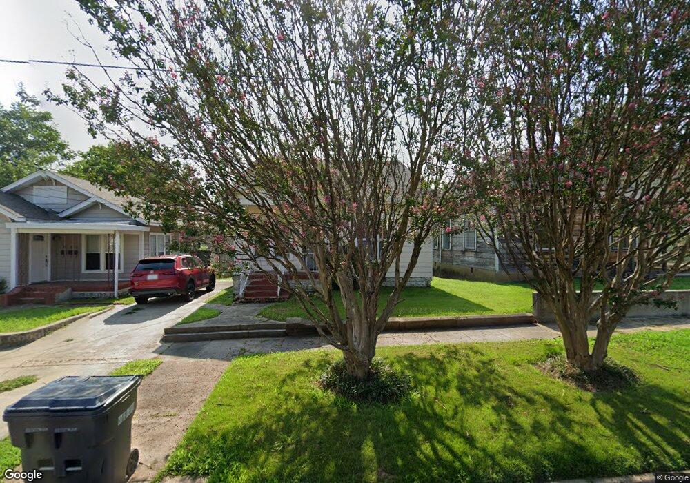
810 Parr St Jonesboro, AR 72401
Estimated Value: $154,313 - $226,000
--
Bed
2
Baths
1,978
Sq Ft
$98/Sq Ft
Est. Value
About This Home
This home is located at 810 Parr St, Jonesboro, AR 72401 and is currently estimated at $193,078, approximately $97 per square foot. 810 Parr St is a home located in Craighead County with nearby schools including Annie Camp Junior High School, The Academies at Jonesboro High School, and Montessori School of Jonesboro.
Ownership History
Date
Name
Owned For
Owner Type
Purchase Details
Closed on
Feb 27, 2006
Sold by
Stotts Linda
Bought by
Miller Brandi
Current Estimated Value
Home Financials for this Owner
Home Financials are based on the most recent Mortgage that was taken out on this home.
Original Mortgage
$123,068
Outstanding Balance
$68,665
Interest Rate
6.05%
Mortgage Type
FHA
Estimated Equity
$124,413
Purchase Details
Closed on
Mar 22, 1999
Bought by
Kemp
Purchase Details
Closed on
Aug 29, 1997
Bought by
Stotts
Create a Home Valuation Report for This Property
The Home Valuation Report is an in-depth analysis detailing your home's value as well as a comparison with similar homes in the area
Home Values in the Area
Average Home Value in this Area
Purchase History
| Date | Buyer | Sale Price | Title Company |
|---|---|---|---|
| Miller Brandi | $125,000 | None Available | |
| Kemp | $55,000 | -- | |
| Stotts | $37,000 | -- |
Source: Public Records
Mortgage History
| Date | Status | Borrower | Loan Amount |
|---|---|---|---|
| Open | Miller Brandi | $123,068 |
Source: Public Records
Tax History Compared to Growth
Tax History
| Year | Tax Paid | Tax Assessment Tax Assessment Total Assessment is a certain percentage of the fair market value that is determined by local assessors to be the total taxable value of land and additions on the property. | Land | Improvement |
|---|---|---|---|---|
| 2025 | $1,125 | $26,655 | $3,000 | $23,655 |
| 2024 | $1,125 | $26,655 | $3,000 | $23,655 |
| 2023 | $1,020 | $26,655 | $3,000 | $23,655 |
| 2022 | $935 | $26,655 | $3,000 | $23,655 |
| 2021 | $871 | $20,640 | $3,000 | $17,640 |
| 2020 | $871 | $20,640 | $3,000 | $17,640 |
| 2019 | $871 | $20,640 | $3,000 | $17,640 |
| 2018 | $871 | $20,640 | $3,000 | $17,640 |
| 2017 | $836 | $20,640 | $3,000 | $17,640 |
| 2016 | $760 | $18,000 | $2,000 | $16,000 |
| 2015 | $760 | $18,000 | $2,000 | $16,000 |
| 2014 | $760 | $18,000 | $2,000 | $16,000 |
Source: Public Records
Map
Nearby Homes
- 537 Warner Ave
- 1117 S Madison St
- 636 Warner Ave
- 507 Elm Ave
- 637 Warner Ave
- 410 W Monroe Ave
- 644 W Matthews Ave
- 515 Elm Ave
- 311 Madison St
- 801 S Culberhouse St
- 509 S Mcclure St
- 706 Warner Ave
- 1020 S Culberhouse St
- 311 S Main St
- 726 Warner Ave
- 1233 Flint St
- 720 W Matthews Ave
- 411 Krewson St
- 735 W Oak Ave
- 226 Union St
- 808 Parr St
- 0 Parr
- 812 Parr St
- 815 Madison St
- 313 W Matthews Ave
- 315 W Matthews Ave
- 311 W Matthews Ave
- 821 Madison St
- 807 Parr St
- 400 Warner Ave
- 401 W Matthews Ave
- 403 W Matthews Ave
- 404 Warner Ave
- 407 W Matthews Ave
- 408 Warner Ave
- 411 W Matthews Ave
- 412 Warner Ave
- 314 W Matthews Ave
- 315 Warner Ave
- 210 Warner Ave