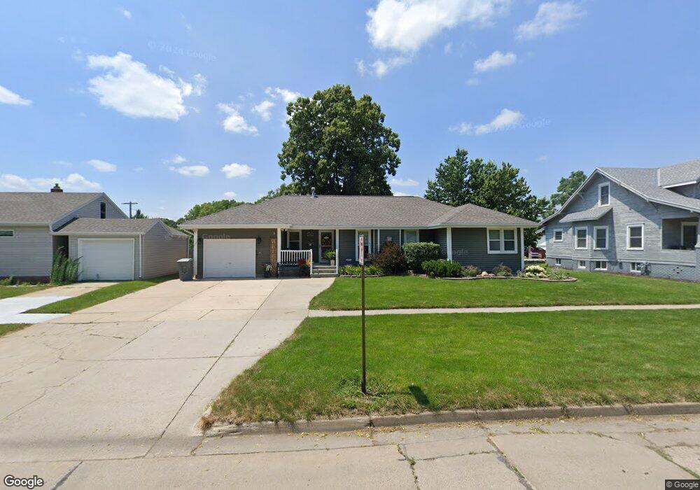
810 S 6th St Norfolk, NE 68701
Estimated Value: $245,334 - $297,000
3
Beds
3
Baths
1,628
Sq Ft
$165/Sq Ft
Est. Value
About This Home
This home is located at 810 S 6th St, Norfolk, NE 68701 and is currently estimated at $268,084, approximately $164 per square foot. 810 S 6th St is a home located in Madison County with nearby schools including Norfolk Senior High School, Christ Lutheran School, and Keystone Christian Academy.
Ownership History
Date
Name
Owned For
Owner Type
Purchase Details
Closed on
Mar 28, 2025
Sold by
Vesely Michael J and Vesely Debbie J
Bought by
Vesely Travis M and Vesely Michael J
Current Estimated Value
Purchase Details
Closed on
Feb 19, 2019
Sold by
Spittler Jay J and Spittler Gonise
Bought by
Houdek David L and Houdek Kaitlyn
Home Financials for this Owner
Home Financials are based on the most recent Mortgage that was taken out on this home.
Original Mortgage
$117,000
Interest Rate
4.4%
Mortgage Type
New Conventional
Create a Home Valuation Report for This Property
The Home Valuation Report is an in-depth analysis detailing your home's value as well as a comparison with similar homes in the area
Home Values in the Area
Average Home Value in this Area
Purchase History
| Date | Buyer | Sale Price | Title Company |
|---|---|---|---|
| Vesely Travis M | -- | None Listed On Document | |
| Houdek David L | $156,000 | Stewart Title Co |
Source: Public Records
Mortgage History
| Date | Status | Borrower | Loan Amount |
|---|---|---|---|
| Previous Owner | Houdek David L | $117,000 |
Source: Public Records
Tax History Compared to Growth
Tax History
| Year | Tax Paid | Tax Assessment Tax Assessment Total Assessment is a certain percentage of the fair market value that is determined by local assessors to be the total taxable value of land and additions on the property. | Land | Improvement |
|---|---|---|---|---|
| 2024 | $3,030 | $243,977 | $12,260 | $231,717 |
| 2023 | $4,157 | $224,844 | $12,260 | $212,584 |
| 2022 | $3,745 | $202,067 | $12,260 | $189,807 |
| 2021 | $3,448 | $186,395 | $12,260 | $174,135 |
| 2020 | $3,438 | $186,395 | $12,260 | $174,135 |
| 2019 | $3,314 | $173,496 | $12,260 | $161,236 |
| 2018 | $2,889 | $153,769 | $9,808 | $143,961 |
| 2017 | $2,602 | $138,345 | $9,808 | $128,537 |
| 2016 | $2,437 | $129,294 | $9,166 | $120,128 |
| 2015 | $2,437 | $129,294 | $9,166 | $120,128 |
| 2014 | $2,399 | $123,574 | $9,166 | $114,408 |
| 2013 | $2,326 | $116,089 | $9,166 | $106,923 |
Source: Public Records
Map
Nearby Homes
- 805 S 5th St
- 918 S 5th St
- 705 S 10th St
- 906 S 4th St
- 410 W Michigan Ave
- 602 S 10th St
- 603 S 4th St
- 922 S 2nd St
- 700 S 2nd St
- 706 Columbia St
- 1104 S 2nd St
- 404 S 12th St
- 809 S 1st St
- 3306 W Michigan Ave
- 3206 W Michigan Ave
- 3205 W Michigan Ave
- 3307 W Michigan Ave
- 1217 Hayes Ave
- 1303 S 3rd St
- 1208 W Phillip Ave