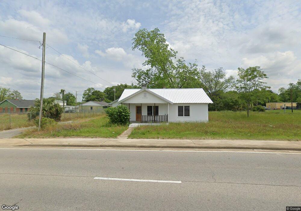
810 S Sherman St Fitzgerald, GA 31750
Estimated Value: $62,000 - $88,000
3
Beds
2
Baths
1,400
Sq Ft
$51/Sq Ft
Est. Value
About This Home
This home is located at 810 S Sherman St, Fitzgerald, GA 31750 and is currently estimated at $71,902, approximately $51 per square foot. 810 S Sherman St is a home located in Ben Hill County with nearby schools including Ben Hill County Primary School, Ben Hill Elementary School, and Ben Hill County Middle School.
Ownership History
Date
Name
Owned For
Owner Type
Purchase Details
Closed on
Aug 2, 2021
Sold by
Greenleaf Real Estate Holdings Llc
Bought by
Washington David D
Current Estimated Value
Purchase Details
Closed on
May 3, 2021
Sold by
Limon Melissa
Bought by
Greenleaf Real Estate Holdings Llc
Purchase Details
Closed on
Oct 7, 2011
Sold by
Meadows Betty Jean
Bought by
Limon Melissa
Purchase Details
Closed on
Apr 27, 2001
Sold by
Purvis Betty J
Bought by
Meadows Betty J
Purchase Details
Closed on
Aug 11, 1976
Bought by
Purvis Betty J
Create a Home Valuation Report for This Property
The Home Valuation Report is an in-depth analysis detailing your home's value as well as a comparison with similar homes in the area
Home Values in the Area
Average Home Value in this Area
Purchase History
| Date | Buyer | Sale Price | Title Company |
|---|---|---|---|
| Washington David D | -- | -- | |
| Greenleaf Real Estate Holdings Llc | $18,500 | -- | |
| Limon Melissa | $22,000 | -- | |
| Meadows Betty J | -- | -- | |
| Purvis Betty J | -- | -- |
Source: Public Records
Tax History Compared to Growth
Tax History
| Year | Tax Paid | Tax Assessment Tax Assessment Total Assessment is a certain percentage of the fair market value that is determined by local assessors to be the total taxable value of land and additions on the property. | Land | Improvement |
|---|---|---|---|---|
| 2024 | $514 | $12,056 | $2,420 | $9,636 |
| 2023 | $245 | $7,998 | $1,658 | $6,340 |
| 2022 | $245 | $8,382 | $1,658 | $6,724 |
| 2021 | $350 | $10,199 | $2,016 | $8,183 |
| 2020 | $280 | $8,064 | $2,016 | $6,048 |
| 2019 | $279 | $8,064 | $2,016 | $6,048 |
| 2018 | $350 | $8,115 | $2,016 | $6,099 |
| 2017 | $214 | $6,142 | $2,016 | $4,126 |
| 2016 | -- | $8,716 | $2,016 | $6,699 |
| 2015 | -- | $8,782 | $2,016 | $6,766 |
| 2014 | -- | $8,916 | $2,016 | $6,900 |
Source: Public Records
Map
Nearby Homes
- 407 E Lemon St
- 512 E Lemon St
- 515 S Grant St
- 510 S Main St
- 211 W Roanoke Dr
- 412 S Main St
- 409 S Main St
- 709 E Orange St
- 411 S Meade St
- 701 S Monitor Dr
- 210 W Jessamine St
- 0 E Magnolia St
- 325 S Lee St
- 309 S Lee St
- 225 SW Jessamine
- 815 E Jessamine St
- 112 Perry House Rd
- 319 W Magnolia St
- 106 Van Deman Dr
- 0 Union Cemetery Rd Unit 20524152
- 811 S Sherman St
- 301 E Lemon St
- 310 E Roanoke Dr
- 307 E Lemon St
- 314 E Roanoke Dr
- 803 S Sheridan St
- 808 S Grant St
- 308 E Lemon St
- 907 S Sheridan Street Extension
- 802 S Grant St
- 405 E Roanoke Dr
- 904 S Grant St
- 908 S Sheridan St
- 906 S Sheridan Street Extension
- 405 E Lemon St
- 708 S Sherman St
- 911 S Sheridan Street Extension
- 410 E Roanoke Dr
- 805 S Grant St
- 915 S Sheridan Street Extension