810 Sands Pond Rd Block Island, RI 02807
Estimated Value: $1,680,928
2
Beds
1
Bath
961
Sq Ft
$1,749/Sq Ft
Est. Value
About This Home
This home is located at 810 Sands Pond Rd, Block Island, RI 02807 and is currently estimated at $1,680,928, approximately $1,749 per square foot. 810 Sands Pond Rd is a home with nearby schools including Block Island School.
Ownership History
Date
Name
Owned For
Owner Type
Purchase Details
Closed on
May 13, 2022
Sold by
Donald R Schmidt Lt and Schmidt
Bought by
Rhode Island State Of
Current Estimated Value
Purchase Details
Closed on
Oct 5, 2015
Sold by
Schmidt Donald R and Schmidt Fay
Bought by
Schmidt Donald R
Purchase Details
Closed on
Dec 30, 2011
Sold by
Schmidt Donald
Bought by
Schmidt Donald and Schmidt Fay
Create a Home Valuation Report for This Property
The Home Valuation Report is an in-depth analysis detailing your home's value as well as a comparison with similar homes in the area
Home Values in the Area
Average Home Value in this Area
Purchase History
| Date | Buyer | Sale Price | Title Company |
|---|---|---|---|
| Rhode Island State Of | $1,325,000 | None Available | |
| Schmidt Donald R | -- | -- | |
| Schmidt Donald | -- | -- | |
| Schmidt Donald | -- | -- |
Source: Public Records
Tax History Compared to Growth
Tax History
| Year | Tax Paid | Tax Assessment Tax Assessment Total Assessment is a certain percentage of the fair market value that is determined by local assessors to be the total taxable value of land and additions on the property. | Land | Improvement |
|---|---|---|---|---|
| 2024 | $8,736 | $1,604,100 | $1,316,400 | $287,700 |
| 2023 | $8,736 | $1,604,100 | $1,316,400 | $287,700 |
| 2022 | $8,736 | $1,233,920 | $1,142,240 | $91,680 |
| 2021 | $8,267 | $1,233,920 | $1,142,240 | $91,680 |
| 2020 | $7,848 | $1,233,920 | $1,142,240 | $91,680 |
| 2019 | $7,601 | $1,233,920 | $1,142,240 | $91,680 |
| 2018 | $7,486 | $1,258,160 | $1,142,240 | $115,920 |
| 2017 | $7,373 | $1,258,160 | $1,142,240 | $115,920 |
| 2016 | $7,197 | $1,258,160 | $1,142,240 | $115,920 |
| 2015 | $8,690 | $1,577,200 | $1,427,800 | $149,400 |
| 2014 | $8,435 | $1,579,500 | $1,427,800 | $151,700 |
| 2013 | $8,229 | $1,579,500 | $1,427,800 | $151,700 |
Source: Public Records
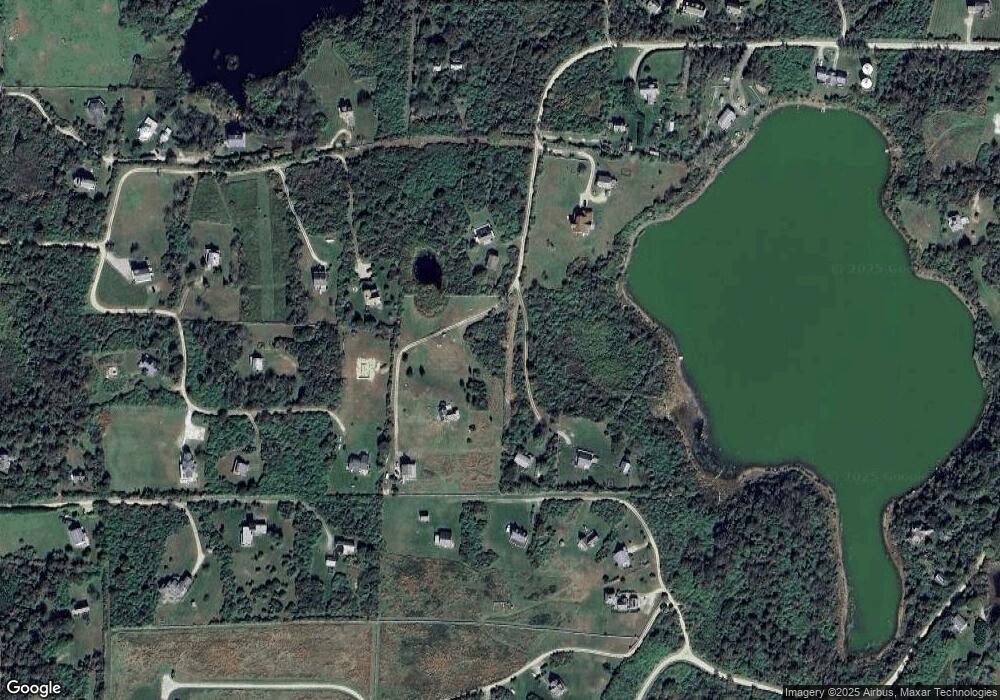
Map
Nearby Homes
- 804 Mohegan Trail
- 0 Pilot Hill Rd
- 1661 Sand Pond Rd
- 0 Mohegan Trail
- 1035 Mohegan Trail
- 1448 Mohegan Trail
- 194 Pilot Hill Rd
- 1087 Lakeside Dr
- 0 Snake Hole Rd
- 0 Spring St
- 1289 High St
- 0 Southeast Rd Unit 1381406
- 256 High St
- 481 Old Town Rd
- 1501 Beacon Hill Rd
- 1328 Cooneymus Rd
- 1596 W Side Rd
- 1557 W Side Rd
- 0 Coast Guard Rd
- 1743 Corn Neck Rd
- 1631 Pilot Hill Rd
- 430 Payne Rd
- 809 Sands Pond Rd
- 662 Ministers Lot Unit 2-5
- 810 Off Payne Rd
- 810 Payne Rd
- 811 Off Payne Rd
- 1626 Payne Rd
- 0 Sands Pond Rd Unit 1114320
- 0 Sands Pond Rd Unit 1180724
- 1808 Mohegan Trail
- 429 Payne Rd
- 801 Mohegan Trail
- 1045R Payne Rd
- 1004 Sands Pond Rd
- 975 Mohegan Trail
- 1660 Pilot Hill Rd
- 1455 Payne Rd
- 428 Sands Pond Rd
- 1634 Mohegan Trail