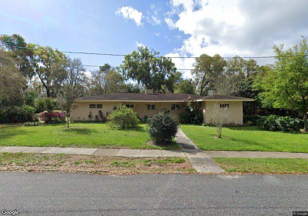
810 W Howry Ave Deland, FL 32720
Estimated Value: $248,000 - $303,918
2
Beds
2
Baths
1,932
Sq Ft
$149/Sq Ft
Est. Value
About This Home
This home is located at 810 W Howry Ave, Deland, FL 32720 and is currently estimated at $286,980, approximately $148 per square foot. 810 W Howry Ave is a home located in Volusia County with nearby schools including Edith I. Starke Elementary School, Deland High School, and Southwestern Middle School.
Ownership History
Date
Name
Owned For
Owner Type
Purchase Details
Closed on
Dec 30, 1994
Sold by
Bellflower Janice G
Bought by
Stewart Laura M
Current Estimated Value
Home Financials for this Owner
Home Financials are based on the most recent Mortgage that was taken out on this home.
Original Mortgage
$67,600
Interest Rate
9.26%
Mortgage Type
Purchase Money Mortgage
Purchase Details
Closed on
Jun 15, 1990
Bought by
Stewart Laura M
Purchase Details
Closed on
Jul 15, 1986
Bought by
Stewart Laura M
Create a Home Valuation Report for This Property
The Home Valuation Report is an in-depth analysis detailing your home's value as well as a comparison with similar homes in the area
Home Values in the Area
Average Home Value in this Area
Purchase History
| Date | Buyer | Sale Price | Title Company |
|---|---|---|---|
| Stewart Laura M | $84,500 | -- | |
| Stewart Laura M | $80,000 | -- | |
| Stewart Laura M | $100 | -- |
Source: Public Records
Mortgage History
| Date | Status | Borrower | Loan Amount |
|---|---|---|---|
| Closed | Stewart Laura M | $67,600 |
Source: Public Records
Tax History Compared to Growth
Tax History
| Year | Tax Paid | Tax Assessment Tax Assessment Total Assessment is a certain percentage of the fair market value that is determined by local assessors to be the total taxable value of land and additions on the property. | Land | Improvement |
|---|---|---|---|---|
| 2025 | $760 | $88,324 | -- | -- |
| 2024 | $760 | $85,835 | -- | -- |
| 2023 | $760 | $83,335 | $0 | $0 |
| 2022 | $727 | $80,908 | $0 | $0 |
| 2021 | $732 | $78,551 | $0 | $0 |
| 2020 | $714 | $77,466 | $0 | $0 |
| 2019 | $707 | $75,724 | $0 | $0 |
| 2018 | $715 | $74,312 | $0 | $0 |
| 2017 | $732 | $72,784 | $0 | $0 |
| 2016 | $720 | $71,287 | $0 | $0 |
| 2015 | $743 | $70,791 | $0 | $0 |
| 2014 | $755 | $70,229 | $0 | $0 |
Source: Public Records
Map
Nearby Homes
- 128 S Montgomery Ave
- 241 S Marydell Ave
- 247 S Marydell Ave
- W SR 44, New York Ave W
- 131 S Stone St
- 305 S Stone St
- 111 N Stone St
- 621 W Indiana Ave Unit 13
- 0 N Spring Garden Ave Unit MFRO6340602
- 0 N Spring Garden Ave Unit 1112700
- 0 N Spring Garden Ave Unit V4920996
- 817 W Euclid Ave
- 807 W Church St
- 134 S Julia Ave
- 624 W Euclid Ave
- 536 W Hubbard Ave
- 800 W Hubbard Ave
- 1141 W Euclid Ave
- 0 S Thompson St
- 632 W Hubbard Ave
- 208 S Elsasser St
- 814 W Howry Ave
- 210 S Elsasser St
- 806 W Howry Ave
- 809 W Howry Ave
- 225 S Boundary Ave
- 215 S Elsasser St
- 218 S Elsasser St
- 807 W Howry Ave
- 815 W Howry Ave
- 217 S Elsasser St
- 227 S Boundary Ave
- 228 S Boundary Ave
- 800 W Howry Ave
- 220 S Elsasser St
- 216 S High St
- 110 S Elsasser St
- 229 S Boundary Ave
- 803 W Howry Ave
- 219 S Elsasser St