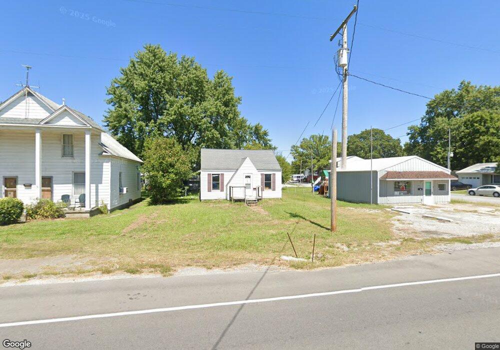
810 W Poplar St Harrisburg, IL 62946
Estimated Value: $42,000 - $136,000
--
Bed
--
Bath
--
Sq Ft
--
Built
About This Home
This home is located at 810 W Poplar St, Harrisburg, IL 62946 and is currently estimated at $71,053. 810 W Poplar St is a home located in Saline County with nearby schools including East Side Intermediate School, Harrisburg Middle School, and Harrisburg High School.
Ownership History
Date
Name
Owned For
Owner Type
Purchase Details
Closed on
Nov 1, 2015
Sold by
Cusic Warren Andrew
Bought by
Cusic Jonathan Cody
Current Estimated Value
Purchase Details
Closed on
Apr 27, 2005
Sold by
Cusic Warren A
Bought by
Cusic Warren A and Cusic Lisa A
Home Financials for this Owner
Home Financials are based on the most recent Mortgage that was taken out on this home.
Original Mortgage
$20,000
Interest Rate
5.68%
Mortgage Type
Credit Line Revolving
Create a Home Valuation Report for This Property
The Home Valuation Report is an in-depth analysis detailing your home's value as well as a comparison with similar homes in the area
Home Values in the Area
Average Home Value in this Area
Purchase History
| Date | Buyer | Sale Price | Title Company |
|---|---|---|---|
| Cusic Jonathan Cody | -- | None Available | |
| Cusic Warren A | -- | None Available |
Source: Public Records
Mortgage History
| Date | Status | Borrower | Loan Amount |
|---|---|---|---|
| Previous Owner | Cusic Warren A | $20,000 |
Source: Public Records
Tax History Compared to Growth
Tax History
| Year | Tax Paid | Tax Assessment Tax Assessment Total Assessment is a certain percentage of the fair market value that is determined by local assessors to be the total taxable value of land and additions on the property. | Land | Improvement |
|---|---|---|---|---|
| 2024 | $921 | $10,286 | $1,695 | $8,591 |
| 2023 | $861 | $8,719 | $1,437 | $7,282 |
| 2022 | $849 | $8,220 | $1,355 | $6,865 |
| 2021 | $879 | $8,474 | $1,397 | $7,077 |
| 2020 | $869 | $8,220 | $1,355 | $6,865 |
| 2019 | $885 | $8,220 | $1,355 | $6,865 |
| 2018 | $895 | $8,220 | $1,355 | $6,865 |
| 2017 | $881 | $8,220 | $1,355 | $6,865 |
| 2016 | $12 | $11,680 | $1,355 | $10,325 |
| 2015 | -- | $11,680 | $1,355 | $10,325 |
| 2014 | $539 | $11,680 | $1,355 | $10,325 |
| 2013 | $539 | $11,680 | $1,355 | $10,325 |
| 2012 | $539 | $11,680 | $1,355 | $10,325 |
Source: Public Records
Map
Nearby Homes
- 504 W South St
- 430 W Church St
- 205 S Shaw St
- 827 W Raymond St
- 305 W Church St
- 405 S Shaw St
- 216 W Poplar St
- 202 W Poplar St
- 305 W Lincoln St
- 210 W Lincoln St
- 500 W Sloan St
- 520 S Mckinley St
- 215 S Jackson St
- 206 W Homer Ave
- 618 S Mckinley St
- 614 W College St
- 111 W Midkiff St
- 0 Ron Crank Dr Unit EB441387
- 0000 S Commercial St
- 201 W Ogara St
- 800 W Poplar St
- 812 W Poplar St
- 728 W Poplar St
- 820 W Poplar St
- 815 W Poplar St
- 809 W Poplar St
- 827 W Poplar St
- 827 W Poplar St
- 700 W Poplar St
- 807 W Elm St
- 824 W Poplar St
- 823 W Poplar St
- 807 W Poplar St
- 720 W Poplar St
- 716 W Poplar St
- 6 S Capitol St
- 810 W Pine St
- 712 W Poplar St
- 711 W Poplar St
- 707 W Poplar St