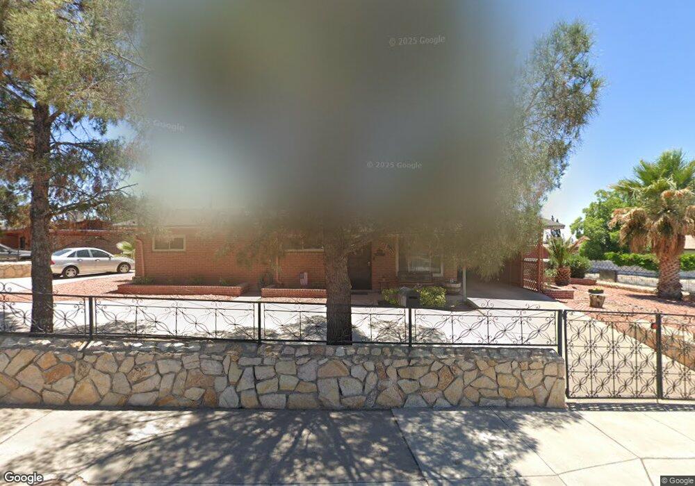
8100 Burnham Rd El Paso, TX 79907
Mesa Vista NeighborhoodEstimated Value: $151,000 - $199,000
3
Beds
2
Baths
1,040
Sq Ft
$162/Sq Ft
Est. Value
About This Home
This home is located at 8100 Burnham Rd, El Paso, TX 79907 and is currently estimated at $168,947, approximately $162 per square foot. 8100 Burnham Rd is a home located in El Paso County with nearby schools including Bel Air Middle, Bel Air High School, and Premier High School Of El Paso.
Ownership History
Date
Name
Owned For
Owner Type
Purchase Details
Closed on
May 16, 2003
Sold by
Tirres Santiago and Tirres Elia A
Bought by
Munoz Sylvia
Current Estimated Value
Home Financials for this Owner
Home Financials are based on the most recent Mortgage that was taken out on this home.
Original Mortgage
$67,000
Outstanding Balance
$29,077
Interest Rate
5.77%
Mortgage Type
Purchase Money Mortgage
Estimated Equity
$139,870
Create a Home Valuation Report for This Property
The Home Valuation Report is an in-depth analysis detailing your home's value as well as a comparison with similar homes in the area
Home Values in the Area
Average Home Value in this Area
Purchase History
| Date | Buyer | Sale Price | Title Company |
|---|---|---|---|
| Munoz Sylvia | -- | -- |
Source: Public Records
Mortgage History
| Date | Status | Borrower | Loan Amount |
|---|---|---|---|
| Open | Munoz Sylvia | $67,000 |
Source: Public Records
Tax History
| Year | Tax Paid | Tax Assessment Tax Assessment Total Assessment is a certain percentage of the fair market value that is determined by local assessors to be the total taxable value of land and additions on the property. | Land | Improvement |
|---|---|---|---|---|
| 2025 | $1,396 | $136,113 | -- | -- |
| 2024 | $1,396 | $123,739 | -- | -- |
| 2023 | $1,317 | $112,490 | $0 | $0 |
| 2022 | $3,176 | $102,264 | $0 | $0 |
| 2021 | $3,022 | $92,967 | $16,038 | $76,929 |
| 2020 | $2,727 | $86,347 | $16,038 | $70,309 |
| 2018 | $2,665 | $85,701 | $16,038 | $69,663 |
| 2017 | $2,660 | $87,017 | $16,038 | $70,979 |
| 2016 | $2,660 | $87,017 | $16,038 | $70,979 |
| 2015 | $2,037 | $87,017 | $16,038 | $70,979 |
| 2014 | $2,037 | $88,792 | $16,038 | $72,754 |
Source: Public Records
Map
Nearby Homes
- 8144 Burnham Rd
- 8045 Gilbert Dr
- 1101 Doyle Place
- 1037 Stanley St
- 1004 Atwood Dr
- 628 N Yarbrough Dr
- 961 Wyatt Dr
- 965 Duskin Dr
- 632 Mauer Dr
- 945 Richard Dr
- 964 Lomita Dr
- 653 Lafayette Dr
- TBD Yermoland Dr
- 7863 Laura Way
- 7906 Santa Maria Ct
- 1-12 Vanderbilt Dr
- 7973 Heid Ave
- 533 Montecito Rd
- 7860 Holly Place
- 7800 Hermosillo Dr
- 8104 Burnham Rd
- 8101 Burnham Rd
- 8101 Loma Terrace Rd
- 8108 Burnham Rd
- 8103 Burnham Rd
- 1165 Stanley St
- 1201 Stanley St
- 8105 Burnham Rd
- 1206 Stanley St
- 8105 Loma Terrace Rd
- 8112 Burnham Rd
- 8109 Burnham Rd
- 1161 Stanley St
- 1205 Stanley St
- 1210 Stanley St
- 8108 Gilbert Dr
- 8112 Gilbert Dr
- 8113 Burnham Rd
- 8062 Glendale Ave
- 1157 Stanley St
Your Personal Tour Guide
Ask me questions while you tour the home.