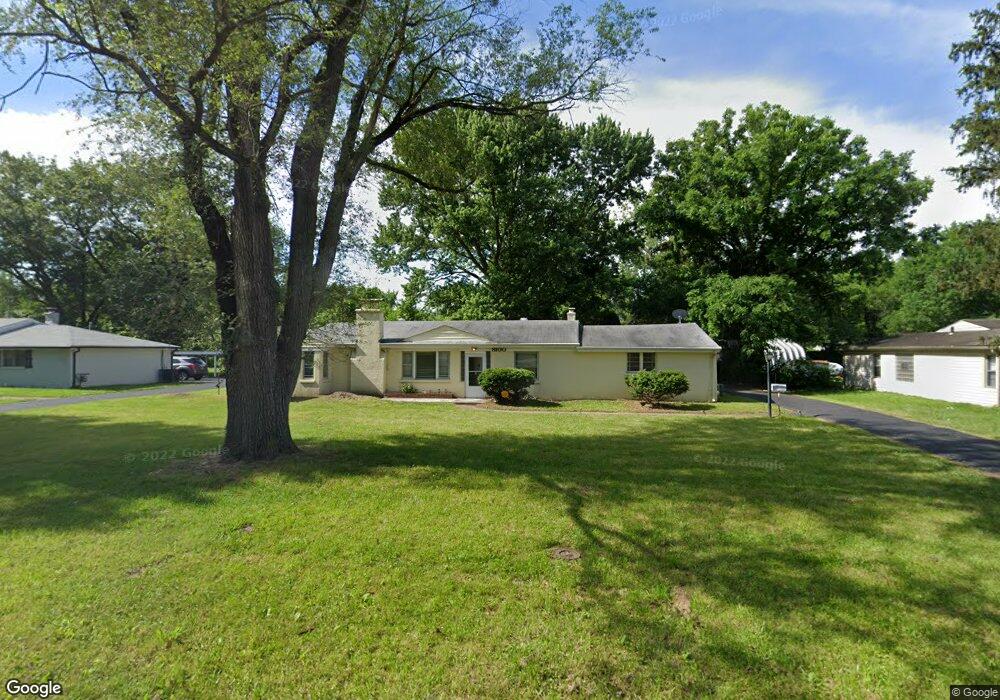
8100 Packard Ave Saint Louis, MO 63134
Estimated Value: $123,000 - $150,000
3
Beds
2
Baths
1,406
Sq Ft
$93/Sq Ft
Est. Value
About This Home
This home is located at 8100 Packard Ave, Saint Louis, MO 63134 and is currently estimated at $130,474, approximately $92 per square foot. 8100 Packard Ave is a home located in St. Louis County with nearby schools including Ferguson Middle School, Johnson Wabash Elementary School, and McCluer High School.
Ownership History
Date
Name
Owned For
Owner Type
Purchase Details
Closed on
Mar 24, 2006
Sold by
Commuso Wilma L
Bought by
Crozier William Henry and Crozier Karen Naomi
Current Estimated Value
Create a Home Valuation Report for This Property
The Home Valuation Report is an in-depth analysis detailing your home's value as well as a comparison with similar homes in the area
Home Values in the Area
Average Home Value in this Area
Purchase History
| Date | Buyer | Sale Price | Title Company |
|---|---|---|---|
| Crozier William Henry | $85,000 | Affordable Title Svcs Inc |
Source: Public Records
Mortgage History
| Date | Status | Borrower | Loan Amount |
|---|---|---|---|
| Closed | Crozier William Henry | -- |
Source: Public Records
Tax History Compared to Growth
Tax History
| Year | Tax Paid | Tax Assessment Tax Assessment Total Assessment is a certain percentage of the fair market value that is determined by local assessors to be the total taxable value of land and additions on the property. | Land | Improvement |
|---|---|---|---|---|
| 2025 | $1,542 | $24,290 | $2,720 | $21,570 |
| 2024 | $1,542 | $20,160 | $2,170 | $17,990 |
| 2023 | $1,523 | $20,160 | $2,170 | $17,990 |
| 2022 | $1,247 | $14,360 | $1,630 | $12,730 |
| 2021 | $1,239 | $14,360 | $1,630 | $12,730 |
| 2020 | $1,181 | $12,750 | $2,410 | $10,340 |
| 2019 | $1,132 | $12,750 | $2,410 | $10,340 |
| 2018 | $1,154 | $11,730 | $2,360 | $9,370 |
| 2017 | $1,146 | $11,730 | $2,360 | $9,370 |
| 2016 | $1,049 | $10,320 | $2,740 | $7,580 |
| 2015 | $1,018 | $10,320 | $2,740 | $7,580 |
| 2014 | $984 | $9,940 | $3,020 | $6,920 |
Source: Public Records
Map
Nearby Homes
- 8219 Davenport Dr
- 8140 Packard Ave
- 8027 Aline Ave
- 8042 Patterson Dr
- 6605 Carol Lee Dr
- 324 Newell Dr
- 8306 Whitewater Dr
- 6315 Washington Ave
- 6612 Torlina Dr
- 6315 Jackson Ave
- 213 Henquin Dr
- 6717 Thurston Ave
- 6130 Wulff Dr
- 117 Henquin Dr
- 8235 Zoe Dr
- 116 Henquin Dr
- 6016 Shillington Dr
- 6106 Jackson Ave
- 8413 January Ave
- 6005 Shillington Dr
- 8108 Packard Ave
- 8074 Packard Ave
- 8116 Packard Ave
- 8066 Packard Ave
- 8101 Packard Ave
- 8211 Davenport Dr
- 8111 Packard Ave
- 8215 Davenport Dr
- 8124 Packard Ave
- 8207 Davenport Dr
- 8061 Packard Ave
- 8203 Davenport Dr
- 8058 Packard Ave
- 8223 Davenport Dr
- 8227 Davenport Dr
- 8201 Davenport Dr
- 8121 Packard Ave
- 8051 Packard Ave
- 8231 Davenport Dr
- 8132 Packard Ave