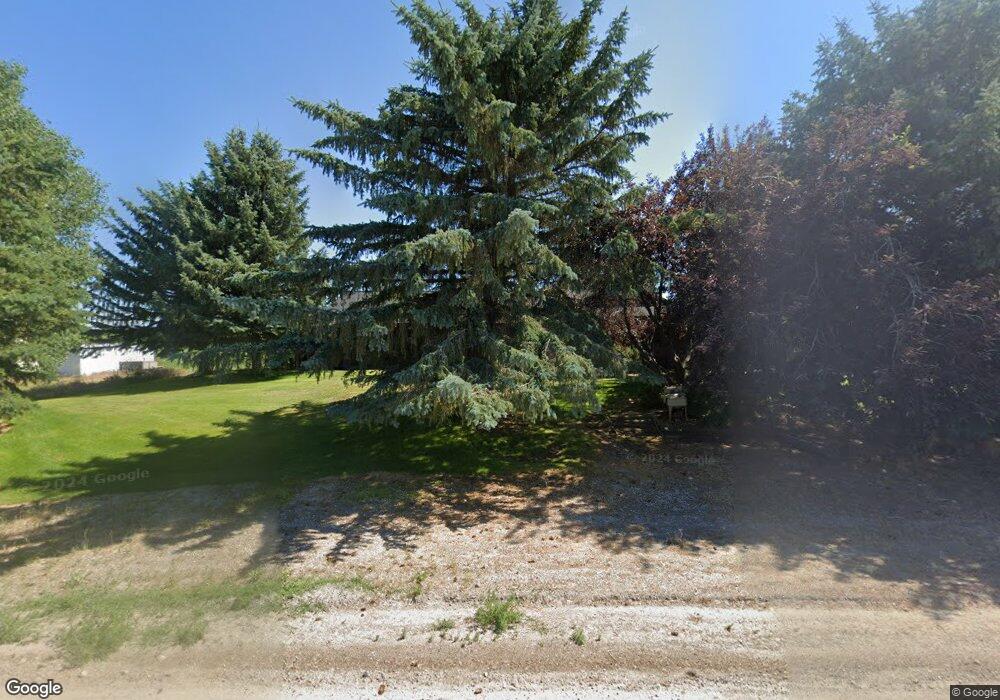
8101 E 2000 N Newdale, ID 83436
Estimated Value: $517,000 - $601,265
3
Beds
3
Baths
5,212
Sq Ft
$109/Sq Ft
Est. Value
About This Home
This home is located at 8101 E 2000 N, Newdale, ID 83436 and is currently estimated at $570,088, approximately $109 per square foot. 8101 E 2000 N is a home with nearby schools including Central Elementary School, Kershaw Intermediate School, and Sugar-Salem Junior High School.
Ownership History
Date
Name
Owned For
Owner Type
Purchase Details
Closed on
Aug 13, 2025
Sold by
Howard Kathy R and Howard Daris
Bought by
Holt Starla and Holt Jeremy W
Current Estimated Value
Home Financials for this Owner
Home Financials are based on the most recent Mortgage that was taken out on this home.
Original Mortgage
$542,000
Outstanding Balance
$541,531
Interest Rate
6.72%
Mortgage Type
New Conventional
Estimated Equity
$28,557
Purchase Details
Closed on
Jul 17, 2025
Sold by
Howard Kathy R and Howard Daris
Bought by
Howard Daris and Howard Kathy R
Home Financials for this Owner
Home Financials are based on the most recent Mortgage that was taken out on this home.
Original Mortgage
$542,000
Outstanding Balance
$541,531
Interest Rate
6.72%
Mortgage Type
New Conventional
Estimated Equity
$28,557
Purchase Details
Closed on
Dec 29, 2023
Sold by
Howard Kathy R and Howard Micheal R
Bought by
Howard Kathy R
Create a Home Valuation Report for This Property
The Home Valuation Report is an in-depth analysis detailing your home's value as well as a comparison with similar homes in the area
Home Values in the Area
Average Home Value in this Area
Purchase History
| Date | Buyer | Sale Price | Title Company |
|---|---|---|---|
| Holt Starla | -- | Flying S Title And Escrow Of I | |
| Howard Daris | -- | Flying S Title And Escrow | |
| Ralph R And Beth Pocock Family Limited Partne | -- | Flying S Title And Escrow | |
| Howard Kathy R | -- | None Listed On Document |
Source: Public Records
Mortgage History
| Date | Status | Borrower | Loan Amount |
|---|---|---|---|
| Open | Holt Starla | $542,000 |
Source: Public Records
Tax History Compared to Growth
Tax History
| Year | Tax Paid | Tax Assessment Tax Assessment Total Assessment is a certain percentage of the fair market value that is determined by local assessors to be the total taxable value of land and additions on the property. | Land | Improvement |
|---|---|---|---|---|
| 2025 | $1,928 | $520,298 | $80,700 | $439,598 |
| 2024 | $1,928 | $520,298 | $80,700 | $439,598 |
| 2023 | $1,928 | $485,933 | $61,579 | $424,354 |
| 2022 | $2,768 | $467,037 | $50,500 | $416,537 |
| 2021 | $1,798 | $309,948 | $35,400 | $274,548 |
| 2020 | $1,631 | $253,693 | $27,900 | $225,793 |
| 2019 | $1,722 | $232,024 | $27,900 | $204,124 |
| 2018 | $1,645 | $239,642 | $27,900 | $211,742 |
| 2017 | $1,597 | $225,591 | $27,900 | $197,691 |
| 2016 | $1,533 | $212,722 | $25,400 | $187,322 |
| 2015 | $1,532 | $203,683 | $0 | $0 |
| 2013 | -- | $203,683 | $0 | $0 |
Source: Public Records
Map
Nearby Homes
- 275 Park St
- TBD N 2750 E
- 209 E Main St
- 28 E Main St
- 24 E Main St
- 117 N 1st W
- 35 N 3rd W
- 0 Long Hollow Rd
- 100 Teton Hwy
- N 2750 E
- Lot 22 N Wilford Rd
- Lot 16 N Wilford Rd
- Lot 18 N Wilford Rd
- Lot 10 N Wilford Rd
- Lot 5 N Wilford Rd
- Lot 1 N Wilford Rd
- Lot 11 N Wilford Rd
- Lot 13 N Wilford Rd
- Lot 26 N Wilford Rd
- Lot 2 N Wilford Rd
