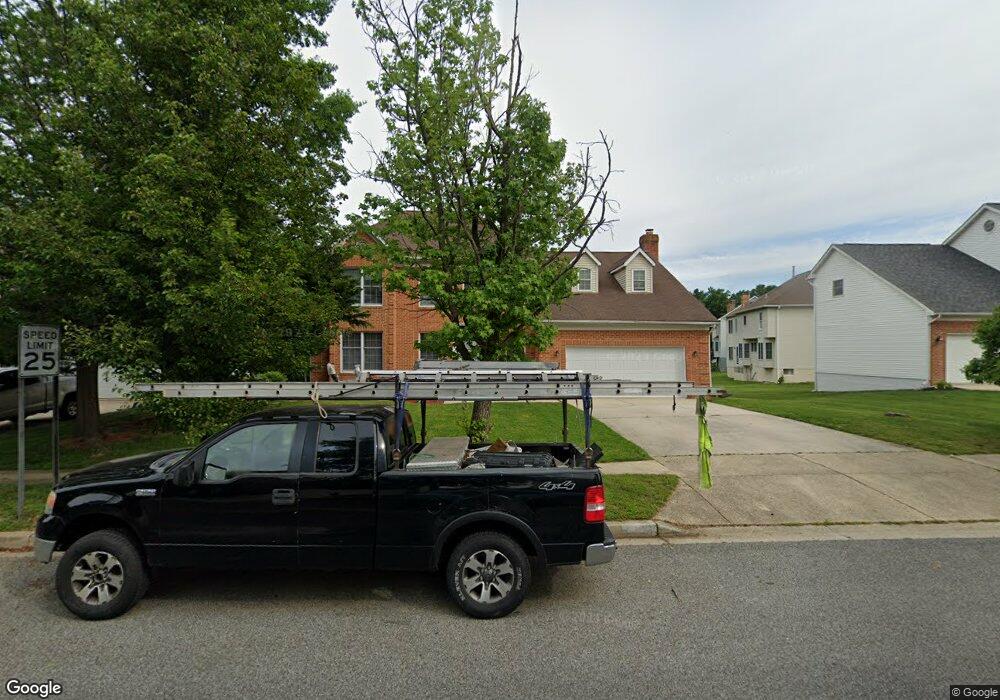
8103 Mike Shapiro Dr Clinton, MD 20735
Estimated Value: $582,000 - $658,000
4
Beds
4
Baths
4,398
Sq Ft
$139/Sq Ft
Est. Value
About This Home
This home is located at 8103 Mike Shapiro Dr, Clinton, MD 20735 and is currently estimated at $610,897, approximately $138 per square foot. 8103 Mike Shapiro Dr is a home located in Prince George's County with nearby schools including Francis T. Evans Elementary School, Stephen Decatur Middle School, and Dr. Henry A. Wise Jr. High School.
Ownership History
Date
Name
Owned For
Owner Type
Purchase Details
Closed on
Jun 26, 2020
Sold by
H And H Prestigous Homes Llc
Bought by
Asaolu Oladapo O and Asaolu Shakirat A
Current Estimated Value
Home Financials for this Owner
Home Financials are based on the most recent Mortgage that was taken out on this home.
Original Mortgage
$436,403
Outstanding Balance
$386,838
Interest Rate
3.2%
Mortgage Type
New Conventional
Estimated Equity
$224,059
Purchase Details
Closed on
Mar 30, 2018
Sold by
Nargis Yasmin Z and Rahman Yasmin N
Bought by
H&H Prestigous Homes Llc
Home Financials for this Owner
Home Financials are based on the most recent Mortgage that was taken out on this home.
Original Mortgage
$272,500
Interest Rate
4.43%
Mortgage Type
Purchase Money Mortgage
Purchase Details
Closed on
Feb 27, 1991
Sold by
Crestwood Homes
Bought by
Rahman Muhammad K and Rahman Yasmin N
Create a Home Valuation Report for This Property
The Home Valuation Report is an in-depth analysis detailing your home's value as well as a comparison with similar homes in the area
Home Values in the Area
Average Home Value in this Area
Purchase History
| Date | Buyer | Sale Price | Title Company |
|---|---|---|---|
| Asaolu Oladapo O | $449,900 | Awo Title Llc | |
| H&H Prestigous Homes Llc | $272,500 | Vincent Place Title & Escrow | |
| Rahman Muhammad K | $229,500 | -- |
Source: Public Records
Mortgage History
| Date | Status | Borrower | Loan Amount |
|---|---|---|---|
| Open | Asaolu Oladapo O | $436,403 | |
| Previous Owner | H&H Prestigous Homes Llc | $272,500 |
Source: Public Records
Tax History Compared to Growth
Tax History
| Year | Tax Paid | Tax Assessment Tax Assessment Total Assessment is a certain percentage of the fair market value that is determined by local assessors to be the total taxable value of land and additions on the property. | Land | Improvement |
|---|---|---|---|---|
| 2025 | $7,853 | $542,700 | $116,400 | $426,300 |
| 2024 | $7,853 | $501,600 | $0 | $0 |
| 2023 | $7,241 | $460,500 | $0 | $0 |
| 2022 | $6,630 | $419,400 | $101,400 | $318,000 |
| 2021 | $6,149 | $387,033 | $0 | $0 |
| 2020 | $5,668 | $354,667 | $0 | $0 |
| 2019 | $4,615 | $322,300 | $100,700 | $221,600 |
| 2018 | $5,010 | $310,367 | $0 | $0 |
| 2017 | $4,655 | $298,433 | $0 | $0 |
| 2016 | -- | $286,500 | $0 | $0 |
| 2015 | $5,035 | $286,500 | $0 | $0 |
| 2014 | $5,035 | $286,500 | $0 | $0 |
Source: Public Records
Map
Nearby Homes
- 7729 Castle Rock Dr
- 7904 Mike Shapiro Dr
- 7209 Mcmillen Dr
- 7205 Mcmillen Dr
- 7113 Branchwood Place
- 0 Dangerfield Rd
- 0 Clinton Vista Ln
- 6610 Bullrush Ct
- 6410 Woodley Rd
- 8817 Mimosa Ave
- 7807 Colonial Ln
- 7804 New Ascot Ln
- 9003 Woodyard Rd
- 6009 Sellner Ln
- 6109 Kirby Rd
- 9302 Caldran Dr
- 9409 Silver Fox Turn
- 8518 Cedar Chase Dr
- 5900 Arbroath Dr
- 6006 Runnymeade Ave
- 8105 Mike Shapiro Dr
- 8101 Mike Shapiro Dr
- 7731 Castle Rock Dr
- 8107 Mike Shapiro Dr
- 8102 Mike Shapiro Dr
- 8104 Mike Shapiro Dr
- 7801 Castle Rock Dr
- 8109 Mike Shapiro Dr
- 8106 Mike Shapiro Dr
- 7727 Castle Rock Dr
- 7730 Castle Rock Dr
- 8108 Mike Shapiro Dr
- 7732 Castle Rock Dr
- 7728 Castle Rock Dr
- 7803 Castle Rock Dr
- 8111 Mike Shapiro Dr
- 7800 Castle Rock Dr
- 7805 Castle Rock Dr
- 7725 Castle Rock Dr
- 7726 Castle Rock Dr