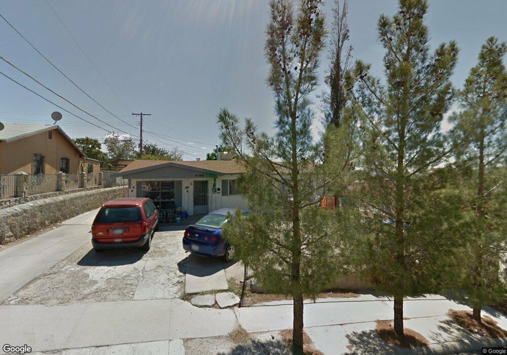
8104 Ryland Ct El Paso, TX 79907
Williams Park NeighborhoodEstimated Value: $169,685 - $191,000
3
Beds
2
Baths
1,658
Sq Ft
$110/Sq Ft
Est. Value
About This Home
This home is located at 8104 Ryland Ct, El Paso, TX 79907 and is currently estimated at $181,671, approximately $109 per square foot. 8104 Ryland Ct is a home located in El Paso County with nearby schools including Loma Terrace Elementary School, Bel Air Middle, and Bel Air High School.
Ownership History
Date
Name
Owned For
Owner Type
Purchase Details
Closed on
Aug 31, 2001
Sold by
Montoya Oscar and Aragon Maria Dejesus
Bought by
Ramirez Oscar
Current Estimated Value
Home Financials for this Owner
Home Financials are based on the most recent Mortgage that was taken out on this home.
Original Mortgage
$58,400
Outstanding Balance
$22,756
Interest Rate
6.98%
Estimated Equity
$158,915
Create a Home Valuation Report for This Property
The Home Valuation Report is an in-depth analysis detailing your home's value as well as a comparison with similar homes in the area
Home Values in the Area
Average Home Value in this Area
Purchase History
| Date | Buyer | Sale Price | Title Company |
|---|---|---|---|
| Ramirez Oscar | -- | -- |
Source: Public Records
Mortgage History
| Date | Status | Borrower | Loan Amount |
|---|---|---|---|
| Open | Ramirez Oscar | $58,400 |
Source: Public Records
Tax History Compared to Growth
Tax History
| Year | Tax Paid | Tax Assessment Tax Assessment Total Assessment is a certain percentage of the fair market value that is determined by local assessors to be the total taxable value of land and additions on the property. | Land | Improvement |
|---|---|---|---|---|
| 2025 | $4,435 | $177,768 | $28,670 | $149,098 |
| 2024 | $4,435 | $143,279 | $12,383 | $130,896 |
| 2023 | $4,165 | $143,099 | $12,383 | $130,716 |
| 2022 | $4,150 | $133,650 | $12,383 | $121,267 |
| 2021 | $3,397 | $104,521 | $12,383 | $92,138 |
| 2020 | $2,682 | $84,910 | $12,383 | $72,527 |
| 2018 | $2,620 | $84,241 | $12,383 | $71,858 |
| 2017 | $2,379 | $77,818 | $12,383 | $65,435 |
| 2016 | $2,379 | $77,818 | $12,383 | $65,435 |
| 2015 | $2,303 | $77,818 | $12,383 | $65,435 |
| 2014 | $2,303 | $80,475 | $12,383 | $68,092 |
Source: Public Records
Map
Nearby Homes
- 1004 Atwood Dr
- 956 Duskin Dr
- 8181 Staghorn Dr
- 8241 Williamette Ave
- 8341 Loma Terrace Rd
- TBD Yermoland Dr
- 1121 Stanley St
- TBD Burnham Dr
- 8004 Gilbert Dr
- 8280 N Loop Dr
- 810 Silvestre Rd
- 491 Borrett St
- 8350 Lynn Haven Ave
- 859 Destello Rd
- 902 Destello Rd
- 8508 Euphrates Dr
- 837 Destello Rd
- 833 Destello Rd
- 525 Lafayette Dr
- 7937 San Paulo Dr
- 8100 Ryland Ct
- 8108 Ryland Ct
- 8113 Highland Ave
- 8112 Ryland Ct
- 8101 Ryland Ct
- 8109 Highland Ave
- 8117 Highland Ave
- 8116 Ryland Ct
- 956 Cornelius Dr
- 962 Cornelius Dr
- 8120 Ryland Ct
- 8121 Highland Ave
- 8105 Highland Ave
- 968 Cornelius Dr
- 986 Stanley St
- 982 Stanley St
- 8125 Highland Ave
- 8126 Yermoland Dr
- 8120 Yermoland Dr
- 974 Cornelius Dr