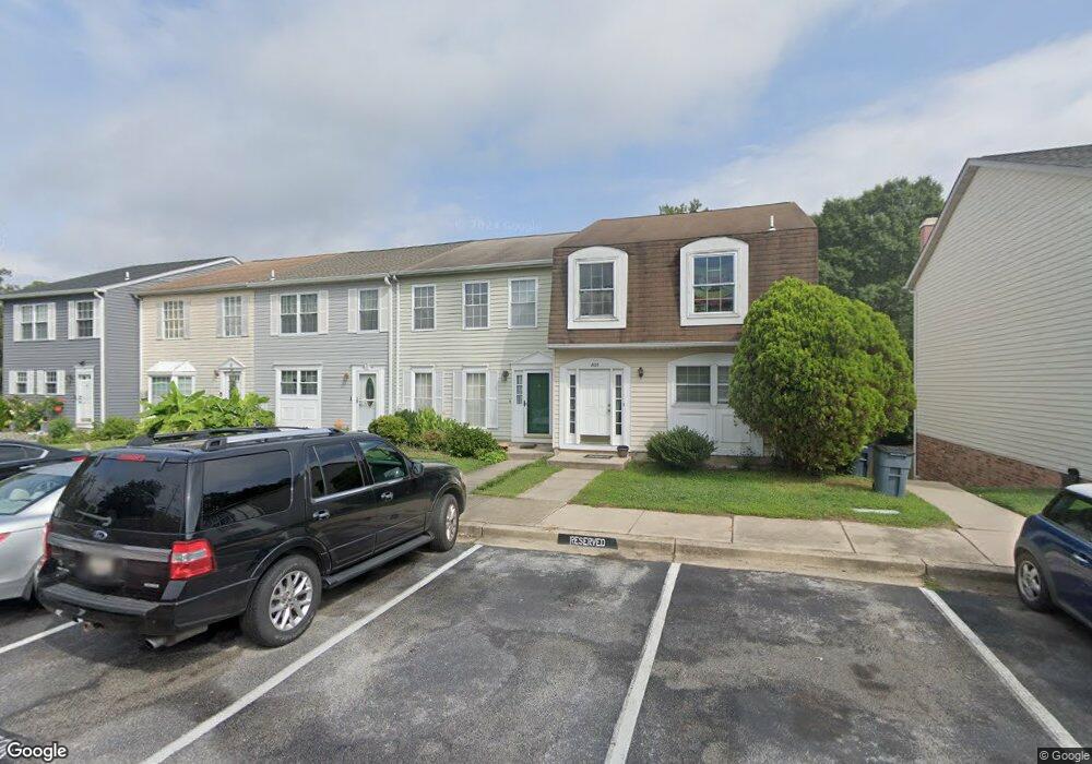
8106 Sandy Spring Rd Laurel, MD 20707
Estimated Value: $359,194 - $415,000
Studio
3
Baths
1,512
Sq Ft
$251/Sq Ft
Est. Value
About This Home
This home is located at 8106 Sandy Spring Rd, Laurel, MD 20707 and is currently estimated at $379,049, approximately $250 per square foot. 8106 Sandy Spring Rd is a home located in Prince George's County with nearby schools including Scotchtown Hills Elementary School, Dwight D. Eisenhower Middle School, and Laurel High School.
Ownership History
Date
Name
Owned For
Owner Type
Purchase Details
Closed on
Mar 7, 2001
Sold by
Sharp Kevin B and Sharp Lisa M
Bought by
Mazyk Illetha C
Current Estimated Value
Purchase Details
Closed on
Apr 20, 1995
Sold by
Jones Michael C
Bought by
Sharp Kevin B
Home Financials for this Owner
Home Financials are based on the most recent Mortgage that was taken out on this home.
Original Mortgage
$129,709
Interest Rate
8.55%
Purchase Details
Closed on
Jan 25, 1989
Sold by
Stokes William G
Bought by
Jones Michael C
Create a Home Valuation Report for This Property
The Home Valuation Report is an in-depth analysis detailing your home's value as well as a comparison with similar homes in the area
Home Values in the Area
Average Home Value in this Area
Purchase History
| Date | Buyer | Sale Price | Title Company |
|---|---|---|---|
| Mazyk Illetha C | $137,500 | -- | |
| Sharp Kevin B | $129,900 | -- | |
| Jones Michael C | $111,000 | -- |
Source: Public Records
Mortgage History
| Date | Status | Borrower | Loan Amount |
|---|---|---|---|
| Previous Owner | Sharp Kevin B | $129,709 |
Source: Public Records
Tax History
| Year | Tax Paid | Tax Assessment Tax Assessment Total Assessment is a certain percentage of the fair market value that is determined by local assessors to be the total taxable value of land and additions on the property. | Land | Improvement |
|---|---|---|---|---|
| 2025 | $4,093 | $312,400 | $90,000 | $222,400 |
| 2024 | $4,093 | $312,133 | -- | -- |
| 2023 | $4,027 | $311,867 | $0 | $0 |
| 2022 | $3,465 | $311,600 | $75,000 | $236,600 |
| 2021 | $3,207 | $288,200 | $0 | $0 |
| 2020 | $7,163 | $264,800 | $0 | $0 |
| 2019 | $3,457 | $241,400 | $75,000 | $166,400 |
| 2018 | $3,317 | $235,667 | $0 | $0 |
| 2017 | $5,660 | $229,933 | $0 | $0 |
| 2016 | -- | $224,200 | $0 | $0 |
| 2015 | $3,152 | $216,133 | $0 | $0 |
| 2014 | $3,152 | $208,067 | $0 | $0 |
Source: Public Records
Map
Nearby Homes
- 8040 Sandy Spring Rd
- 15781 Haynes Rd
- 1016 Phillip Powers Dr
- 916 Philip Powers Dr
- 1103 Montgomery St
- 1009 Turney Ave
- 15743 Millbrook Ln
- 910 Montgomery St Unit A
- 1012 Ward St
- 1028 Ward St
- 7709 Brooklyn Bridge Rd
- 903 Montrose Ave
- 1004 Marton St
- 501 8th St
- 1202 Marton St
- 9425 Fairview Ave
- 7616 Woodbine Dr
- 15603 Dorset Rd Unit 101
- 9437 Fairview Ave
- 7646 S Arbory Ln
- 8108 Sandy Spring Rd
- 8104 Sandy Spring Rd
- 8102 Sandy Spring Rd
- 8110 Sandy Spring Rd
- 8100 Sandy Spring Rd
- 15605 Birch Run Terrace
- 8112 Sandy Spring Rd
- 15607 Birch Run Terrace
- 8114 Sandy Spring Rd
- 15609 Birch Run Terrace
- 15611 Birch Run Terrace
- 8116 Sandy Spring Rd
- 15613 Birch Run Terrace
- 15615 Birch Run Terrace
- 8012 Sandy Spring Rd
- 15617 Birch Run Terrace
- 8026 Sandy Spring Rd
- 15619 Birch Run Terrace
- 9800 Old Spring Rd
- 8024 Sandy Spring Rd
Your Personal Tour Guide
Ask me questions while you tour the home.