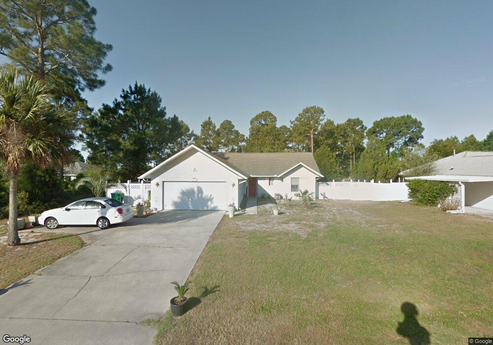
8107 Alabama Ave Unit Lot 11 Port Saint Joe, FL 32456
Saint Joe Beach NeighborhoodEstimated Value: $358,000 - $570,000
3
Beds
2
Baths
1,619
Sq Ft
$270/Sq Ft
Est. Value
About This Home
This home is located at 8107 Alabama Ave Unit Lot 11, Port Saint Joe, FL 32456 and is currently estimated at $437,770, approximately $270 per square foot. 8107 Alabama Ave Unit Lot 11 is a home located in Gulf County.
Ownership History
Date
Name
Owned For
Owner Type
Purchase Details
Closed on
Sep 3, 2020
Sold by
Cmn Holdings Llc
Bought by
Novota Charles M and Novota Joanie Smithwick
Current Estimated Value
Purchase Details
Closed on
Oct 20, 2006
Sold by
Saddler Mary Tina Davis and Saddler Tina D
Bought by
Saddler Mary Tina Davis
Home Financials for this Owner
Home Financials are based on the most recent Mortgage that was taken out on this home.
Original Mortgage
$72,000
Interest Rate
6.31%
Mortgage Type
New Conventional
Create a Home Valuation Report for This Property
The Home Valuation Report is an in-depth analysis detailing your home's value as well as a comparison with similar homes in the area
Home Values in the Area
Average Home Value in this Area
Purchase History
| Date | Buyer | Sale Price | Title Company |
|---|---|---|---|
| Novota Charles M | $140,800 | None Listed On Document | |
| Saddler Mary Tina Davis | -- | None Available |
Source: Public Records
Mortgage History
| Date | Status | Borrower | Loan Amount |
|---|---|---|---|
| Previous Owner | Saddler Mary Tina Davis | $72,000 |
Source: Public Records
Tax History Compared to Growth
Tax History
| Year | Tax Paid | Tax Assessment Tax Assessment Total Assessment is a certain percentage of the fair market value that is determined by local assessors to be the total taxable value of land and additions on the property. | Land | Improvement |
|---|---|---|---|---|
| 2024 | $2,310 | $234,195 | -- | -- |
| 2023 | $2,352 | $227,374 | $0 | $0 |
| 2022 | $2,351 | $220,751 | $0 | $0 |
| 2021 | $2,380 | $214,315 | $70,000 | $144,315 |
| 2020 | $2,204 | $158,633 | $60,000 | $98,633 |
| 2019 | $1,655 | $117,647 | $50,000 | $67,647 |
| 2018 | $2,320 | $168,017 | $0 | $0 |
| 2017 | $2,170 | $161,375 | $0 | $0 |
| 2016 | $1,937 | $130,313 | $0 | $0 |
| 2015 | $1,850 | $121,365 | $0 | $0 |
| 2014 | $1,759 | $122,392 | $0 | $0 |
Source: Public Records
Map
Nearby Homes
- TBD Americus Ave
- TBD Americus Ave Unit A
- 122 Sea Mist Dr
- 110 Ocean Ridge Ln
- 8184 W Highway 98
- 254 Court St
- 8041 W Highway 98
- 8205 W Highway 98 Unit 3
- 8205 W Highway 98
- 7924 W Hwy 98
- 8215 W Highway 98 Unit 2
- 7924 W Highway 98 Unit Lot 2
- 154 Gulf Aire Dr Unit 2
- Lot 14 Monroe Ct
- Lot 11 Ward St
- Lot 14 Ward St
- 706 Nautilus Dr
- 212 Buccaneer Dr
- TBD Buccaneer Dr
- 8255 W Highway 98
- 8107 Alabama Ave
- 8109 Alabama Ave
- 106 Windsong Ct Unit Lot 30
- 106 Windsong Ct
- 8108 Coquina Shell Way
- 8111 Alabama Ave
- 8103 Alabama Ave
- 8103 Alabama Ave
- 8108 Alabama Ave
- 8106 Coquina Dr
- 8112 Coquina Dr
- 8104 Coquina Dr
- 0 Coquina Dr Unit Lot 1 258520
- 0 Coquina Dr
- 5 Coquina Dr
- 8114 Coquina Dr
- 8104 Alabama Ave
- 32 Windsong Ct
- 104 Windsong Ct Unit Lot 29