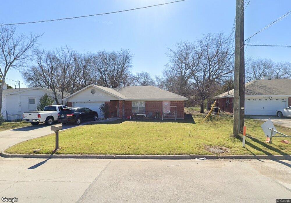
8107 Wyatt Dr Fort Worth, TX 76108
Estimated Value: $238,823 - $245,000
3
Beds
2
Baths
1,285
Sq Ft
$188/Sq Ft
Est. Value
About This Home
This home is located at 8107 Wyatt Dr, Fort Worth, TX 76108 and is currently estimated at $241,912, approximately $188 per square foot. 8107 Wyatt Dr is a home located in Tarrant County with nearby schools including Liberty Elementary School, Brewer Middle School, and Tannahill Intermediate School.
Ownership History
Date
Name
Owned For
Owner Type
Purchase Details
Closed on
Sep 4, 2001
Sold by
Wilson Leon M
Bought by
Thurman Lee
Current Estimated Value
Home Financials for this Owner
Home Financials are based on the most recent Mortgage that was taken out on this home.
Original Mortgage
$61,500
Interest Rate
6.98%
Create a Home Valuation Report for This Property
The Home Valuation Report is an in-depth analysis detailing your home's value as well as a comparison with similar homes in the area
Home Values in the Area
Average Home Value in this Area
Purchase History
| Date | Buyer | Sale Price | Title Company |
|---|---|---|---|
| Thurman Lee | -- | Alamo Title Company |
Source: Public Records
Mortgage History
| Date | Status | Borrower | Loan Amount |
|---|---|---|---|
| Previous Owner | Thurman Lee | $61,500 |
Source: Public Records
Tax History Compared to Growth
Tax History
| Year | Tax Paid | Tax Assessment Tax Assessment Total Assessment is a certain percentage of the fair market value that is determined by local assessors to be the total taxable value of land and additions on the property. | Land | Improvement |
|---|---|---|---|---|
| 2025 | $5,384 | $218,000 | $32,670 | $185,330 |
| 2024 | $5,384 | $227,275 | $32,670 | $194,605 |
| 2023 | $5,587 | $235,000 | $32,670 | $202,330 |
| 2022 | $5,076 | $187,450 | $25,000 | $162,450 |
| 2021 | $4,539 | $165,000 | $25,000 | $140,000 |
| 2020 | $4,156 | $150,000 | $25,000 | $125,000 |
| 2019 | $4,315 | $150,000 | $25,000 | $125,000 |
| 2018 | $3,740 | $130,000 | $12,000 | $118,000 |
| 2017 | $3,686 | $126,141 | $12,000 | $114,141 |
| 2016 | $3,482 | $119,159 | $12,000 | $107,159 |
| 2015 | $1,832 | $63,790 | $10,000 | $53,790 |
| 2014 | $1,832 | $63,790 | $10,000 | $53,790 |
Source: Public Records
Map
Nearby Homes
- 604 Kimbrough St
- 2921 Dixondale Dr
- 2952 Fox Trail Ln
- 2916 Fox Trail Ln
- 2932 Fox Trail Ln
- 2920 Fox Trail Ln
- 2968 Fox Trail Ln
- 2937 Dixondale Dr
- 2912 Fox Trail Ln
- 2928 Fox Trail Ln
- 2972 Fox Trail Ln
- 2956 Fox Trail Ln
- 2949 Dixondale Dr
- 2913 Dixondale Dr
- 2905 Dixondale Dr
- 2901 Dixondale Dr
- 2929 Dixondale Dr
- 2909 Dixondale Dr
- 2925 Dixondale Dr
- 2917 Dixondale Dr