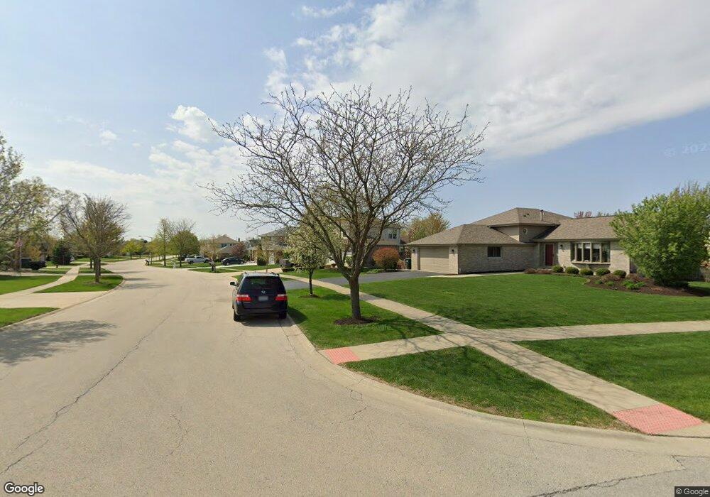
811 Brigantine Dr New Lenox, IL 60451
Estimated Value: $482,695 - $529,000
--
Bed
--
Bath
--
Sq Ft
0.28
Acres
About This Home
This home is located at 811 Brigantine Dr, New Lenox, IL 60451 and is currently estimated at $503,174. 811 Brigantine Dr is a home located in Will County with nearby schools including Spencer Trail, Spencer Pointe, and Spencer Crossing Intermediate School.
Ownership History
Date
Name
Owned For
Owner Type
Purchase Details
Closed on
Nov 7, 2003
Sold by
Mejia Luis J and Mejia Christina C
Bought by
Brandon Michael P and Brandon Cheri L
Current Estimated Value
Home Financials for this Owner
Home Financials are based on the most recent Mortgage that was taken out on this home.
Original Mortgage
$200,000
Outstanding Balance
$93,364
Interest Rate
6.1%
Mortgage Type
Purchase Money Mortgage
Estimated Equity
$409,810
Purchase Details
Closed on
Jun 25, 2001
Sold by
Nlsb
Bought by
Mejia Luis J and Mejia Christina C
Home Financials for this Owner
Home Financials are based on the most recent Mortgage that was taken out on this home.
Original Mortgage
$231,589
Interest Rate
7.18%
Create a Home Valuation Report for This Property
The Home Valuation Report is an in-depth analysis detailing your home's value as well as a comparison with similar homes in the area
Home Values in the Area
Average Home Value in this Area
Purchase History
| Date | Buyer | Sale Price | Title Company |
|---|---|---|---|
| Brandon Michael P | $315,000 | Ticor Title | |
| Mejia Luis J | $244,000 | -- |
Source: Public Records
Mortgage History
| Date | Status | Borrower | Loan Amount |
|---|---|---|---|
| Open | Brandon Michael P | $200,000 | |
| Previous Owner | Mejia Luis J | $231,589 |
Source: Public Records
Tax History Compared to Growth
Tax History
| Year | Tax Paid | Tax Assessment Tax Assessment Total Assessment is a certain percentage of the fair market value that is determined by local assessors to be the total taxable value of land and additions on the property. | Land | Improvement |
|---|---|---|---|---|
| 2024 | $12,079 | $156,846 | $36,393 | $120,453 |
| 2023 | $12,079 | $142,977 | $33,175 | $109,802 |
| 2022 | $10,878 | $131,715 | $30,562 | $101,153 |
| 2021 | $10,331 | $123,874 | $28,743 | $95,131 |
| 2020 | $10,039 | $119,454 | $27,717 | $91,737 |
| 2019 | $9,611 | $115,750 | $26,858 | $88,892 |
| 2018 | $9,391 | $111,760 | $25,932 | $85,828 |
| 2017 | $8,926 | $108,547 | $25,186 | $83,361 |
| 2016 | $8,666 | $105,642 | $24,512 | $81,130 |
| 2015 | $8,393 | $102,316 | $23,740 | $78,576 |
| 2014 | $8,393 | $101,053 | $23,447 | $77,606 |
| 2013 | $8,393 | $102,415 | $23,763 | $78,652 |
Source: Public Records
Map
Nearby Homes
- 2758 Bluestone Bay Dr
- 651 Schooner Dr
- 2848 Southwind Dr
- 2667 E Lincoln Hwy
- 190 Pottawatomie Ln
- 701 Bishops Gate
- 641 Lisson Grove
- 21606 Skyway Dr
- 21359 Saddle Ln
- 1535 Glenbrooke Ln
- 1595 Glenbrooke Ln
- 1591 Glenbrooke Ln
- 1587 Glenbrooke Ln
- 1583 Glenbrooke Ln
- 1579 Glenbrooke Bldg 60 Ln
- 21244 Sage Brush Ln
- 21170 Sage Brush Ln
- 1738 Orchard Ln
- 1351 E Lincoln Hwy
- Avalon Plan at Leigh Creek - Townhome
- 817 Brigantine Dr
- 803 Brigantine Dr
- 818 Westwind Dr
- 812 Westwind Dr
- 2650 Bluestone Bay Dr
- 825 Brigantine Dr
- 826 Westwind Dr
- 810 Brigantine Dr
- 802 Brigantine Dr
- 2620 Bluestone Bay Dr
- 818 Brigantine Dr
- 831 Brigantine Dr
- 832 Westwind Dr
- 2689 Bluestone Bay Dr
- 2677 Bluestone Bay Dr
- 2717 Bluestone Bay Dr
- 2657 Bluestone Bay Dr
- 2720 Bluestone Bay Dr
- 2717 Genoa Dr
- 837 Brigantine Dr