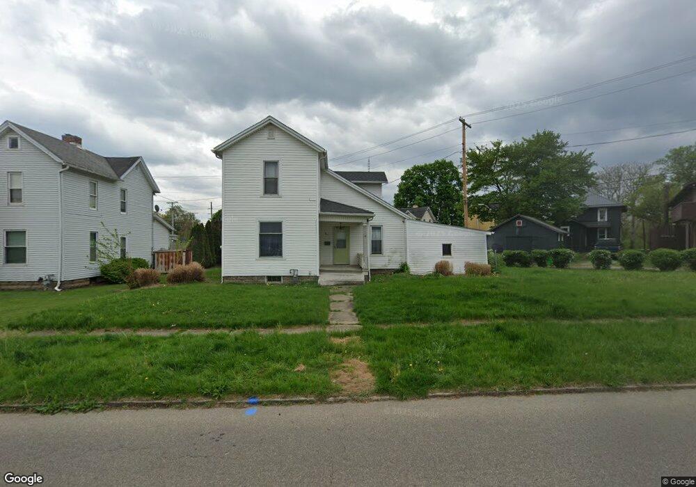
811 Denman Ave Coshocton, OH 43812
Estimated Value: $99,000 - $121,000
2
Beds
2
Baths
1,326
Sq Ft
$81/Sq Ft
Est. Value
About This Home
This home is located at 811 Denman Ave, Coshocton, OH 43812 and is currently estimated at $107,333, approximately $80 per square foot. 811 Denman Ave is a home located in Coshocton County with nearby schools including Coshocton High School, Coshocton Opportunity School, and Sacred Heart Elementary School.
Ownership History
Date
Name
Owned For
Owner Type
Purchase Details
Closed on
Jul 24, 2015
Sold by
Jeanne Davis Callahan Family Trust and Callahan Jeanne Davis
Bought by
Ward Rachel Ann and Ward James Joseph
Current Estimated Value
Home Financials for this Owner
Home Financials are based on the most recent Mortgage that was taken out on this home.
Original Mortgage
$500,000
Outstanding Balance
$318,710
Interest Rate
6%
Mortgage Type
Land Contract Argmt. Of Sale
Estimated Equity
-$211,377
Purchase Details
Closed on
Dec 22, 2004
Sold by
Brown Donald E
Bought by
Callahan Jeanne Davis Family Trust
Purchase Details
Closed on
Sep 1, 1988
Create a Home Valuation Report for This Property
The Home Valuation Report is an in-depth analysis detailing your home's value as well as a comparison with similar homes in the area
Home Values in the Area
Average Home Value in this Area
Purchase History
| Date | Buyer | Sale Price | Title Company |
|---|---|---|---|
| Ward Rachel Ann | $50,000 | None Available | |
| Callahan Jeanne Davis Family Trust | $44,000 | -- | |
| -- | $12,500 | -- |
Source: Public Records
Mortgage History
| Date | Status | Borrower | Loan Amount |
|---|---|---|---|
| Open | Ward Rachel Ann | $500,000 |
Source: Public Records
Tax History Compared to Growth
Tax History
| Year | Tax Paid | Tax Assessment Tax Assessment Total Assessment is a certain percentage of the fair market value that is determined by local assessors to be the total taxable value of land and additions on the property. | Land | Improvement |
|---|---|---|---|---|
| 2024 | $1,086 | $20,940 | $4,340 | $16,600 |
| 2023 | $1,086 | $17,473 | $3,035 | $14,438 |
| 2022 | $855 | $17,473 | $3,035 | $14,438 |
| 2021 | $856 | $17,473 | $3,035 | $14,438 |
| 2020 | $1,032 | $20,402 | $3,101 | $17,301 |
| 2019 | $1,044 | $20,402 | $3,101 | $17,301 |
| 2018 | $998 | $20,402 | $3,101 | $17,301 |
| 2017 | $984 | $18,691 | $2,895 | $15,796 |
| 2016 | $945 | $18,691 | $2,895 | $15,796 |
| 2015 | $475 | $18,691 | $2,895 | $15,796 |
| 2014 | $752 | $16,342 | $2,895 | $13,447 |
Source: Public Records
Map
Nearby Homes
- 935 S 7th St
- 810 Pine St
- 720 Pine St
- 731 S Lawn Ave
- 922 Pine St
- 731 S 6th St
- Lot# 7, S 12th St
- Lot 8 Country Club Dr
- 510 S 8th St
- 380 S 10th St
- 433 S 7th St
- 597 S 12th St
- Lot 7 Country Club Dr
- Lot 2 Country Club Dr
- Lot 1 Country Club Dr
- Lot 5 Country Club Dr
- Lot 4 Country Club Dr
- Lot 3 Country Club Dr
- Lot 6 Country Club Dr
- 1730 Otsego Ave
- 722 Otsego Ave
- 724 Otsego Ave
- 805 Denman Ave
- 726 Otsego Ave
- 819 Denman Ave
- 728 Otsego Ave
- 730 Otsego Ave
- 823 Denman Ave
- 827 Denman Ave
- 831 Denman Ave
- 835 Denman Ave
- 839 Denman Ave
- 716 Denman Ave
- 714 Denman Ave
- 843 Otsego Ave
- 712 Denman Ave
- 908 Cassingham Ave
- 838 Otsego Ave
- 911 Denman Ave
- 910 Cassingham Ave