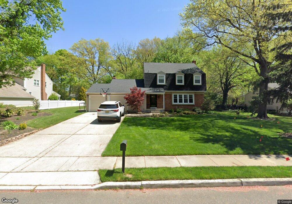
811 Doncaster Dr West Deptford, NJ 08066
West Deptford Township NeighborhoodEstimated Value: $443,000 - $624,000
4
Beds
3
Baths
2,068
Sq Ft
$246/Sq Ft
Est. Value
About This Home
This home is located at 811 Doncaster Dr, West Deptford, NJ 08066 and is currently estimated at $508,482, approximately $245 per square foot. 811 Doncaster Dr is a home located in Gloucester County with nearby schools including Green-Fields Elementary School, Red Bank Elementary School, and Oakview Elementary School.
Ownership History
Date
Name
Owned For
Owner Type
Purchase Details
Closed on
Jun 15, 2009
Sold by
Love Eric M and Love Jill D
Bought by
Walker James E and Walker Kelly
Current Estimated Value
Home Financials for this Owner
Home Financials are based on the most recent Mortgage that was taken out on this home.
Original Mortgage
$222,500
Outstanding Balance
$141,787
Interest Rate
4.93%
Mortgage Type
Purchase Money Mortgage
Estimated Equity
$366,695
Purchase Details
Closed on
Oct 25, 1993
Sold by
Morrow Raymond J
Bought by
Long Eric M and Long Jill D
Home Financials for this Owner
Home Financials are based on the most recent Mortgage that was taken out on this home.
Original Mortgage
$145,000
Interest Rate
6.73%
Create a Home Valuation Report for This Property
The Home Valuation Report is an in-depth analysis detailing your home's value as well as a comparison with similar homes in the area
Home Values in the Area
Average Home Value in this Area
Purchase History
| Date | Buyer | Sale Price | Title Company |
|---|---|---|---|
| Walker James E | $322,500 | Group 21 Title Agency | |
| Long Eric M | $153,000 | -- |
Source: Public Records
Mortgage History
| Date | Status | Borrower | Loan Amount |
|---|---|---|---|
| Open | Walker James E | $222,500 | |
| Previous Owner | Long Eric M | $145,000 |
Source: Public Records
Tax History Compared to Growth
Tax History
| Year | Tax Paid | Tax Assessment Tax Assessment Total Assessment is a certain percentage of the fair market value that is determined by local assessors to be the total taxable value of land and additions on the property. | Land | Improvement |
|---|---|---|---|---|
| 2025 | $9,910 | $283,800 | $70,200 | $213,600 |
| 2024 | $9,783 | $283,800 | $70,200 | $213,600 |
| 2023 | $9,783 | $283,800 | $70,200 | $213,600 |
| 2022 | $9,737 | $283,800 | $70,200 | $213,600 |
| 2021 | $9,703 | $283,800 | $70,200 | $213,600 |
| 2020 | $9,680 | $283,800 | $70,200 | $213,600 |
| 2019 | $9,411 | $283,800 | $70,200 | $213,600 |
| 2018 | $9,155 | $283,800 | $70,200 | $213,600 |
| 2017 | $8,943 | $283,800 | $70,200 | $213,600 |
| 2016 | $8,693 | $283,800 | $70,200 | $213,600 |
| 2015 | $8,281 | $283,800 | $70,200 | $213,600 |
| 2014 | $7,870 | $283,800 | $70,200 | $213,600 |
Source: Public Records
Map
Nearby Homes
- 863 Doncaster Dr
- 740 Carter Hill Dr
- 640 Worcester Dr
- 87 Woodway Dr Unit 87
- 1102 Barnesdale Rd
- 16 Maplewood Ct
- 1220 Royal Ln
- 1311 Barnesdale Rd
- 12 Highbridge Ln Unit I2
- 125 Lionheart Ln Unit C125
- 4 Saint Emilion Ct
- 1810 Fernwood Dr
- 1091 Buckingham Dr Unit 45
- 1012 Moore Rd Unit 6
- 1066 Buckingham Dr
- 64 Tilden Rd
- 97 Church St
- 433 Crown Point Rd
- 558 Prince St
- 439 Crown Point Rd
- 819 Doncaster Dr
- 803 Doncaster Dr
- 1173 Ollerton Rd
- 825 Doncaster Dr
- 1201 Ollerton Rd
- 1167 Ollerton Rd
- 833 Doncaster Dr
- 1205 Ollerton Rd
- 1212 Doncaster Ct
- 1186 Ollerton Rd
- 1180 Ollerton Rd
- 791 Carter Hill Dr
- 1174 Ollerton Rd
- 1161 Ollerton Rd
- 834 Doncaster Dr
- 839 Doncaster Dr
- 1215 Ollerton Rd
- 1164 Ollerton Rd
- 785 Carter Hill Dr
- 1216 Doncaster Ct