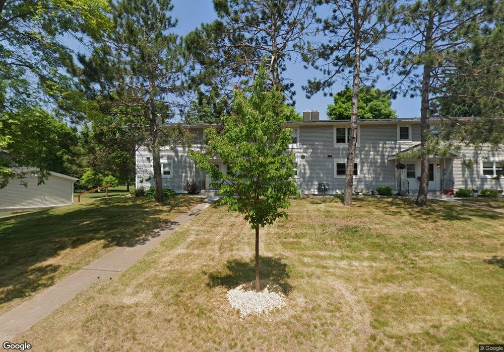
811 Hamilton Dr Unit 30B Duluth, MN 55811
Kenwood NeighborhoodEstimated Value: $231,000 - $255,000
About This Home
This home is located at 811 Hamilton Dr Unit 30B, Duluth, MN 55811 and is currently estimated at $244,503, approximately $212 per square foot. 811 Hamilton Dr Unit 30B is a home located in St. Louis County with nearby schools including Lowell Elementary School, Lincoln Park Middle School, and Denfeld High School.
Ownership History
We collect this data history from publicly available records. To have your information removed, we recommend requesting removal directly through your county’s website.
Purchase Details
Home Values in the Area
Average Home Value in this Area
Purchase History
We collect this data history from publicly available records. To have your information removed, we recommend requesting removal directly through your county’s website.
| Date | Buyer | Sale Price | Title Company |
|---|---|---|---|
| $115,000 | Arrowhead Abstract & Title C |
Tax History
We collect this data history from publicly available records. To have your information removed, we recommend requesting removal directly through your county’s website.
| Year | Tax Paid | Tax Assessment Tax Assessment Total Assessment is a certain percentage of the fair market value that is determined by local assessors to be the total taxable value of land and additions on the property. | Land | Improvement |
|---|---|---|---|---|
| 2024 | $3,222 | $224,400 | $22,000 | $202,400 |
| 2023 | $3,090 | $205,800 | $22,000 | $183,800 |
| 2022 | $2,264 | $174,400 | $21,300 | $153,100 |
| 2021 | $2,218 | $136,400 | $20,500 | $115,900 |
| 2020 | $2,038 | $136,400 | $20,500 | $115,900 |
| 2019 | $1,886 | $122,100 | $18,400 | $103,700 |
| 2018 | $1,764 | $113,300 | $18,000 | $95,300 |
| 2017 | $1,752 | $113,300 | $18,000 | $95,300 |
| 2016 | $1,710 | $112,600 | $18,000 | $94,600 |
| 2015 | $1,588 | $102,600 | $17,300 | $85,300 |
| 2014 | $1,588 | $102,600 | $17,300 | $85,300 |
Map
- 902 Madison Ave Unit 902
- 1944 Chinook Dr
- 416 Kelly Cir Unit 416
- 306 Kelly Cir Unit 11C
- 2016 Rice Lake Rd
- 2100 W Arrowhead Rd
- 2100 W Arrowhead Rd
- 1804 Rice Lake Rd
- 2917 N Blackman Ave
- 121 W Buffalo St
- 324 Hawkins St
- 1724 Fern Ave
- 1603 N Basswood Ave
- 19 E Buffalo St
- 427 Wildwood Dr
- 20xx Stanford Ave
- 1536 N 8th Ave E
- 1515 N 8th Ave E
- 1428 Fern Ave
- 324 Wildwood Dr
- 817 Hamilton Dr
- 819 Hamilton Dr Unit 29B
- 821 Hamilton Dr Unit 29C
- 823 Hamilton Dr Unit 29D
- 815 Hamilton Dr
- 708 Bong Blvd
- 813 Hamilton Dr Unit 30C
- 706 Bong Blvd
- 826 Hamilton Dr
- 824 Hamilton Dr Unit 32A
- 822 Hamilton Dr
- 830 Hamilton Dr Unit 31B
- 704 Bong Blvd Unit 36C
- 828 Hamilton Dr Unit 31C
- 832 Hamilton Dr Unit 31A
- 809 Hamilton Dr Unit 30A
- 702 Bong Blvd
- 820 Hamilton Dr Unit 32C
- 709 Bong Blvd Unit 28A
- 707 Bong Blvd Unit 37D
Ask me questions while you tour the home.