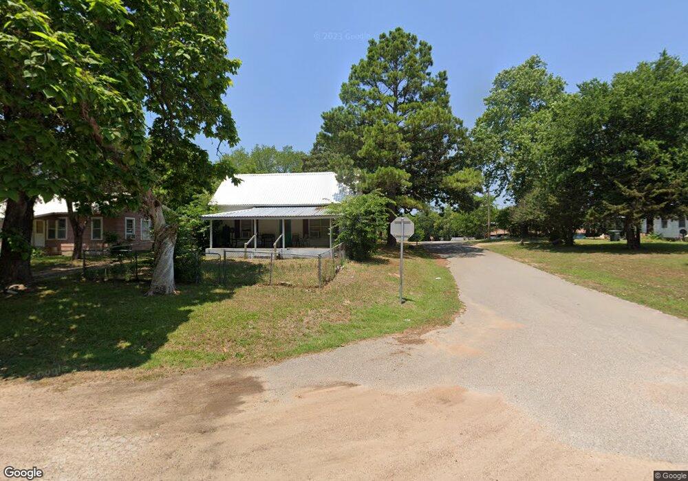
811 N Neshoba St Tishomingo, OK 73460
Estimated Value: $75,434 - $113,000
2
Beds
1
Bath
960
Sq Ft
$101/Sq Ft
Est. Value
About This Home
This home is located at 811 N Neshoba St, Tishomingo, OK 73460 and is currently estimated at $96,609, approximately $100 per square foot. 811 N Neshoba St is a home located in Johnston County with nearby schools including Tishomingo Elementary School, Tishomingo Middle School, and Tishomingo High School.
Ownership History
Date
Name
Owned For
Owner Type
Purchase Details
Closed on
Mar 14, 2018
Sold by
Power Kenneth W and Power Stacy L
Bought by
Hhr Outlaw Group Llc
Current Estimated Value
Purchase Details
Closed on
Aug 19, 2010
Sold by
Smith John H and Smith Barbara K
Bought by
Power Karleen W and Power Stacy L
Purchase Details
Closed on
May 9, 2003
Sold by
Brumfield Hilton
Bought by
Heffington and Heffington Heffington
Purchase Details
Closed on
Nov 7, 1995
Sold by
Dewayne and William Hammon
Bought by
Hilton Brumfield
Create a Home Valuation Report for This Property
The Home Valuation Report is an in-depth analysis detailing your home's value as well as a comparison with similar homes in the area
Home Values in the Area
Average Home Value in this Area
Purchase History
| Date | Buyer | Sale Price | Title Company |
|---|---|---|---|
| Hhr Outlaw Group Llc | $18,000 | None Available | |
| Power Karleen W | $18,500 | -- | |
| Heffington | $8,000 | -- | |
| Hilton Brumfield | $9,000 | -- |
Source: Public Records
Tax History Compared to Growth
Tax History
| Year | Tax Paid | Tax Assessment Tax Assessment Total Assessment is a certain percentage of the fair market value that is determined by local assessors to be the total taxable value of land and additions on the property. | Land | Improvement |
|---|---|---|---|---|
| 2024 | $274 | $3,009 | $300 | $2,709 |
| 2023 | $274 | $2,865 | $300 | $2,565 |
| 2022 | $241 | $2,729 | $300 | $2,429 |
| 2021 | $183 | $2,599 | $300 | $2,299 |
| 2020 | $179 | $2,475 | $300 | $2,175 |
| 2019 | $175 | $2,357 | $300 | $2,057 |
| 2018 | $184 | $2,435 | $300 | $2,135 |
| 2017 | $167 | $2,220 | $426 | $1,794 |
| 2016 | $168 | $2,220 | $426 | $1,794 |
| 2015 | $172 | $2,220 | $426 | $1,794 |
| 2014 | $152 | $2,220 | $426 | $1,794 |
Source: Public Records
Map
Nearby Homes
- 000 N Highway 48 Hwy
- 301 N Maytubby St
- 203 N Broadway St
- 1500 E Hankins Ln
- 108 Deadwood Dr
- 55 Tumbleweed Trail
- 59 Tombstone Trail
- 104 N Johnston St
- 306 S Kemp Ave
- 506 E Neil Armstrong Place
- 6 Brandy Ln
- 5 Brandy Ln
- 0 Elk Rd Unit 2525852
- 1334 N Kemp Ave
- 209 S Muldrow St
- 0 Elks Rd Unit 2525848
- 0000 N 3550 Rd
- 1429 Easy St
- 1427 Easy St
- 1431 Easy St
- 809 N Neshoba St
- 202 W 2nd St
- 807 N Neshoba St
- 901 N Neshoba St
- 808 N Kemp Ave
- 805 N Neshoba St
- 903 N Neshoba St
- 902 N Kemp Ave
- 900 N Neshoba St
- 803 N Neshoba St
- 905 N Neshoba St
- 902 N Neshoba St
- 801 N Neshoba St
- 1004 N Kemp Ave
- 904 N Neshoba St
- 907 N Neshoba St
- 803 N Broadway St
- 800 N Kemp Ave
- 901 N Broadway St
- 805 N Kemp Ave