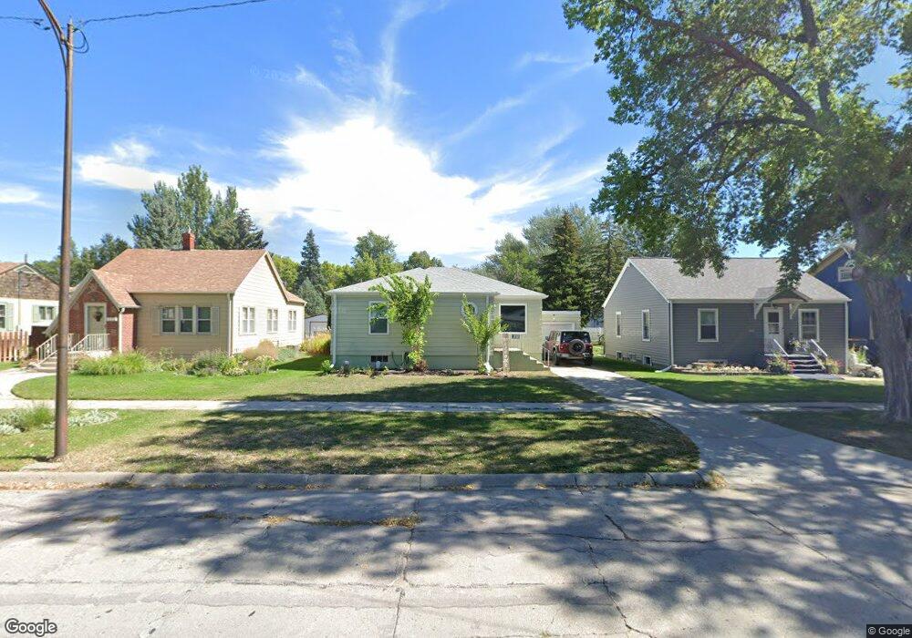
811 Platte Ave Alliance, NE 69301
Estimated Value: $85,000 - $149,000
2
Beds
1
Bath
1,136
Sq Ft
$96/Sq Ft
Est. Value
About This Home
This home is located at 811 Platte Ave, Alliance, NE 69301 and is currently estimated at $109,276, approximately $96 per square foot. 811 Platte Ave is a home located in Box Butte County with nearby schools including Alliance High School, St. Agnes Academy, and Immanuel Evangelical Lutheran School.
Ownership History
Date
Name
Owned For
Owner Type
Purchase Details
Closed on
Nov 30, 2023
Sold by
Reynolds Benjamin D
Bought by
Lauder Brett
Current Estimated Value
Purchase Details
Closed on
May 12, 2023
Sold by
Reynolds Ryan L
Bought by
Reynolds Benjamin D
Purchase Details
Closed on
Oct 1, 2009
Sold by
Reynolds Erin K
Bought by
Reynolds Ryan L
Create a Home Valuation Report for This Property
The Home Valuation Report is an in-depth analysis detailing your home's value as well as a comparison with similar homes in the area
Home Values in the Area
Average Home Value in this Area
Purchase History
| Date | Buyer | Sale Price | Title Company |
|---|---|---|---|
| Lauder Brett | -- | Dawes County Abstract & Title | |
| Reynolds Benjamin D | -- | Kunzman Title | |
| Reynolds Ryan L | -- | -- | |
| Reynolds Ryan L | -- | -- |
Source: Public Records
Tax History
| Year | Tax Paid | Tax Assessment Tax Assessment Total Assessment is a certain percentage of the fair market value that is determined by local assessors to be the total taxable value of land and additions on the property. | Land | Improvement |
|---|---|---|---|---|
| 2025 | $615 | $51,784 | $6,930 | $44,854 |
| 2024 | $334 | $26,690 | $6,300 | $20,390 |
| 2023 | $459 | $26,690 | $6,300 | $20,390 |
| 2022 | $2,138 | $117,430 | $5,950 | $111,480 |
| 2021 | $2,165 | $117,430 | $5,950 | $111,480 |
| 2020 | $2,159 | $117,430 | $5,950 | $111,480 |
| 2019 | $2,108 | $117,430 | $5,950 | $111,480 |
| 2018 | $2,098 | $117,430 | $5,950 | $111,480 |
| 2017 | $1,375 | $74,086 | $4,550 | $69,536 |
| 2016 | $1,359 | $74,086 | $4,550 | $69,536 |
| 2015 | $1,414 | $70,150 | $4,550 | $65,600 |
| 2014 | $1,414 | $73,215 | $4,550 | $68,665 |
Source: Public Records
Map
Nearby Homes
- 616 Emerson Ave
- 819 Black Hills Ave
- 823 Emerson Ave
- 719 Toluca Ave
- 936 Platte Ave
- 624 W 5th St
- 928 Black Hills Ave
- 601 Big Horn Ave
- 408 Toluca Ave
- 506 Cheyenne Ave
- 413 Big Horn Ave
- 1021 Dakota Ave
- 114 W 8th St
- 1103 Cheyenne Ave
- 1007 Laramie Ave
- 1232 Emerson Ave
- 122 W 4th St
- 1232 Cheyenne Ave
- 112 E 11th St
- 808 Missouri Ave
- 807 Platte Ave
- 815 Platte Ave
- 801 Platte Ave
- 819 Platte Ave
- 823 Platte Ave
- 812 Emerson Ave
- 816 Emerson Ave
- 804 Emerson Ave
- 824 Emerson Ave
- 812 Platte Ave
- 808 Platte Ave
- 816 Platte Ave
- 723 Platte Ave
- 804 Platte Ave
- 820 Platte Ave
- 824 Platte Ave
- 903 Platte Ave
- 724 Emerson Ave
- 719 Platte Ave
- 610 W 9th St
Your Personal Tour Guide
Ask me questions while you tour the home.