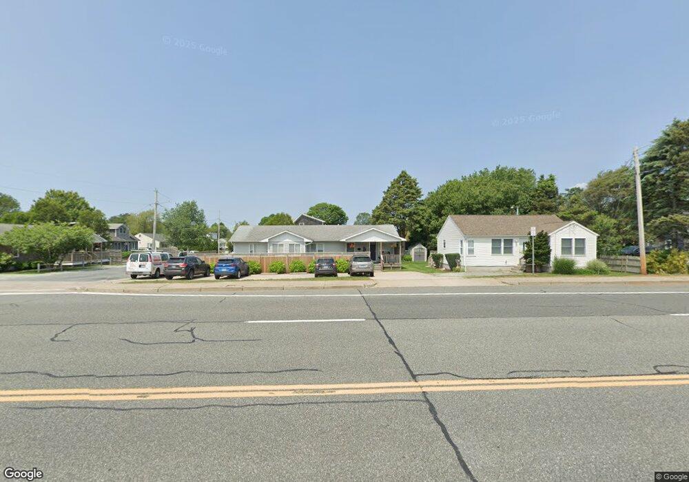
811 Point Judith Rd Narragansett, RI 02882
Estimated Value: $700,000 - $854,000
4
Beds
2
Baths
1,452
Sq Ft
$520/Sq Ft
Est. Value
About This Home
This home is located at 811 Point Judith Rd, Narragansett, RI 02882 and is currently estimated at $754,745, approximately $519 per square foot. 811 Point Judith Rd is a home located in Washington County with nearby schools including Narragansett Elementary School, Narragansett Pier Middle School, and Narragansett High School.
Ownership History
Date
Name
Owned For
Owner Type
Purchase Details
Closed on
May 31, 2005
Sold by
Lee Robert P
Bought by
Durkin James P and Durkin Rebecca H
Current Estimated Value
Home Financials for this Owner
Home Financials are based on the most recent Mortgage that was taken out on this home.
Original Mortgage
$281,250
Outstanding Balance
$148,527
Interest Rate
5.94%
Mortgage Type
Purchase Money Mortgage
Estimated Equity
$606,218
Create a Home Valuation Report for This Property
The Home Valuation Report is an in-depth analysis detailing your home's value as well as a comparison with similar homes in the area
Home Values in the Area
Average Home Value in this Area
Purchase History
| Date | Buyer | Sale Price | Title Company |
|---|---|---|---|
| Durkin James P | $375,000 | -- |
Source: Public Records
Mortgage History
| Date | Status | Borrower | Loan Amount |
|---|---|---|---|
| Open | Durkin James P | $281,250 |
Source: Public Records
Tax History Compared to Growth
Tax History
| Year | Tax Paid | Tax Assessment Tax Assessment Total Assessment is a certain percentage of the fair market value that is determined by local assessors to be the total taxable value of land and additions on the property. | Land | Improvement |
|---|---|---|---|---|
| 2024 | $3,380 | $516,000 | $211,700 | $304,300 |
| 2023 | $2,749 | $295,300 | $117,700 | $177,600 |
| 2022 | $2,658 | $295,300 | $117,700 | $177,600 |
| 2021 | $2,616 | $295,300 | $117,700 | $177,600 |
| 2020 | $2,474 | $236,100 | $85,900 | $150,200 |
| 2019 | $2,415 | $236,100 | $85,900 | $150,200 |
| 2018 | $2,349 | $236,100 | $85,900 | $150,200 |
| 2017 | $2,049 | $194,000 | $79,600 | $114,400 |
| 2016 | $1,956 | $194,000 | $79,600 | $114,400 |
| 2015 | $1,928 | $194,000 | $79,600 | $114,400 |
| 2014 | $2,107 | $209,900 | $95,500 | $114,400 |
Source: Public Records
Map
Nearby Homes
- 45 Durkin Dr
- 16 Newport Ln
- 31 E Pond Rd
- 18 Greenbrier Rd
- 64 Burnside Ave
- 27 Foster Ln
- 660 Point Judith Rd Unit D2
- 1044 Ocean Rd
- 1046 Ocean Rd
- 17 Goose Island Rd
- 41 Fox Dr
- 20 Marine Dr
- 576 Point Judith Rd
- 101 Kenyon Farm Rd
- 0 Daytona Ave
- 0 Houston Ave
- 25 Scallop Shell Rd
- 110 Houston Ave
- 124 Houston Ave
- 24 Redwood Dr
- 809 Point Judith Rd
- 7 Durkin Dr
- 4 Durkin Dr
- 805 Point Judith Rd
- 6 Durkin Dr
- 812 Point Judith Rd
- 819 Point Judith Rd Unit 821
- 820 Point Judith Rd Unit 2
- 820 Point Judith Rd Unit 1
- 10 Durkin Dr
- 111 Angell Rd
- 801 Point Judith Rd
- 15 Durkin Dr
- 112 Angell Rd
- 12 Durkin Dr
- 5 James St
- 823 Point Judith Rd
- 7 James St
- 110 Angell Rd
- 808 Point Judith Rd