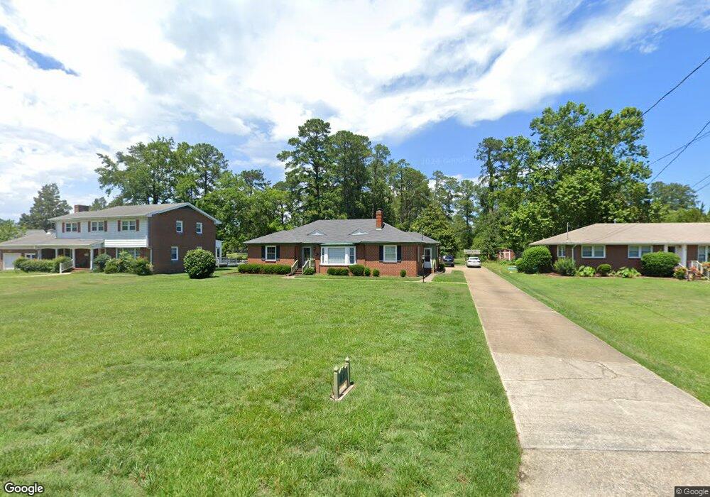
811 Poquoson Ave Poquoson, VA 23662
Poquoson West NeighborhoodEstimated Value: $470,050 - $547,000
3
Beds
2
Baths
2,146
Sq Ft
$240/Sq Ft
Est. Value
About This Home
This home is located at 811 Poquoson Ave, Poquoson, VA 23662 and is currently estimated at $514,263, approximately $239 per square foot. 811 Poquoson Ave is a home located in Poquoson City with nearby schools including Emmanuel Lutheran School, Living Word Academy, and Summit Christian Academy - Upper School.
Ownership History
Date
Name
Owned For
Owner Type
Purchase Details
Closed on
Jul 13, 2022
Sold by
Powell Page Danny
Bought by
Jones Brian
Current Estimated Value
Home Financials for this Owner
Home Financials are based on the most recent Mortgage that was taken out on this home.
Original Mortgage
$403,750
Outstanding Balance
$384,584
Interest Rate
5.23%
Mortgage Type
New Conventional
Estimated Equity
$129,679
Create a Home Valuation Report for This Property
The Home Valuation Report is an in-depth analysis detailing your home's value as well as a comparison with similar homes in the area
Home Values in the Area
Average Home Value in this Area
Purchase History
| Date | Buyer | Sale Price | Title Company |
|---|---|---|---|
| Jones Brian | $425,000 | Old Republic Title |
Source: Public Records
Mortgage History
| Date | Status | Borrower | Loan Amount |
|---|---|---|---|
| Open | Jones Brian | $403,750 |
Source: Public Records
Tax History Compared to Growth
Tax History
| Year | Tax Paid | Tax Assessment Tax Assessment Total Assessment is a certain percentage of the fair market value that is determined by local assessors to be the total taxable value of land and additions on the property. | Land | Improvement |
|---|---|---|---|---|
| 2024 | $4,764 | $417,900 | $109,200 | $308,700 |
| 2023 | $4,639 | $417,900 | $109,200 | $308,700 |
| 2022 | $4,206 | $372,200 | $109,200 | $263,000 |
| 2021 | $4,206 | $372,200 | $109,200 | $263,000 |
| 2020 | -- | $349,200 | $109,200 | $240,000 |
| 2019 | -- | $349,200 | $109,200 | $240,000 |
| 2018 | -- | $337,700 | $109,200 | $228,500 |
| 2017 | -- | $324,200 | $107,100 | $217,100 |
| 2016 | -- | $324,200 | $107,100 | $217,100 |
| 2015 | -- | $324,200 | $107,100 | $217,100 |
| 2013 | -- | $324,200 | $107,100 | $217,100 |
Source: Public Records
Map
Nearby Homes
- 62 Rens Rd
- 21 Rens Rd
- 6 Lessies Dr
- 7 Quail Cove
- 1.55ac Holloway Rd
- 10 Kathy Dr
- 718C Poquoson Ave
- 105 Rens Rd Unit 30
- 105 Rens Rd Unit 2
- 105 Rens Rd Unit 74
- 105 Rens Rd Unit Lot 48
- 208 Little Florida Rd
- 15 Robert Bruce Rd
- 35 River Rd
- 29 River Rd
- 15+AC Browns Neck Rd
- 1 Smith St
- 1 Phillips Rd
- 129 Robert Bruce Rd
- 1020 Poquoson Ave
- 809 Poquoson Ave
- 813 Poquoson Ave
- 801 Poquoson Ave
- 810 Poquoson Ave
- 799 Poquoson Ave
- 814 Poquoson Ave
- 812 Poquoson Ave
- 796 Poquoson Ave
- 806 Poquoson Ave
- 825 Poquoson Ave
- 795 Poquoson Ave
- 797 Poquoson Ave
- 15 Odd Rd
- 791 Poquoson Ave
- 40 Rens Rd
- 831 Poquoson Ave
- 44 Rens Rd
- 789 Poquoson Ave
- 789 Poquoson Ave
- 789 Poquoson Ave