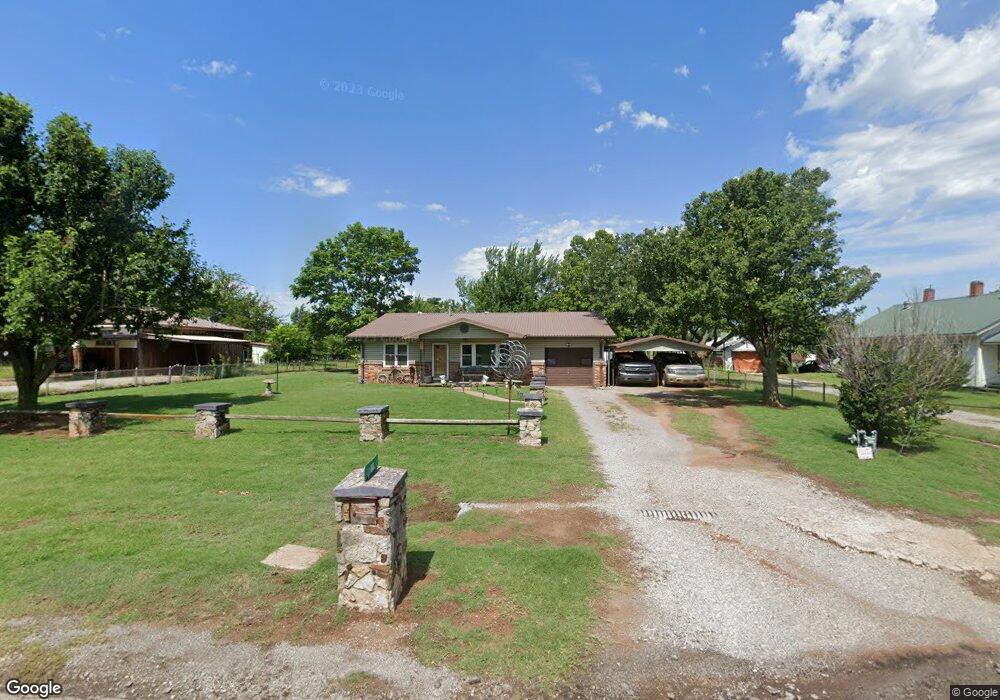
811 S Myers Rd Apache, OK 73006
Estimated Value: $96,000 - $156,000
3
Beds
2
Baths
1,596
Sq Ft
$76/Sq Ft
Est. Value
About This Home
This home is located at 811 S Myers Rd, Apache, OK 73006 and is currently estimated at $121,068, approximately $75 per square foot. 811 S Myers Rd is a home with nearby schools including Apache Elementary School, Apache Middle School, and Apache High School.
Ownership History
Date
Name
Owned For
Owner Type
Purchase Details
Closed on
Apr 30, 2010
Sold by
Sawyer Stacy D and Sawyer Lowanna
Bought by
Edgar Denton A and Edgar Rebecca L
Current Estimated Value
Home Financials for this Owner
Home Financials are based on the most recent Mortgage that was taken out on this home.
Original Mortgage
$83,870
Outstanding Balance
$56,115
Interest Rate
5.25%
Mortgage Type
FHA
Estimated Equity
$64,953
Purchase Details
Closed on
Aug 10, 2004
Purchase Details
Closed on
Mar 26, 2004
Purchase Details
Closed on
Feb 17, 2004
Purchase Details
Closed on
Dec 2, 1999
Purchase Details
Closed on
Dec 26, 1996
Purchase Details
Closed on
Jul 18, 1995
Create a Home Valuation Report for This Property
The Home Valuation Report is an in-depth analysis detailing your home's value as well as a comparison with similar homes in the area
Purchase History
| Date | Buyer | Sale Price | Title Company |
|---|---|---|---|
| Edgar Denton A | $85,000 | -- | |
| -- | $65,000 | -- | |
| -- | -- | -- | |
| -- | -- | -- | |
| -- | -- | -- | |
| -- | -- | -- | |
| -- | -- | -- |
Source: Public Records
Mortgage History
| Date | Status | Borrower | Loan Amount |
|---|---|---|---|
| Open | Edgar Denton A | $83,870 |
Source: Public Records
Tax History
| Year | Tax Paid | Tax Assessment Tax Assessment Total Assessment is a certain percentage of the fair market value that is determined by local assessors to be the total taxable value of land and additions on the property. | Land | Improvement |
|---|---|---|---|---|
| 2025 | $512 | $6,400 | $428 | $5,972 |
| 2024 | $513 | $5,903 | $416 | $5,487 |
| 2023 | $478 | $5,732 | $416 | $5,316 |
| 2022 | $418 | $5,565 | $416 | $5,149 |
| 2021 | $509 | $5,403 | $416 | $4,987 |
| 2020 | $426 | $5,245 | $416 | $4,829 |
| 2019 | $418 | $5,093 | $416 | $4,677 |
| 2018 | $452 | $5,093 | $416 | $4,677 |
| 2017 | $428 | $5,093 | $416 | $4,677 |
| 2016 | $437 | $5,092 | $416 | $4,677 |
| 2015 | $365 | $5,093 | $416 | $4,677 |
| 2014 | $379 | $5,093 | $416 | $4,677 |
Source: Public Records
Map
Nearby Homes
- 105 London Dr
- 223 Oak St
- TBD Highway 281
- TBD U S Highway 62
- 301 E Mckinley Ave
- TBD 2580
- TBD NE King Rd
- 1100 NE King Rd
- 124 Ellsworth Dr
- 207 N Hillside Rd
- 116 N Lakeside Dr
- 115 N Brookdale
- 120 NE Kiowa Rd
- TBD Hilltop Rd
- 13145 NE Clearwater Cir
- 21168 County Road 1480
- 7655 Northgate Dr
- 108 London Dr
- 104 London Dr
- 344 NE Wichita Meadows Ln
Your Personal Tour Guide
Ask me questions while you tour the home.