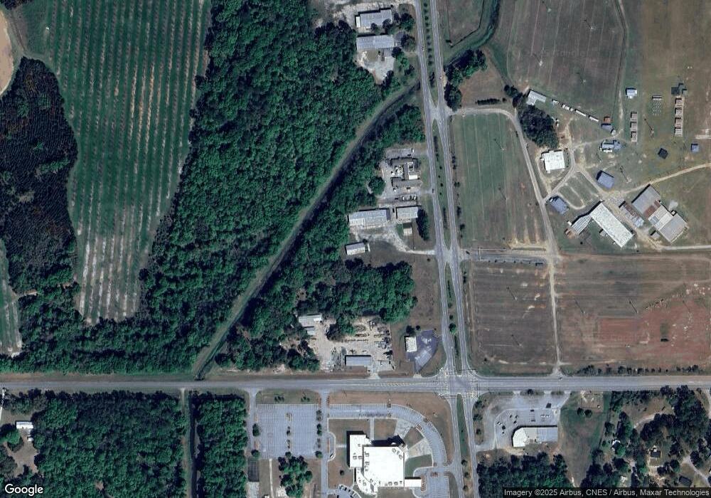
811 S Westover Blvd Albany, GA 31707
Estimated Value: $438,061
--
Bed
--
Bath
1,114
Sq Ft
$393/Sq Ft
Est. Value
About This Home
This home is located at 811 S Westover Blvd, Albany, GA 31707 and is currently estimated at $438,061, approximately $393 per square foot. 811 S Westover Blvd is a home located in Dougherty County with nearby schools including West Town Elementary School, Southside Middle School, and Monroe High School.
Ownership History
Date
Name
Owned For
Owner Type
Purchase Details
Closed on
Sep 30, 2022
Sold by
Andrew Kenneth S
Bought by
Shayeb Talal and Shayeb Walid
Current Estimated Value
Purchase Details
Closed on
Dec 20, 1990
Sold by
Tcf Asset Management
Bought by
Andrew Kenneth S
Purchase Details
Closed on
Dec 28, 1988
Sold by
Borg-Warner Acceptan
Bought by
Tcf Asset Mgmt Corp
Purchase Details
Closed on
Jun 26, 1987
Sold by
Rich Wayne
Bought by
Borg-Warner Corp
Create a Home Valuation Report for This Property
The Home Valuation Report is an in-depth analysis detailing your home's value as well as a comparison with similar homes in the area
Home Values in the Area
Average Home Value in this Area
Purchase History
| Date | Buyer | Sale Price | Title Company |
|---|---|---|---|
| Shayeb Talal | $375,000 | -- | |
| Andrew Kenneth S | $236,000 | -- | |
| Tcf Asset Mgmt Corp | -- | -- | |
| Borg-Warner Corp | -- | -- |
Source: Public Records
Tax History Compared to Growth
Tax History
| Year | Tax Paid | Tax Assessment Tax Assessment Total Assessment is a certain percentage of the fair market value that is determined by local assessors to be the total taxable value of land and additions on the property. | Land | Improvement |
|---|---|---|---|---|
| 2024 | $5,212 | $109,240 | $43,720 | $65,520 |
| 2023 | $5,090 | $109,240 | $43,720 | $65,520 |
| 2022 | $5,108 | $109,240 | $43,720 | $65,520 |
| 2021 | $4,736 | $109,240 | $43,720 | $65,520 |
| 2020 | $4,747 | $109,240 | $43,720 | $65,520 |
| 2019 | $4,765 | $109,240 | $43,720 | $65,520 |
| 2018 | $4,785 | $109,240 | $43,720 | $65,520 |
| 2017 | $4,458 | $109,240 | $43,720 | $65,520 |
| 2016 | $4,460 | $109,240 | $43,720 | $65,520 |
| 2015 | $4,473 | $109,240 | $43,720 | $65,520 |
| 2014 | $4,416 | $109,240 | $43,720 | $65,520 |
Source: Public Records
Map
Nearby Homes
- 1825 W Oakridge Dr
- 2303 Joel Dr
- 604 Shamrock Dr
- 3006 Harvest Ln
- 2915 Autumn Ave
- 1029 Davidson Dr
- 906 Lockett Station Rd
- 902 Lockett Station Rd
- 838 Lockett Station Rd
- 834 Lockett Station Rd
- 1104 University St
- 2102 Techwood Dr
- 1003 University St
- 3019 Winterwood Ave
- 2101 Goldendale Ln
- 219 Lockett Station Rd
- 501 Endicott Ln
- 2307 Evergreen Dr
- 2013 Jones Ave
- 410 Endicott Ln
- 730 S Westover Blvd
- 2001 W Oakridge Dr
- 2200 W Oakridge Dr
- 2204 W Oakridge Dr
- 635 S Westover Blvd
- 632 S Westover Blvd
- 1915 W Oakridge Dr
- 633 S Westover Blvd
- 629 S Westover Blvd
- 628 S Westover Blvd
- 627 S Westover Blvd
- 2520 Old Jim Davis Rd
- 0 S Westover Blvd
- 621 S Westover Blvd
- 1826 W Oakridge Dr
- 2602 Old Jim Davis Rd
- 2604 Old Jim Davis Rd
- 2606 Old Jim Davis Rd
- 2610 Old Jim Davis Rd
- 2504 Old Jim Davis Rd
