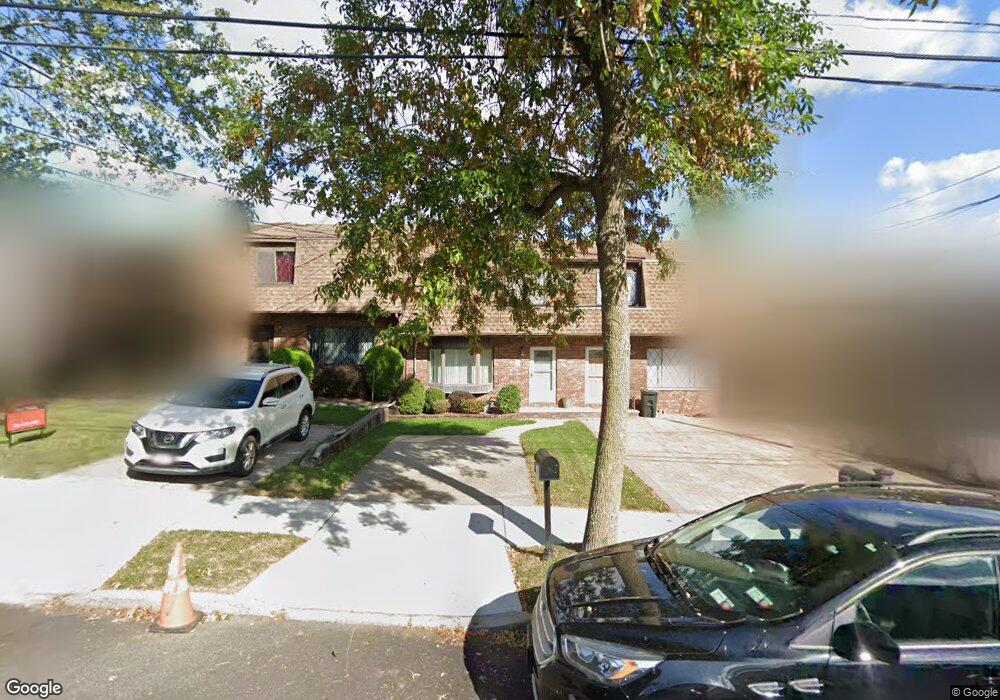
811 Stafford Ave Staten Island, NY 10309
Woodrow NeighborhoodEstimated Value: $569,939 - $675,000
--
Bed
4
Baths
1,120
Sq Ft
$570/Sq Ft
Est. Value
About This Home
This home is located at 811 Stafford Ave, Staten Island, NY 10309 and is currently estimated at $637,985, approximately $569 per square foot. 811 Stafford Ave is a home located in Richmond County with nearby schools including P.S. 36 - J.C. Drumgoole, I.S. 075 Frank D. Paulo, and Tottenville High School.
Ownership History
Date
Name
Owned For
Owner Type
Purchase Details
Closed on
Dec 22, 1998
Sold by
Rairden Neal L and Rairden Alexandra
Bought by
Herman Kenneth S and Herman Barbara
Current Estimated Value
Home Financials for this Owner
Home Financials are based on the most recent Mortgage that was taken out on this home.
Original Mortgage
$162,900
Outstanding Balance
$36,651
Interest Rate
6.67%
Estimated Equity
$601,334
Create a Home Valuation Report for This Property
The Home Valuation Report is an in-depth analysis detailing your home's value as well as a comparison with similar homes in the area
Home Values in the Area
Average Home Value in this Area
Purchase History
| Date | Buyer | Sale Price | Title Company |
|---|---|---|---|
| Herman Kenneth S | $181,000 | Lawyers Title Insurance Corp |
Source: Public Records
Mortgage History
| Date | Status | Borrower | Loan Amount |
|---|---|---|---|
| Open | Herman Kenneth S | $162,900 |
Source: Public Records
Tax History Compared to Growth
Tax History
| Year | Tax Paid | Tax Assessment Tax Assessment Total Assessment is a certain percentage of the fair market value that is determined by local assessors to be the total taxable value of land and additions on the property. | Land | Improvement |
|---|---|---|---|---|
| 2025 | $5,883 | $35,400 | $6,238 | $29,162 |
| 2024 | $5,883 | $35,580 | $5,927 | $29,653 |
| 2023 | $5,949 | $29,290 | $6,288 | $23,002 |
| 2022 | $5,446 | $32,580 | $7,200 | $25,380 |
| 2021 | $5,399 | $31,320 | $7,200 | $24,120 |
| 2020 | $5,114 | $30,600 | $7,200 | $23,400 |
| 2019 | $4,813 | $30,780 | $7,200 | $23,580 |
| 2018 | $4,678 | $24,408 | $6,077 | $18,331 |
| 2017 | $4,579 | $23,932 | $7,197 | $16,735 |
| 2016 | $4,204 | $22,578 | $6,842 | $15,736 |
| 2015 | $3,598 | $21,300 | $7,020 | $14,280 |
| 2014 | $3,598 | $20,340 | $7,020 | $13,320 |
Source: Public Records
Map
Nearby Homes
- 880 Sinclair Ave
- 839 Sinclair Ave
- 816 Sinclair Ave
- 859 Rathbun Ave
- 104 Wieland Ave
- 106 Wieland Ave
- 108 Wieland Ave
- 1272 Woodrow Rd
- 727 Stafford Ave
- 973 Sheldon Ave
- 960 Rensselaer Ave
- 142 Wieland Ave
- 30 Alverson Loop
- 0 Woodrow Rd
- 980 Rensselaer Ave
- 559 Alverson Ave
- 703 Marcy Ave
- 629 Marcy Ave
- 859 Lamont Ave
- 735 Sheldon Ave
- 815 Stafford Ave
- 809 Stafford Ave
- 807 Stafford Ave
- 817 Stafford Ave
- 805 Stafford Ave
- 801 Stafford Ave
- 821 Stafford Ave
- 100 Ramapo Ave
- 96 Ramapo Ave
- 799 Stafford Ave
- 110 Ramapo Ave
- 94 Ramapo Ave
- 797 Stafford Ave
- 92 Ramapo Ave
- 90 Ramapo Ave
- 810 Stafford Ave
- 795 Stafford Ave
- 814 Stafford Ave
- 806 Stafford Ave
- 816 Stafford Ave