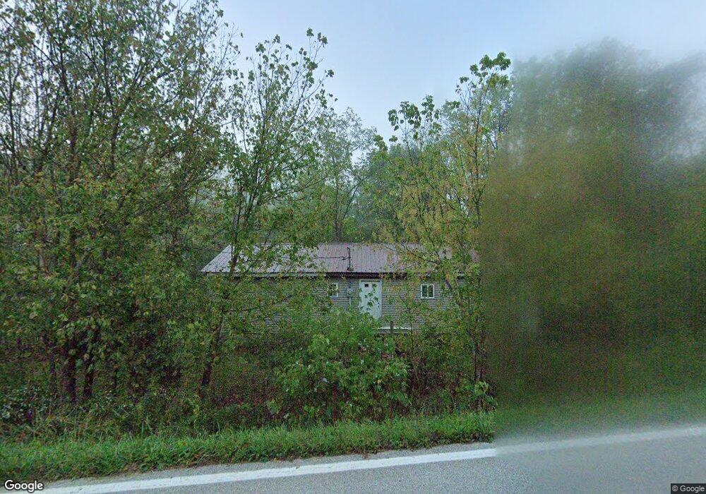
811 State Route 348 West Union, OH 45693
Estimated Value: $72,577 - $209,000
2
Beds
--
Bath
1,152
Sq Ft
$131/Sq Ft
Est. Value
About This Home
This home is located at 811 State Route 348, West Union, OH 45693 and is currently estimated at $150,644, approximately $130 per square foot. 811 State Route 348 is a home located in Adams County with nearby schools including West Union Elementary School and West Union High School.
Ownership History
Date
Name
Owned For
Owner Type
Purchase Details
Closed on
Jul 10, 2007
Sold by
Black Alma
Bought by
Delgrosso David
Current Estimated Value
Purchase Details
Closed on
Aug 1, 2001
Bought by
Delgrosso Robert
Purchase Details
Closed on
May 30, 2001
Sold by
Black Jeffrey L
Bought by
D & J Partnership
Purchase Details
Closed on
Oct 2, 1995
Bought by
Black Jeffrey L
Create a Home Valuation Report for This Property
The Home Valuation Report is an in-depth analysis detailing your home's value as well as a comparison with similar homes in the area
Purchase History
We collect this data history from publicly available records. To have your information removed, we recommend requesting removal directly through your county’s website.
| Date | Buyer | Sale Price | Title Company |
|---|---|---|---|
| Delgrosso David | -- | None Available | |
| Delgrosso Robert | $20,000 | -- | |
| D & J Partnership | $8,000 | -- | |
| Black Jeffrey L | $9,500 | -- |
Source: Public Records
Tax History
| Year | Tax Paid | Tax Assessment Tax Assessment Total Assessment is a certain percentage of the fair market value that is determined by local assessors to be the total taxable value of land and additions on the property. | Land | Improvement |
|---|---|---|---|---|
| 2025 | $427 | $12,570 | $4,240 | $8,330 |
| 2024 | $213 | $12,570 | $4,240 | $8,330 |
| 2023 | $225 | $11,210 | $4,240 | $6,970 |
| 2022 | $380 | $7,950 | $3,150 | $4,800 |
| 2021 | $292 | $4,520 | $3,150 | $1,370 |
| 2020 | $170 | $4,520 | $3,150 | $1,370 |
| 2019 | $170 | $4,520 | $3,150 | $1,370 |
| 2018 | $160 | $4,340 | $3,150 | $1,190 |
| 2017 | $157 | $4,340 | $3,150 | $1,190 |
| 2016 | $157 | $4,340 | $3,150 | $1,190 |
| 2015 | $151 | $4,310 | $2,520 | $1,790 |
| 2014 | $151 | $4,310 | $2,520 | $1,790 |
Source: Public Records
Map
Nearby Homes
- 2424 Tulip Rd
- 191 Cox Rd
- 2375 Poplar Ridge Rd
- 4050 Poplar Ridge Rd
- 1805 Waggoner Riffle Rd
- 189 Hamilton Rd
- 1996 Randalls Run Rd
- 1919 Beasley Fork Rd
- 4702 Brush Creek Rd
- 2603 Cassel Run Rd
- 1478 Robinson Hollow Rd
- 292 Larry Baynum Rd
- Lt 45 Lookout View
- 9727 Ohio 125
- 215 Chesley St
- 467 Waggoner Riffle Rd
- Lt 64 Cemetery Rd
- Lt 62 Cemetery Rd
- Lt 63 Cemetery Rd
- 19004 State Route 41
- 841 State Route 348
- 999 State Route 348
- 890 State Route 348
- 750 State Route 348
- 727 State Route 348
- 727 State Route 348
- 1012 St Rt 348
- 660 State Route 348
- 1179 State Route 348
- 585 State Route 348
- 598 State Route 348
- 545 State Route 348
- 566 State Route 348
- 468 State Route 348
- 1261 State Route 348
- 1350 State Route 348
- 1457 State Route 348
- 1457 Ohio 348
- 380 Weaver Rd
- 622 Holcomb Blvd
Your Personal Tour Guide
Ask me questions while you tour the home.