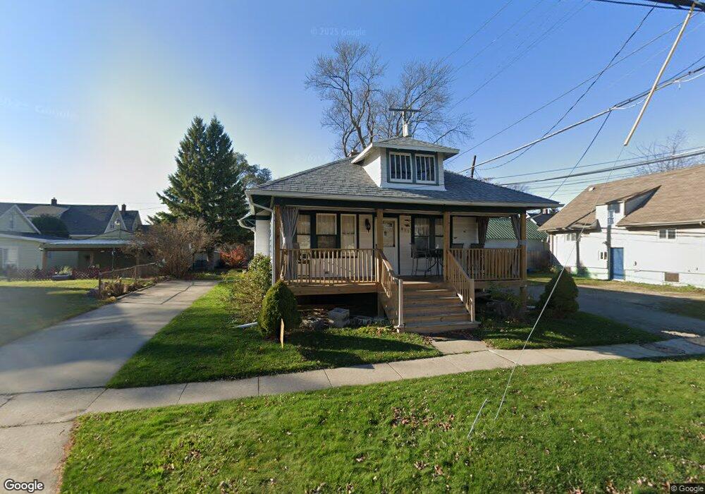
811 Stone St Port Huron, MI 48060
Estimated Value: $95,000 - $109,803
2
Beds
1
Bath
882
Sq Ft
$119/Sq Ft
Est. Value
About This Home
This home is located at 811 Stone St, Port Huron, MI 48060 and is currently estimated at $104,701, approximately $118 per square foot. 811 Stone St is a home located in St. Clair County with nearby schools including H.D. Crull Elementary School, Holland Woods Middle School, and Port Huron Northern High School.
Ownership History
Date
Name
Owned For
Owner Type
Purchase Details
Closed on
Jul 29, 2019
Sold by
Elizabeth Sheldon
Bought by
Sheldon Larry
Current Estimated Value
Purchase Details
Closed on
Oct 16, 2017
Sold by
Donnelly Joseph P and Donnelly Sydelle
Bought by
Sheldon Elizabeth
Purchase Details
Closed on
Mar 4, 2013
Sold by
Donnelly Jean F and Donnelly Joseph P
Bought by
Donnelly Joseph P and Donnelly Sydelle
Purchase Details
Closed on
Dec 13, 2007
Sold by
Donnelly Jean F and Donnelly Hugh F
Bought by
Donnelly Jean F and Donnelly Joseph P
Create a Home Valuation Report for This Property
The Home Valuation Report is an in-depth analysis detailing your home's value as well as a comparison with similar homes in the area
Home Values in the Area
Average Home Value in this Area
Purchase History
| Date | Buyer | Sale Price | Title Company |
|---|---|---|---|
| Sheldon Larry | -- | None Listed On Document | |
| Sheldon Elizabeth | $35,000 | Liberty Title & Escrow | |
| Donnelly Joseph P | -- | None Available | |
| Donnelly Jean F | -- | None Available |
Source: Public Records
Tax History
| Year | Tax Paid | Tax Assessment Tax Assessment Total Assessment is a certain percentage of the fair market value that is determined by local assessors to be the total taxable value of land and additions on the property. | Land | Improvement |
|---|---|---|---|---|
| 2025 | $1,575 | $43,000 | $0 | $0 |
| 2024 | $1,425 | $39,900 | $0 | $0 |
| 2023 | $1,461 | $34,800 | $0 | $0 |
| 2022 | $1,427 | $30,500 | $0 | $0 |
| 2020 | $1,322 | $26,200 | $26,200 | $0 |
| 2019 | $956 | $17,500 | $0 | $0 |
| 2018 | $870 | $17,500 | $0 | $0 |
| 2017 | $1,020 | $16,700 | $0 | $0 |
| 2016 | $899 | $16,700 | $0 | $0 |
| 2015 | $942 | $17,200 | $17,200 | $0 |
| 2014 | $942 | $17,500 | $17,500 | $0 |
| 2013 | -- | $16,800 | $0 | $0 |
Source: Public Records
Map
Nearby Homes
- 917 Saint Clair St
- 1418 Stanton St
- 1018 Erie St
- 805 Pine Grove Ave
- 1134 Water St
- 1509 Lincoln Ave
- 1417 Kearney St
- 443 11th St
- 1203 Varney St
- 432 12th St
- 1103 Miller St
- 1321 Nelson St
- 1102 Lapeer Ave
- 201 Beers St Unit 53
- 201 Beers St Unit 61
- 201 Beers St Unit 44
- 201 Beers St Unit 63
- 201 Beers St Unit 34
- 1433 Poplar St
- 1507 Elk St
- 1110 Stanton St
- 1107 Glenwood Ave #1 2 Ave
- 1107 Glenwood Ave
- 1107 Glenwood Ave Unit 1107 1/2
- 812 Stone St
- 812 Stone St Unit 1
- 812 Stone St Unit 3
- 812 Stone St Unit 2
- 821 Stone St
- 1105 Glenwood Ave
- 1019 Glenwood Ave
- 1115 Glenwood Ave
- 820 Stone St
- 814 Elk St
- 1114 Stanton St
- 818 Elk St
- 1017 Glenwood Ave
- 1117 Glenwood Ave
- 820 Elk St
- 824 Stone St
Your Personal Tour Guide
Ask me questions while you tour the home.