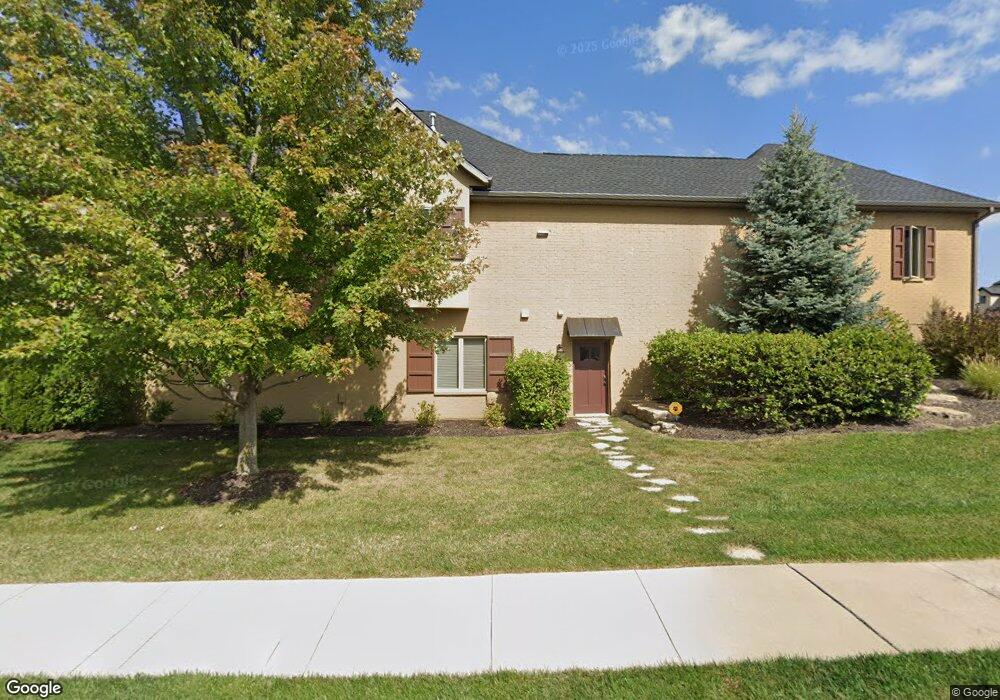
811 Sunstone Ln Columbia, MO 65201
Old Hawthorne NeighborhoodEstimated Value: $542,000 - $655,225
3
Beds
3
Baths
3,100
Sq Ft
$193/Sq Ft
Est. Value
About This Home
This home is located at 811 Sunstone Ln, Columbia, MO 65201 and is currently estimated at $598,613, approximately $193 per square foot. 811 Sunstone Ln is a home located in Boone County with nearby schools including Cedar Ridge Elementary School, Oakland Middle School, and Muriel W. Battle High School.
Ownership History
Date
Name
Owned For
Owner Type
Purchase Details
Closed on
Sep 22, 2010
Sold by
Boone County National Bank
Bought by
Wade Rick L and Wade Marcy J
Current Estimated Value
Home Financials for this Owner
Home Financials are based on the most recent Mortgage that was taken out on this home.
Original Mortgage
$350,000
Outstanding Balance
$231,585
Interest Rate
4.48%
Mortgage Type
VA
Estimated Equity
$367,028
Create a Home Valuation Report for This Property
The Home Valuation Report is an in-depth analysis detailing your home's value as well as a comparison with similar homes in the area
Home Values in the Area
Average Home Value in this Area
Purchase History
| Date | Buyer | Sale Price | Title Company |
|---|---|---|---|
| Wade Rick L | -- | Boone Central Title Company |
Source: Public Records
Mortgage History
| Date | Status | Borrower | Loan Amount |
|---|---|---|---|
| Open | Wade Rick L | $350,000 |
Source: Public Records
Tax History
| Year | Tax Paid | Tax Assessment Tax Assessment Total Assessment is a certain percentage of the fair market value that is determined by local assessors to be the total taxable value of land and additions on the property. | Land | Improvement |
|---|---|---|---|---|
| 2025 | $6,064 | $102,866 | $14,820 | $88,046 |
| 2024 | $6,060 | $89,832 | $14,820 | $75,012 |
| 2023 | $6,010 | $89,832 | $14,820 | $75,012 |
| 2022 | $5,773 | $86,374 | $14,820 | $71,554 |
| 2021 | $5,784 | $86,374 | $14,820 | $71,554 |
| 2020 | $6,155 | $86,374 | $14,820 | $71,554 |
| 2019 | $6,155 | $86,374 | $14,820 | $71,554 |
| 2018 | $6,198 | $0 | $0 | $0 |
| 2017 | $6,123 | $86,374 | $14,820 | $71,554 |
| 2016 | $6,112 | $86,374 | $14,820 | $71,554 |
| 2015 | $5,614 | $86,374 | $14,820 | $71,554 |
| 2014 | $5,632 | $86,374 | $14,820 | $71,554 |
Source: Public Records
Map
Nearby Homes
- 801 Sunstone Ln
- 5624 Lightpost Dr
- 5959 Screaming Eagle Ln
- 5947 Screaming Eagle Ln
- LOT 202 Portrush Dr
- LOT 212 Portrush Dr
- LOT 220 Portrush Dr
- LOT 170 Portrush Dr
- LOT 198 Portrush Dr
- 6105 Ivory Ln
- LOT 310 Overbrook Ct
- 5602 Lightpost Ct
- 1210 Marcassin Dr
- LOT 216 Lightpost Ct
- LOT 173 Cutters Corner Ln
- LOT 172 Cutters Corner Ln
- 6404 Crooked Switch Ct
- 0 Crooked Switch Ct
- 6501 Portrush Dr
- 6406 Crooked Switch Ct
- 809 Sunstone Ln
- 805 Sunstone Ln
- 901 Marcassin Dr
- 808 Sunstone Ln
- 900 Marcassin Dr
- 806 Sunstone Ln
- 804 Sunstone Ln
- 5909 Green Gate Ln
- 907 Marcassin Dr
- 802 Sunstone Ln
- 711 Sunstone Ln
- 5911 Green Gate Ln
- 904 Marcassin Dr
- 800 Sunstone Ln
- 913 Marcassin Dr
- 5806 Lightpost Dr
- 908 Marcassin Dr
- 915 Marcassin Dr
- 707 Sunstone Ln
- 702 Sunstone Ln
Your Personal Tour Guide
Ask me questions while you tour the home.