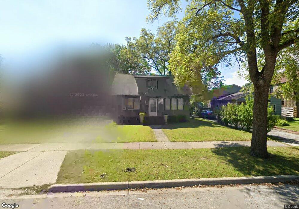
811 W Keith Ave Waukegan, IL 60085
Marquette Highlands NeighborhoodEstimated Value: $170,000 - $263,000
4
Beds
2
Baths
1,584
Sq Ft
$142/Sq Ft
Est. Value
About This Home
This home is located at 811 W Keith Ave, Waukegan, IL 60085 and is currently estimated at $224,965, approximately $142 per square foot. 811 W Keith Ave is a home located in Lake County with nearby schools including Greenwood Elementary School, Edith M Smith Middle School, and Waukegan High School.
Ownership History
Date
Name
Owned For
Owner Type
Purchase Details
Closed on
Sep 11, 2007
Sold by
Wheeler Richard L
Bought by
Jimenez Oracio
Current Estimated Value
Home Financials for this Owner
Home Financials are based on the most recent Mortgage that was taken out on this home.
Original Mortgage
$109,150
Outstanding Balance
$69,424
Interest Rate
6.66%
Mortgage Type
Purchase Money Mortgage
Estimated Equity
$155,541
Purchase Details
Closed on
Jun 22, 2007
Sold by
Grohall Dolores
Bought by
Wheeler Richard L
Create a Home Valuation Report for This Property
The Home Valuation Report is an in-depth analysis detailing your home's value as well as a comparison with similar homes in the area
Home Values in the Area
Average Home Value in this Area
Purchase History
| Date | Buyer | Sale Price | Title Company |
|---|---|---|---|
| Jimenez Oracio | $115,000 | Nat | |
| Wheeler Richard L | $90,000 | None Available |
Source: Public Records
Mortgage History
| Date | Status | Borrower | Loan Amount |
|---|---|---|---|
| Open | Jimenez Oracio | $109,150 |
Source: Public Records
Tax History Compared to Growth
Tax History
| Year | Tax Paid | Tax Assessment Tax Assessment Total Assessment is a certain percentage of the fair market value that is determined by local assessors to be the total taxable value of land and additions on the property. | Land | Improvement |
|---|---|---|---|---|
| 2024 | $4,389 | $60,479 | $9,290 | $51,189 |
| 2023 | $4,160 | $54,544 | $8,378 | $46,166 |
| 2022 | $4,160 | $48,558 | $6,973 | $41,585 |
| 2021 | $3,897 | $43,376 | $6,219 | $37,157 |
| 2020 | $3,901 | $40,410 | $5,794 | $34,616 |
| 2019 | $3,873 | $37,029 | $5,309 | $31,720 |
| 2018 | $3,332 | $32,151 | $7,515 | $24,636 |
| 2017 | $3,193 | $28,445 | $6,649 | $21,796 |
| 2016 | $2,893 | $24,718 | $5,778 | $18,940 |
| 2015 | $2,724 | $22,123 | $5,171 | $16,952 |
| 2014 | $2,682 | $21,389 | $5,827 | $15,562 |
| 2012 | $3,544 | $23,173 | $6,313 | $16,860 |
Source: Public Records
Map
Nearby Homes
- 616 W Keith Ave
- 1018 W Atlantic Ave
- 1905 Linden Ave
- 1335 Chestnut St
- 1336 N Ash St
- 1312 N Linden Ave
- 1105 Woodlawn Cir
- 1110 N Ash St
- 1504 W Glen Flora Ave
- 2232 Walnut St
- 1000 Pine St
- 918 N Ash St
- 1117 Judge Ave
- 917 N Linden Ave
- 415 W Ridgeland Ave
- 1109 Massena Ave
- 968 Judge Ave
- 1038 Indiana Ave
- 2008 Harding Ave
- 1023 N Elmwood Ave
- 805 W Keith Ave
- 815 W Keith Ave
- 819 W Keith Ave
- 1620 Chestnut St
- 812 W Atlantic Ave
- 823 W Keith Ave
- 1600 Chestnut St
- 818 W Atlantic Ave
- 1609 N Jackson St
- 810 W Keith Ave
- 822 W Atlantic Ave
- 814 W Keith Ave
- 806 W Keith Ave
- 1625 Chestnut St
- 818 W Keith Ave
- 1702 Chestnut St
- 1605 N Jackson St
- 822 W Keith Ave
- 1605 Chestnut St
- 723 W Keith Ave