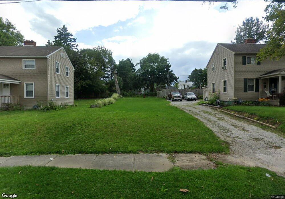
811 Waugh St Alliance, OH 44601
Estimated Value: $90,000 - $109,000
2
Beds
1
Bath
864
Sq Ft
$119/Sq Ft
Est. Value
About This Home
This home is located at 811 Waugh St, Alliance, OH 44601 and is currently estimated at $103,247, approximately $119 per square foot. 811 Waugh St is a home located in Stark County with nearby schools including Alliance Elementary School at Rockhill, Alliance Intermediate School at Northside, and Alliance Middle School.
Ownership History
Date
Name
Owned For
Owner Type
Purchase Details
Closed on
Mar 18, 2021
Sold by
Stark County Land Reutilization Corp
Bought by
Godsey David B
Current Estimated Value
Purchase Details
Closed on
Jan 7, 2021
Sold by
Brogan Tad
Bought by
Stark County Land Reutilization Corp
Purchase Details
Closed on
Sep 3, 2004
Sold by
Carlton Patricia L
Bought by
Brogan Tad
Home Financials for this Owner
Home Financials are based on the most recent Mortgage that was taken out on this home.
Original Mortgage
$44,000
Interest Rate
8.05%
Mortgage Type
Purchase Money Mortgage
Create a Home Valuation Report for This Property
The Home Valuation Report is an in-depth analysis detailing your home's value as well as a comparison with similar homes in the area
Home Values in the Area
Average Home Value in this Area
Purchase History
| Date | Buyer | Sale Price | Title Company |
|---|---|---|---|
| Godsey David B | -- | None Available | |
| Stark County Land Reutilization Corp | -- | None Available | |
| Brogan Tad | $55,000 | -- |
Source: Public Records
Mortgage History
| Date | Status | Borrower | Loan Amount |
|---|---|---|---|
| Previous Owner | Brogan Tad | $44,000 |
Source: Public Records
Tax History Compared to Growth
Tax History
| Year | Tax Paid | Tax Assessment Tax Assessment Total Assessment is a certain percentage of the fair market value that is determined by local assessors to be the total taxable value of land and additions on the property. | Land | Improvement |
|---|---|---|---|---|
| 2025 | -- | $2,660 | $2,660 | -- |
| 2024 | -- | $2,660 | $2,660 | -- |
| 2023 | $105 | $2,560 | $2,560 | -- |
| 2022 | $53 | $2,560 | $2,560 | $0 |
| 2021 | $106 | $2,170 | $2,170 | $0 |
| 2020 | $98 | $2,210 | $2,210 | $0 |
| 2019 | $22,366 | $11,830 | $4,410 | $7,420 |
| 2018 | $508 | $11,830 | $4,410 | $7,420 |
| 2017 | $3,152 | $9,910 | $3,710 | $6,200 |
| 2016 | $2,562 | $9,910 | $3,710 | $6,200 |
| 2015 | $462 | $9,910 | $3,710 | $6,200 |
| 2014 | $423 | $9,080 | $3,400 | $5,680 |
| 2013 | $461 | $9,080 | $3,400 | $5,680 |
Source: Public Records
Map
Nearby Homes
- 1395 S Webb Ave
- 729 Waugh St
- 815 Grace St
- 1233 Woodland Ave
- 551 South St
- 1044 S Liberty Ave
- 1175 S Freedom Ave
- 814 Milner St
- 1437 S Linden Ave
- 1005 S Freedom Ave
- 390 E College St
- 831 Wade Ave
- 1846 S Freedom Ave
- 1475 Chatauqua Ct
- 112 E College St
- 317 E State St
- 452 E Summit St
- 442 S Liberty Ave
- 807 S Union Ave
- 432 S Linden Ave
- 803 Waugh St
- 821 Waugh St
- 773 Waugh St
- 1384 S Webb Ave
- 1405 S Morgan Ave
- 763 Waugh St
- 1415 S Morgan Ave
- 832 Waugh St
- 1423 S Morgan Ave
- 1382 S Webb Ave
- 755 Waugh St
- 1433 S Morgan Ave
- 850 Grace St
- 824 Grace St
- 1395 S Morgan Ave
- 1385 S Morgan Ave
- 832 Grace St
- 1441 S Morgan Ave
- 816 Grace St
- 747 Waugh St