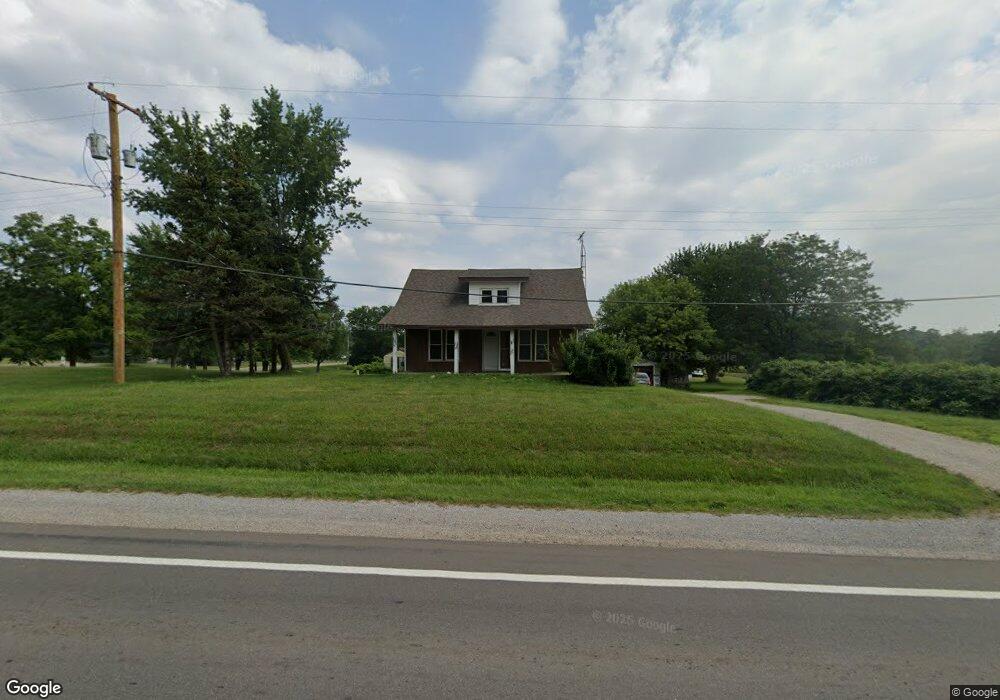
8110 N State Rd Davison, MI 48423
Estimated Value: $165,302 - $209,000
4
Beds
1
Bath
910
Sq Ft
$206/Sq Ft
Est. Value
About This Home
This home is located at 8110 N State Rd, Davison, MI 48423 and is currently estimated at $187,826, approximately $206 per square foot. 8110 N State Rd is a home located in Genesee County with nearby schools including Columbiaville Elementary School, Otisville Elementary School, and Lakeville Middle School.
Ownership History
Date
Name
Owned For
Owner Type
Purchase Details
Closed on
Mar 8, 2012
Sold by
Dynes Gary W and Dynes Samantha S
Bought by
Matarweh Ghattas Suleiman and Matarweh Yacoub S
Current Estimated Value
Purchase Details
Closed on
Jun 8, 2000
Sold by
Dynes May C
Bought by
Dynes Gary W and Dynes Samantha S
Home Financials for this Owner
Home Financials are based on the most recent Mortgage that was taken out on this home.
Original Mortgage
$123,250
Interest Rate
9.37%
Mortgage Type
Purchase Money Mortgage
Create a Home Valuation Report for This Property
The Home Valuation Report is an in-depth analysis detailing your home's value as well as a comparison with similar homes in the area
Home Values in the Area
Average Home Value in this Area
Purchase History
| Date | Buyer | Sale Price | Title Company |
|---|---|---|---|
| Matarweh Ghattas Suleiman | $44,000 | First American Title Ins Co | |
| Dynes Gary W | $60,000 | Centennial Title & Abstract |
Source: Public Records
Mortgage History
| Date | Status | Borrower | Loan Amount |
|---|---|---|---|
| Previous Owner | Dynes Gary W | $123,250 |
Source: Public Records
Tax History
| Year | Tax Paid | Tax Assessment Tax Assessment Total Assessment is a certain percentage of the fair market value that is determined by local assessors to be the total taxable value of land and additions on the property. | Land | Improvement |
|---|---|---|---|---|
| 2025 | $1,838 | $68,700 | $0 | $0 |
| 2024 | $359 | $65,300 | $0 | $0 |
| 2023 | $342 | $59,700 | $0 | $0 |
| 2022 | $1,612 | $54,100 | $0 | $0 |
| 2021 | $1,603 | $46,800 | $0 | $0 |
| 2020 | $313 | $43,300 | $0 | $0 |
| 2019 | $308 | $42,400 | $0 | $0 |
| 2018 | $1,176 | $36,400 | $0 | $0 |
| 2017 | $1,453 | $36,400 | $0 | $0 |
| 2016 | $1,460 | $36,400 | $0 | $0 |
| 2015 | $1,170 | $32,000 | $0 | $0 |
Source: Public Records
Map
Nearby Homes
- 10287 Frances Rd
- 8054 N Gale Rd
- 11074 E Mount Morris Rd
- 8460 Gale Rd
- 8393 Gale Rd
- 11033 Carr Rd
- 6405 N State Rd
- 9465 Hubbard Rd
- 9377 Hubbard Rd
- 2444 E Stanley Rd
- 6152 N Gale Rd
- 10275 Newland Dr
- 5501 N State Rd
- 10374 Wilson Rd
- V/L N Irish Rd
- 12429 Mt Morris Rd
- 151 E Main St
- 7368 Vassar Rd
- 0 N Vassar Rd Unit 50202419
- 5383 N Henderson Rd
- 10034 E Mount Morris Rd
- 8095 N State Rd
- 10048 E Mount Morris Rd
- 10048 E Mount Morris Rd
- 8095 N State Rd
- 10047 E Mount Morris Rd
- 10047 Mt Morris
- 8129 N State Rd
- 8085 N State Rd
- 8145 N State Rd
- 10067 E Mt Morris Rd
- 10067 E Mount Morris Rd
- 8153 N State Rd
- 10080 E Mount Morris Rd
- 10079 E Mount Morris Rd
- 10079 E Mt Morris Rd
- 8044 N State Rd
- 8194 N State Rd
- 10096 E Mount Morris Rd
- 8051 N State Rd
Your Personal Tour Guide
Ask me questions while you tour the home.