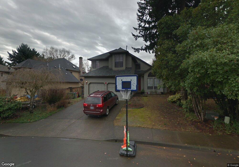
8110 SW Bond St Portland, OR 97224
Durham Road NeighborhoodEstimated Value: $562,000 - $615,000
3
Beds
3
Baths
1,803
Sq Ft
$327/Sq Ft
Est. Value
About This Home
This home is located at 8110 SW Bond St, Portland, OR 97224 and is currently estimated at $590,133, approximately $327 per square foot. 8110 SW Bond St is a home located in Washington County with nearby schools including Durham Elementary School, Twality Middle School, and Tigard High School.
Ownership History
Date
Name
Owned For
Owner Type
Purchase Details
Closed on
May 24, 2006
Sold by
Weijo Richard O and Weijo Sharon K
Bought by
Schmidt Donald E and Schmidt Angela Clayton
Current Estimated Value
Home Financials for this Owner
Home Financials are based on the most recent Mortgage that was taken out on this home.
Original Mortgage
$235,900
Outstanding Balance
$137,092
Interest Rate
6.46%
Mortgage Type
Fannie Mae Freddie Mac
Estimated Equity
$453,041
Purchase Details
Closed on
Apr 30, 1999
Sold by
Weijo Richard O and Weijo Sharon K
Bought by
Weijo Richard O and Weijo Sharon K
Create a Home Valuation Report for This Property
The Home Valuation Report is an in-depth analysis detailing your home's value as well as a comparison with similar homes in the area
Home Values in the Area
Average Home Value in this Area
Purchase History
| Date | Buyer | Sale Price | Title Company |
|---|---|---|---|
| Schmidt Donald E | $294,900 | Ticor Title Insurance Compan | |
| Weijo Richard O | -- | -- |
Source: Public Records
Mortgage History
| Date | Status | Borrower | Loan Amount |
|---|---|---|---|
| Open | Schmidt Donald E | $235,900 |
Source: Public Records
Tax History Compared to Growth
Tax History
| Year | Tax Paid | Tax Assessment Tax Assessment Total Assessment is a certain percentage of the fair market value that is determined by local assessors to be the total taxable value of land and additions on the property. | Land | Improvement |
|---|---|---|---|---|
| 2025 | $5,940 | $348,430 | -- | -- |
| 2024 | $5,781 | $338,290 | -- | -- |
| 2023 | $5,781 | $297,210 | $0 | $0 |
| 2022 | $5,081 | $297,210 | $0 | $0 |
| 2021 | $4,954 | $280,160 | $0 | $0 |
| 2020 | $4,805 | $272,000 | $0 | $0 |
| 2019 | $4,597 | $264,080 | $0 | $0 |
| 2018 | $4,410 | $256,390 | $0 | $0 |
| 2017 | $4,251 | $248,930 | $0 | $0 |
| 2016 | $4,059 | $241,680 | $0 | $0 |
| 2015 | $3,902 | $234,650 | $0 | $0 |
| 2014 | $3,786 | $227,820 | $0 | $0 |
Source: Public Records
Map
Nearby Homes
- 7946 SW Churchill Way
- 8539 SW Avon St
- 15974 SW 76th Ave
- 7585 SW Onnaf Ct
- 15512 SW Everglade Ave
- 15432 SW Everglade Ave
- 15755 SW 87th Ave
- 8596 SW Schmidt Loop
- 8420 SW Norfolk Ct
- 16447 SW Owlet Terrace
- 16485 SW Cambridge Ln
- 16491 SW Cambridge Ln
- 15735 SW 88th Ave
- 16461 SW Cambridge Ln
- 16353 SW Cambridge Ln
- 16426 SW Cambridge Ln
- 16401 SW Cambridge Ln
- Ingleman Plan at Durham Heights
- Beekman Plan at Durham Heights
- Eason Plan at Durham Heights
- 8090 SW Bond St
- 8132 SW Bond St
- 15999 SW 81st Place
- 16001 SW 81st Place
- 8070 SW Bond St
- 15910 SW 81st Ct
- 8154 SW Bond St
- 15998 SW 81st Place
- 16025 SW 81st Place
- 15932 SW 81st Ct
- 16000 SW 81st Place
- 8050 SW Bond St
- 8085 SW Bond St
- 8065 SW Bond St
- 15888 SW 81st Ave
- 8065 SW Carol Ann Ct
- 16020 SW 81st Place
- 15987 SW 80th Place
- 8077 SW Carol Ann Ct
- 15855 SW 80th Ave